Save this place and discover nearby attractions with NextOnTrip
In the app you can add it to your favorites, see what else is worth visiting nearby on the map, and earn a badge for your visit.
The app is available for iPhone and Android.
About this place
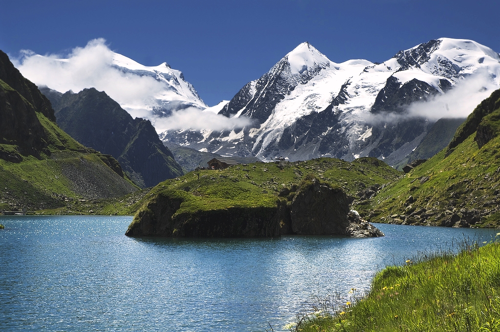
Crêta de Vella is a 2,519 m summit in the Swiss Pennine Alps, rising south of Liddes in the canton of Valais. The nearest hamlet is Dranse, part of the Liddes municipality in the Val d'Entremont.
Where is Crêta de Vella?
The mountain marks the northern end of the ridge that separates the Comba de l'A from the main Entremont valley. Its coordinates are roughly 45.96° N, 7.17° E. A col at 2,495 m lies just south of the top, which makes the summit stand out clearly along the crest. It is a mid-sized Alpine objective: no glaciers are involved, and the views take in the valley villages and higher neighbours such as La Tsavre (2,978 m), about 6 km away.
How do you reach the top?
The best-documented approach starts at Bourg-Saint-Pierre. The route climbs steep slopes to the chalets of Les Arpalles (1,892 m), continues to Champ Long (2,132 m), then follows the ridge to the summit. The Swiss Alpine Club (SAC) grades the winter ascent PD, with about 1,120 m of climbing. In summer the same area works as a hike: a described out-and-back trail covers about 12 km and takes roughly 5 hours on average.
From Liddes itself, a ski-touring variant exists. It follows the Tommelley path, traverses at 2,160 m and reaches the east-facing slopes that lead to the summit.
When should you go?
Winter and spring bring ski tourers. In summer, pick dry, settled days, since the route runs over open slopes and a ridge with no huts along the way. Start early: the ascent takes most of a day, and mountain weather often changes in the afternoon.
What else is worth knowing?
Birdingplaces lists Crêta de Vella as a birdwatching site, so binoculars are worth packing. Liddes and the Val d'Entremont lie on the road toward the Great St Bernard Pass, so reaching the valley and finding a bed there is straightforward.
Frequently asked questions
How high is Crêta de Vella?
The summit stands at 2,519 m above sea level. The col on its south side sits at 2,495 m.
Where is the best place to start?
The best-documented start is Bourg-Saint-Pierre, via Les Arpalles and Champ Long. The ski variant starts from Liddes on the Tommelley path.
How long does the trip take?
The out-and-back route from the Bourg-Saint-Pierre area is about 12 km and takes around 5 hours on average.
Is the route difficult?
The SAC grades the ski-touring route PD, with roughly 1,120 m of ascent. It calls for good fitness and mountain-terrain judgment.
Nearby places

Earn badges for the places you visit
Download NextOnTrip, discover new places and check off your trails.