Save this place and discover nearby attractions with NextOnTrip
In the app you can add it to your favorites, see what else is worth visiting nearby on the map, and earn a badge for your visit.
The app is available for iPhone and Android.
About this place
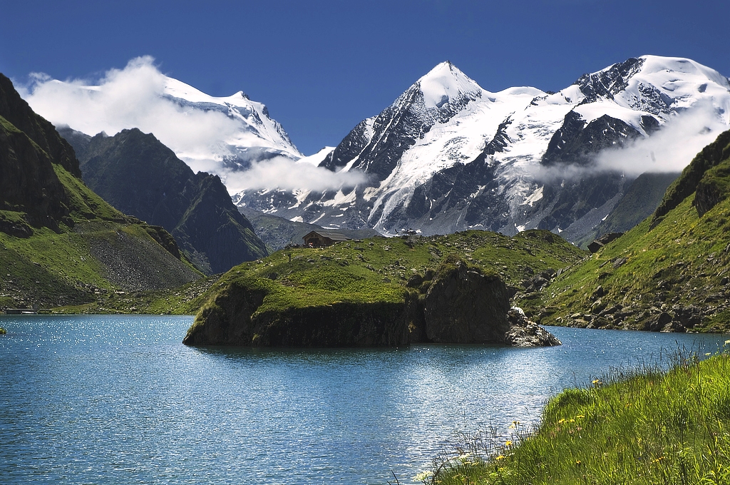
Six Blanc is a summit of roughly 2,445 m in the Swiss canton of Valais, rising above Orsières in the Val d'Entremont. The peak sits on the Swiss side of the Pennine Alps. It works as a viewpoint over the Bagnes valley and the Orsières area, for hikers in summer and ski tourers in winter.
Where is Six Blanc?
The mountain closes the northern end of the ridge that separates the Entremont valley from the Bagnes valley, a chain that runs on to the Grand Combin. From the top you look down on Orsières, Sembrancher and Le Châble. Coordinates are about 46.04° N, 7.19° E. Sources give the height as either 2,444 or 2,445 m.
How do you get there?
The usual summer start is the car park at the Moay restaurant. A dirt road climbs there from La Cot. You can also come up from the valley by the Bruson cable cars, part of the 4 Vallées ski area.
A shorter option is the Col du Six Blanc (about 2,226 m). It is an easy walk of around an hour return from the Alpage du Six Blanc (about 2,055 m), which a gravel road also serves.
Which routes are worth doing?
- Moay loop: about 18.7 km with roughly 1,070 m of climbing, around 8 hours on average. It is graded difficult, links Six Blanc with Mont Brûlé and the Col de Mille, and passes the Croix de Six Blanc.
- Short walk to the col: for anyone who wants the scenery without a full day out.
- Winter ski touring: graded PD-. From Commeire on the south side, count 2.5 to 3 hours and about 1,000 m of ascent. From the Bruson ski area it is about an hour and 225 m up, with a descent of around 1,600 m.
What will you see?
The summit overlooks the Val de Bagnes and the Orsières valley, and in clear weather many peaks of the French and Swiss Alps. In summer, Hérens cattle, a Valais breed, graze the pastures. Nearby Mont Brûlé offers a full 360-degree panorama.
Where can you sleep or eat?
The closest hut is Cabane Brunet at 2,104 m, with 56 beds and an emergency winter shelter for 12. The Moay restaurant by the car park is the natural start and finish point.
When should you go?
Summer suits hiking, once the trails and the access road are clear of snow. Winter turns the peak into a ski touring objective. Check the forecast and snow conditions before setting out, since this is high-mountain terrain.
Frequently asked questions
Is Six Blanc in France? No. It is in Switzerland, in Valais above Orsières.
How long does the climb take? The full Moay loop takes about 8 hours. In winter, the ski tour from Bruson is roughly an hour up, and from Commeire up to 3 hours.
Can you drive close to the start? Yes. A dirt road from La Cot reaches the Moay restaurant car park. From there you continue on foot.
Is there a hut on the mountain? Cabane Brunet (2,104 m, 56 beds) is nearby. There is no accommodation on the summit itself.
Nearby places

Earn badges for the places you visit
Download NextOnTrip, discover new places and check off your trails.