About this place
Cima di Morissolo rises above Cassino, a small hamlet within the municipality of Cannero Riviera on the shores of Lake Maggiore, in Piedmont. The peak reaches roughly 1,313 metres and closes off the ridge that separates the lake basin from the Veddasca Valley.
What will you see at the top?
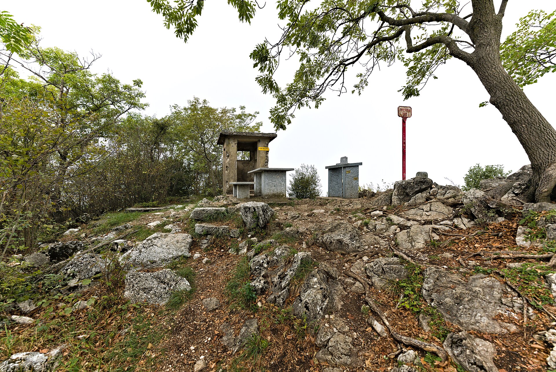
Morissolo is the only summit in the area offering a full view of Lake Maggiore from one end to the other. Three crosses mark the top, visible from a long way off. Thanks to its steep, pyramid-like profile, locals nicknamed it the "Cervino di Cannero" — the Matterhorn of Cannero.
Just below the summit, carved straight into the rock, lie the fortifications of the Cadorna Line, a defensive system built by the Italian army between 1915 and 1917 against a possible German invasion through Switzerland. The invasion never came, so the tunnels and gun emplacements were never used in combat. Inside the mountain, galleries still hold the positions for four cannons capable of firing 80-kilogram shells up to 14 kilometres. Walking through the underground passages leads to a lookout with a sheer drop straight down to the lake.
How do you get there?
The ascent starts in Cassino or directly from lakeside Cannero Riviera. The route climbs through the hamlet, then follows an old mule track past the chapel of San Giuseppe to Oggiogno, at 515 metres. From there the path winds through chestnut woods toward Alpe Faiet before reaching a junction that leads into the Cadorna Line galleries and on to the summit.
The full climb covers about 1,130 metres of elevation gain and takes an average hiker close to five hours. Guides recommend walking the loop counter-clockwise, so the most exposed, rocky stretch is tackled on the way down rather than on the way up — a safer order on loose ground.
When should you go?
Late spring and autumn are the best windows: temperatures stay mild and visibility over the lake is at its sharpest. In summer, the open sections offer little shade, so an early start is worth planning. In winter, the exposed ground near the galleries can ice over, so extra caution and proper footwear matter.
Who is this hike for?
This is a mountain trail, not a stroll — it calls for good fitness and a head for heights, since parts of the route near the galleries skirt a steep drop. It suits experienced hikers rather than families with young children. In exchange, walkers get one of the widest panoramas on all of Lake Maggiore and a rare chance to explore genuine World War I fortifications still cut into the rock.
Frequently Asked Questions
How high is Cima di Morissolo? The summit sits at roughly 1,313 metres above sea level.
What is the Cadorna Line on Morissolo? It is a network of tunnels and artillery positions built by Italy between 1915 and 1917 to guard against a possible German invasion via Switzerland. It was never used in combat.
How long does the hike take? The full loop from Cannero Riviera or Cassino takes about five hours, with roughly 1,130 metres of elevation gain.
Is the trail difficult? Yes — it requires good fitness and no fear of heights. The exposed stretch near the galleries runs along a drop, so it's best walked counter-clockwise, tackling that section on the descent.
Nearby places

Earn badges for the places you visit
Download NextOnTrip, discover new places and check off your trails.