Save this place and discover nearby attractions with NextOnTrip
In the app you can add it to your favorites, see what else is worth visiting nearby on the map, and earn a badge for your visit.
The app is available for iPhone and Android.
About this place
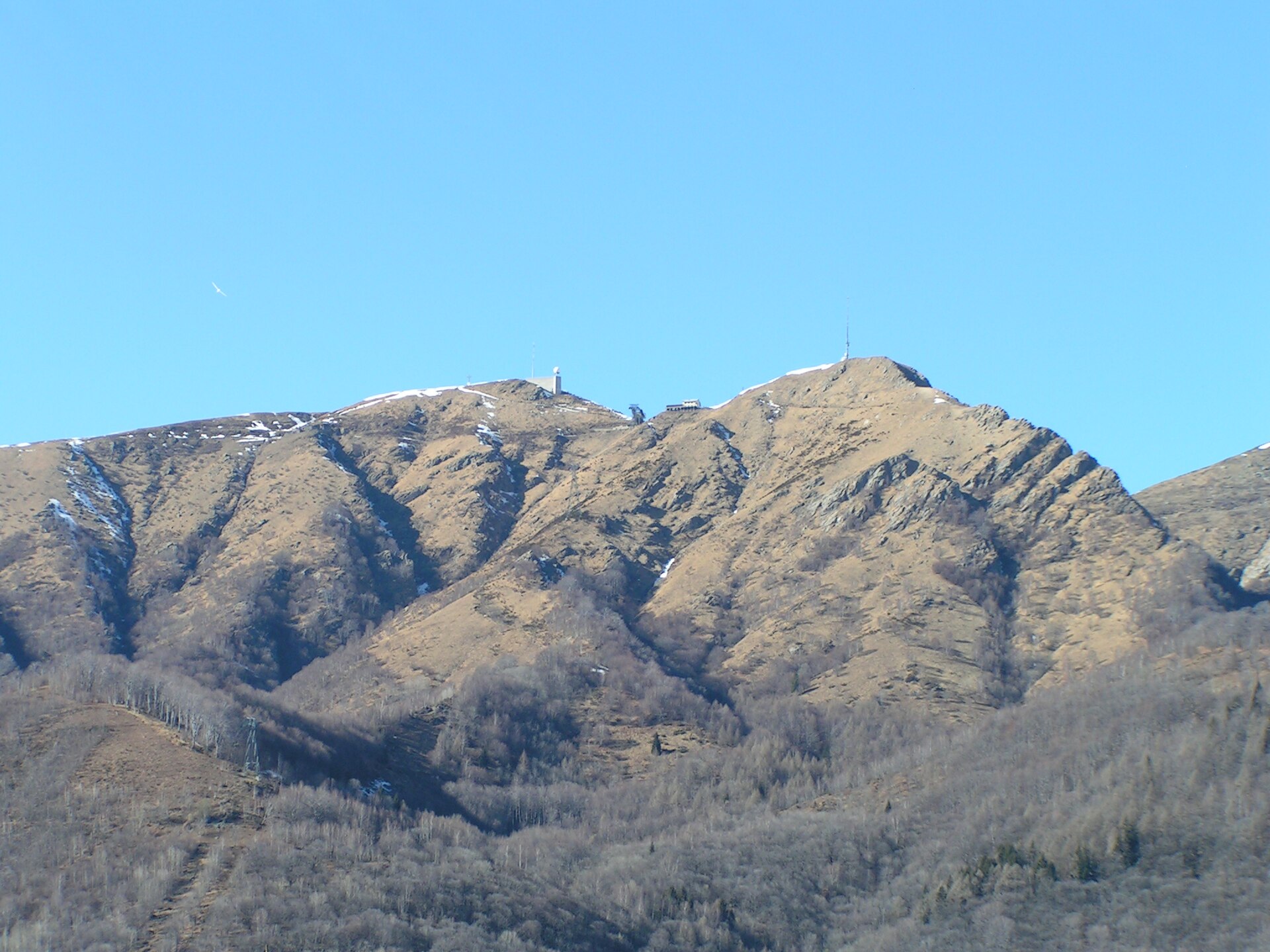
Monte Gambarogno is a 1,734 m summit in the Swiss canton of Ticino, rising above the eastern shore of Lake Maggiore near Piazzogna. Part of the Lugano Prealps, it is among the most approachable viewpoints in the region: from the pass on its ridge, the top is a walk of just over half an hour.
Where is Monte Gambarogno?
The mountain sits on the ridge dividing the Lake Maggiore basin from the Italian side, within the municipality of Gambarogno. To the south, a saddle links it to the Monte Tamaro massif (1,961 m). Piazzogna lies right on the lakeshore, so the height difference between water and summit is obvious from the waterfront.
How do you get there?
Most hikers start at the Alpe di Neggia pass, at 1,395 m. The road climbs from Luino through the Val Veddasca and Indemini, briefly crossing Italian territory before returning to Switzerland. From the pass you gain about 350 m of height.
The alternative is to begin in Indemini (around 980 m) and walk past the Sant'Anna chapel; reaching the ridge takes roughly 45 minutes. Many people join both approaches into a loop, going up the north ridge from Alpe di Neggia and coming down via Sant'Anna. Alpine club descriptions put this circuit at about 9 km with 550 m of ascent.
What can you see from the top?
The view takes in Lake Maggiore, which from above looks like a broad blue ribbon dotted with small sailing boats. Toward the Alps you can pick out the Monte Rosa and Mischabel massifs and Basodino. Visibility is usually best in the morning, after a weather front has cleared the air.
When should you go?
Late spring to autumn is the practical window, when paths are free of snow. In summer, start early to avoid the heat and afternoon cloud. Autumn often brings the sharpest views.
What else is nearby?
From Alpe di Neggia you can also plan an ascent of Monte Tamaro. One described route takes about five and a half hours including breaks, and combining both peaks in a single day adds up to more than 2,000 m of climbing, so it suits fit walkers only. Afterward, drive down to the lake and have lunch in one of the Gambarogno villages.
Frequently asked questions
How long does the climb take? Just over 30 minutes from Alpe di Neggia; from Indemini via Sant'Anna, about 45 minutes to the ridge, then on to the summit.
Is it a difficult hike? No climbing gear is needed. The path follows the ridge, but sturdy hiking boots and a current forecast are essential.
How high is the summit? 1,734 m above sea level, roughly 1,350 m above the lake surface.
Can I drive to the top? You can drive to the Alpe di Neggia pass (1,395 m); the rest is on foot.
Nearby places

Earn badges for the places you visit
Download NextOnTrip, discover new places and check off your trails.