About this place
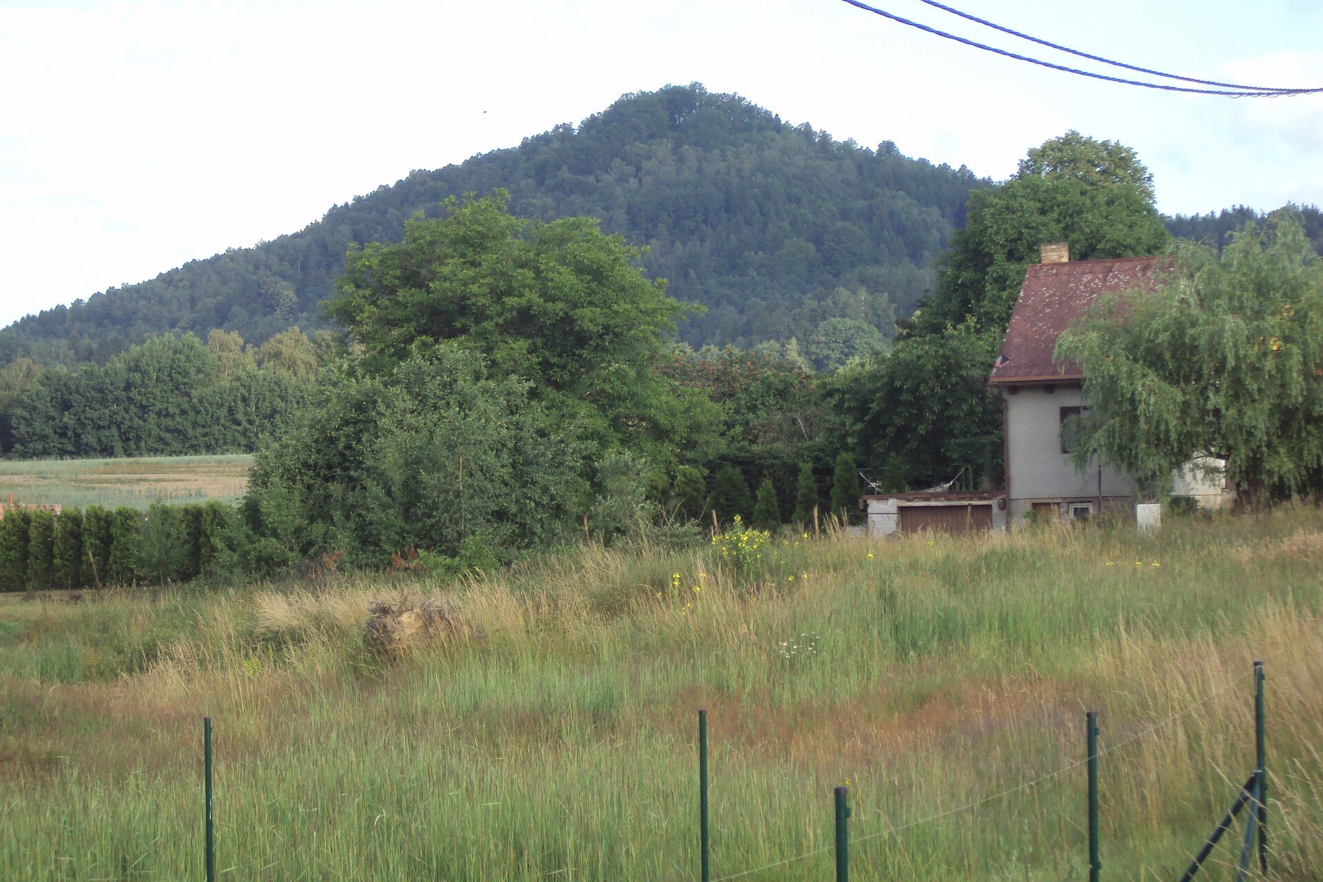
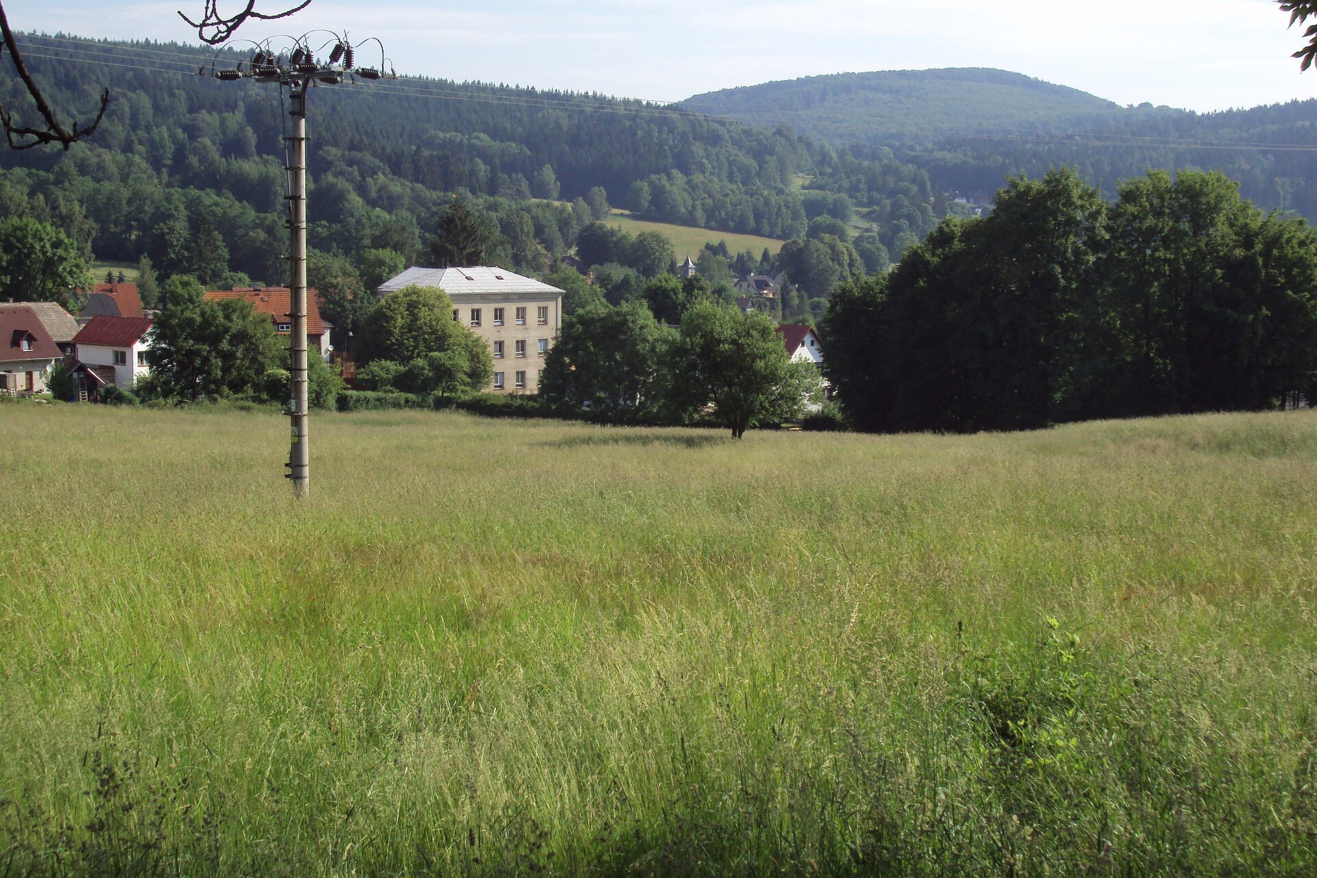
Češka is a modest but distinctive summit in the České středohoří highlands, right next to the village of Slunečná in northern Czechia. It rises to 631 metres above sea level in the northeastern part of the range, within the Česká Lípa district and the municipality of Kamenický Šenov. The whole area falls inside the České středohoří Protected Landscape Area, one of the most visually striking regions in Czechia, famous for its dome-shaped hills of volcanic origin.
How do you get to Češka?
The closest settlement is Prácheň, barely a kilometre north of the summit, and it offers the shortest, most convenient approach. Slunečná lies just under 3 km away and works well as a starting point for a longer walk through the surrounding hills. A blue-marked side trail, roughly 500 metres long, leads to the top from a junction near the Česká skála rock. It's a short but clearly marked climb, which makes Češka a good choice for a relaxed few-hour outing rather than a full day's trek.
What will you see at the top?
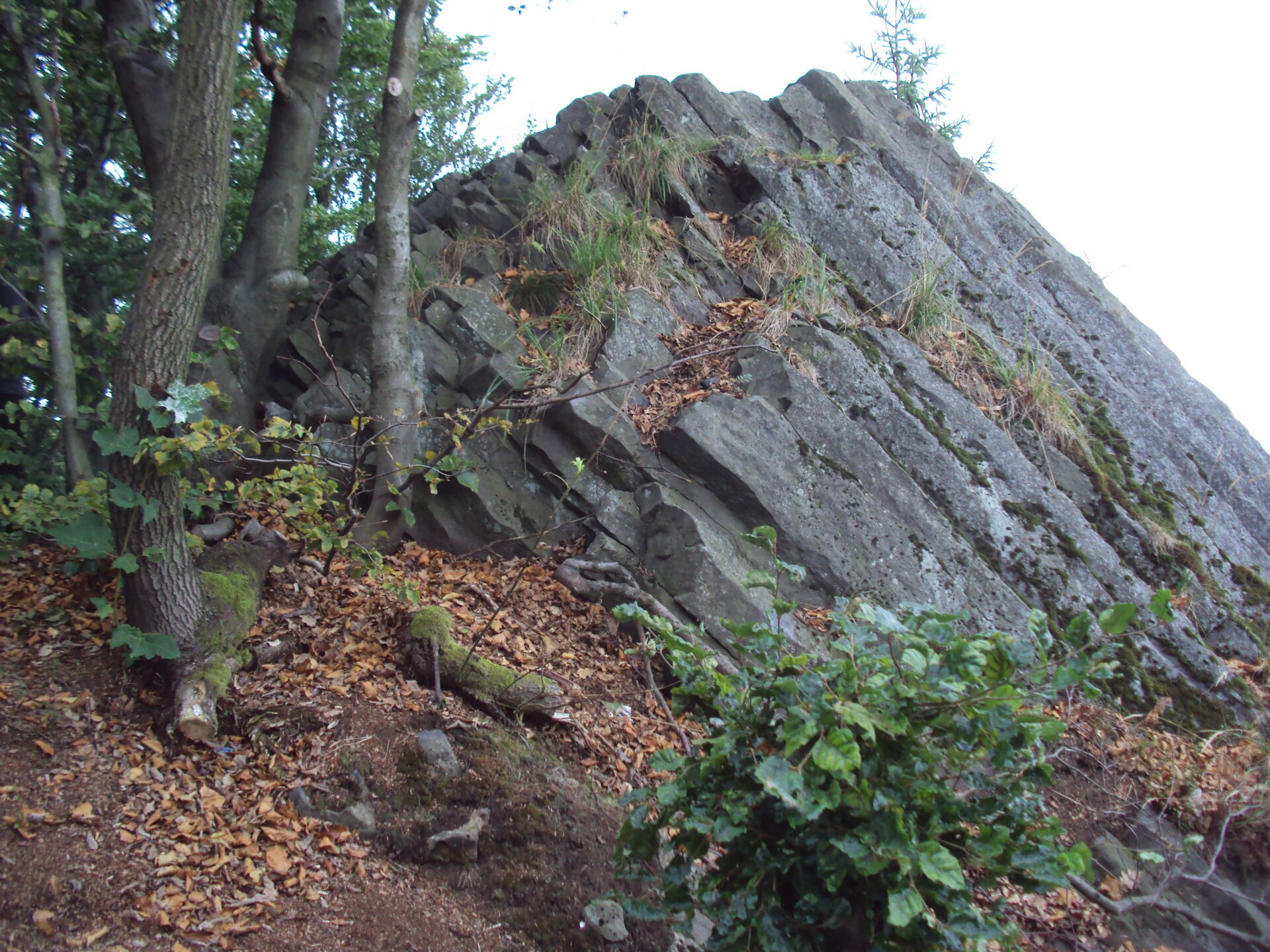
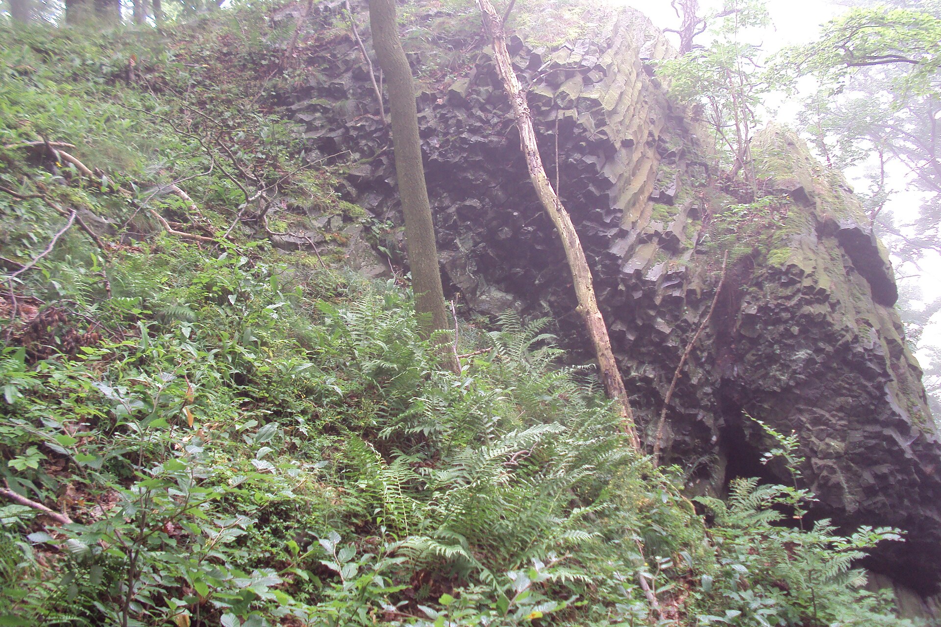
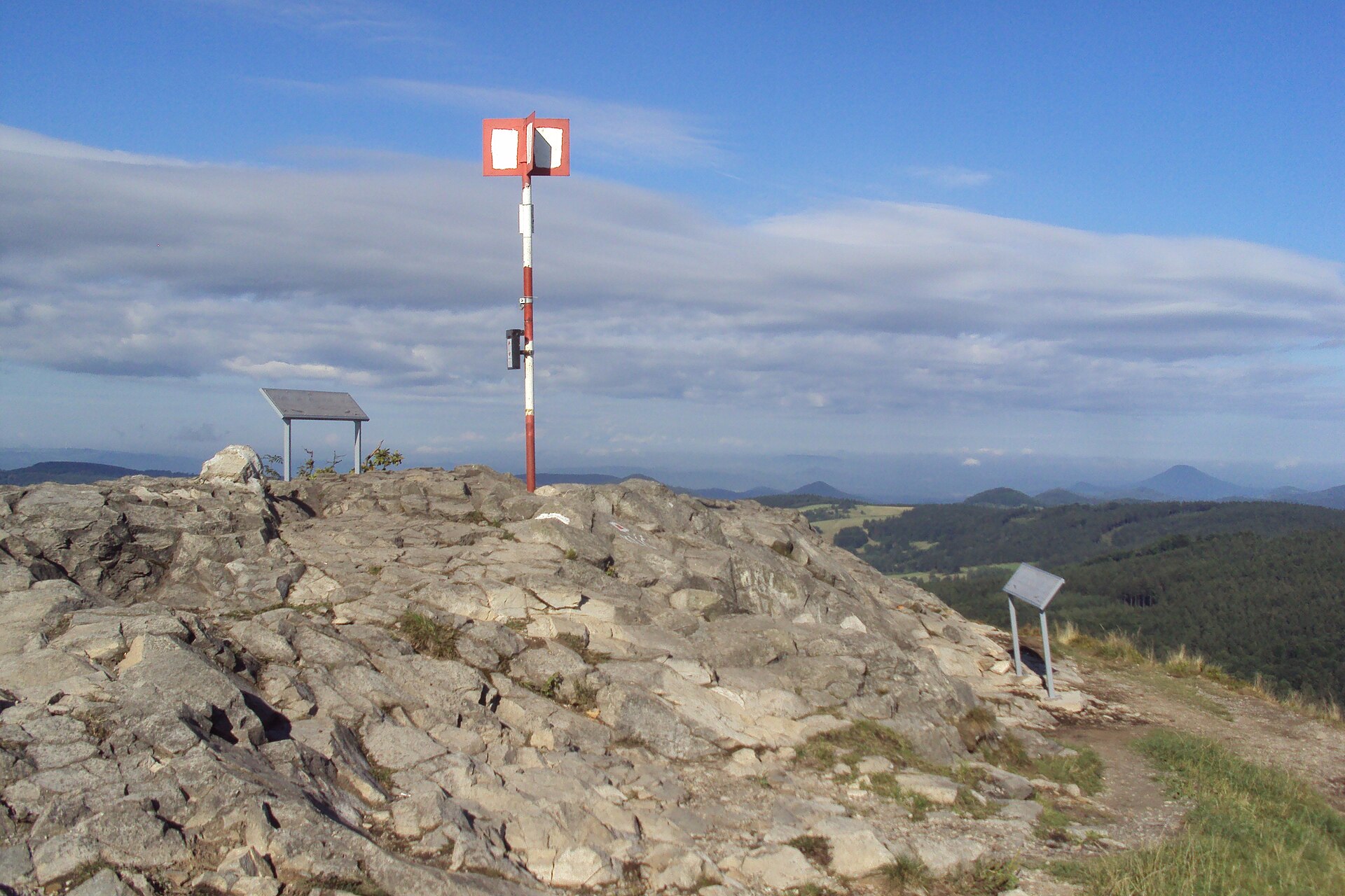
Češka is a typical basalt cone of the České středohoří — a hill built mainly of basanite, the volcanic rock that shaped this entire region millions of years ago. On the northern edge of the summit sits a rocky viewpoint known as Česká skála (Czech Rock). It once offered views to the northeast toward Prácheň and the distinctive Panská skála rock formation. Today that view is considerably more limited, as vegetation and forest have grown over much of the slopes — Češka is now more of a destination for a quiet woodland walk than for wide panoramas.
An interesting trace of the hill's industrial past are two short exploratory tunnels drilled in the 1980s. They were part of a survey aimed at assessing basalt deposits suitable for mining. The simple, short passages never led to large-scale extraction, and today they're sealed with grilles, serving as a shelter and winter roost for bats — making them part of the local nature conservation effort.
When is the best time to visit?
Given the forested approach and overgrown summit, Češka is at its best in spring and autumn, when vegetation is sparser and the woods are easier to walk through. In summer, dense greenery further narrows the already modest views, though it does provide welcome shade along the trail. In winter, the short climb from Prácheň remains manageable even with light snow cover, though it's worth taking care on the rocky stretch near Česká skála.
What else can you combine with a visit to Češka?
The hill lies along the route of the "Výroční stezka" (Anniversary Trail), whose second stage runs precisely through Češka, Slunečná and Žandov. That makes it easy to turn a short summit walk into a longer, multi-hour route linking several villages and viewpoints across the České středohoří region.
Frequently Asked Questions
How high is Češka? The summit reaches 631 metres above sea level and sits in the northeastern part of the České středohoří, within the Česká Lípa district.
Where's the best place to start the hike? The shortest approach is on foot from nearby Prácheň, about a kilometre away. Slunečná, roughly 3 km distant, is a good alternative starting point.
Can you see the surrounding area from Češka? Partly — the Česká skála viewpoint on the summit's northern edge offers a limited view toward Prácheň and Panská skála, though overgrown vegetation has narrowed the panorama compared to the past.
What are the tunnels at the summit? They're two short tunnels drilled in the 1980s during a survey for mineable basalt deposits. They're now closed off with grilles and serve as a winter shelter for bats.
Nearby places

Earn badges for the places you visit
Download NextOnTrip, discover new places and check off your trails.