About this place
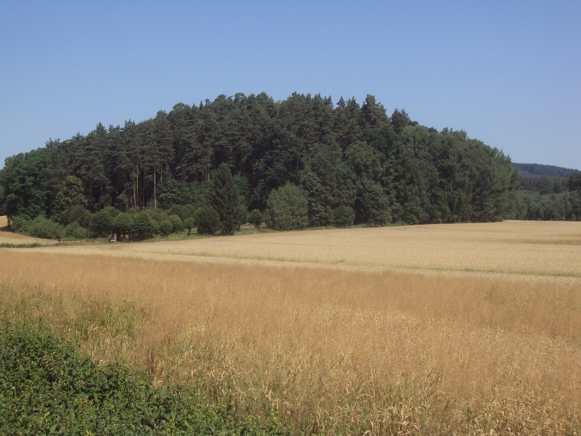
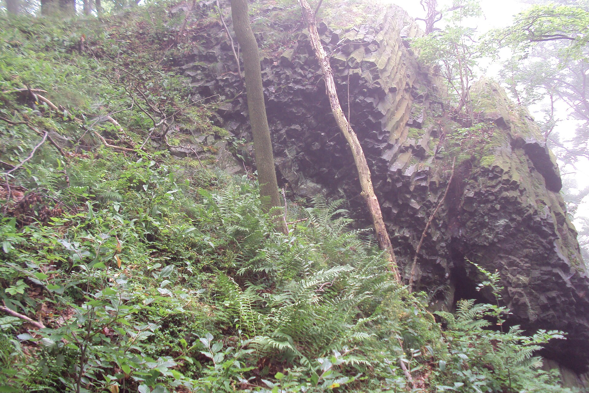
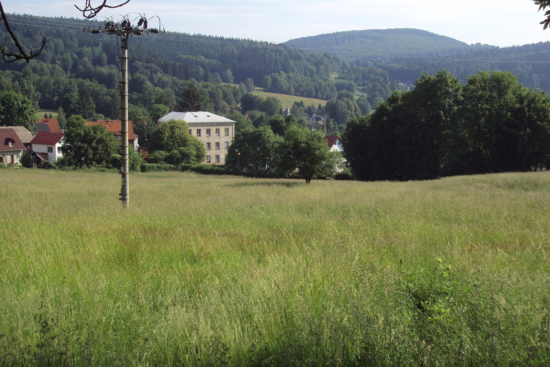
Pomahačův vrch is a modest basalt hill rising to 373 metres above sea level, standing right above the eastern edge of the village of Radvanec in the Česká Lípa district of the Liberec Region, Czech Republic. Geographically it belongs to the Ralská pahorkatina (Ralsko Hills), and more specifically to its Cvikovská pahorkatina subunit — a landscape famous throughout the Lusatian Mountains region for its cone-shaped volcanic hills.
Where exactly is Pomahačův vrch?
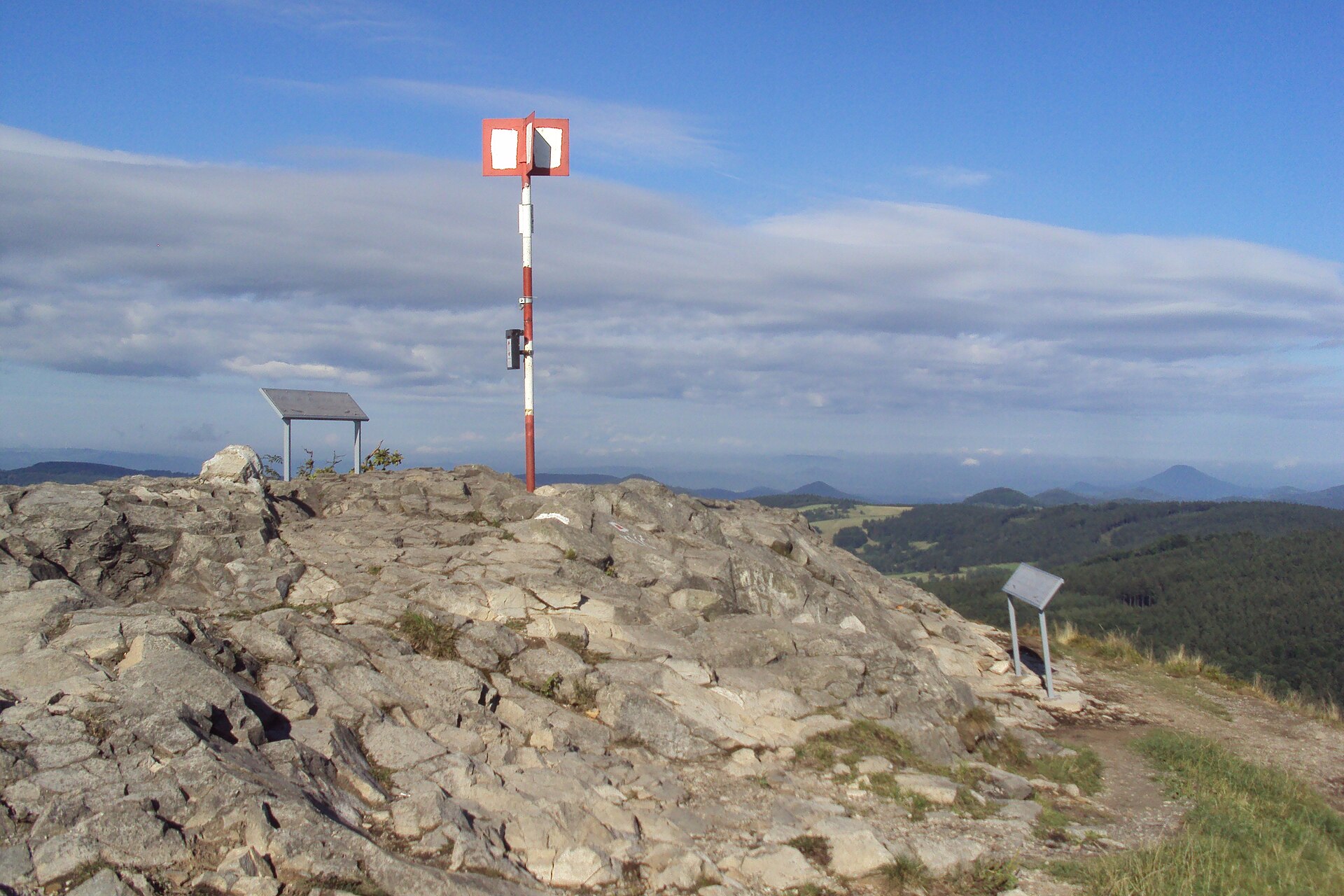
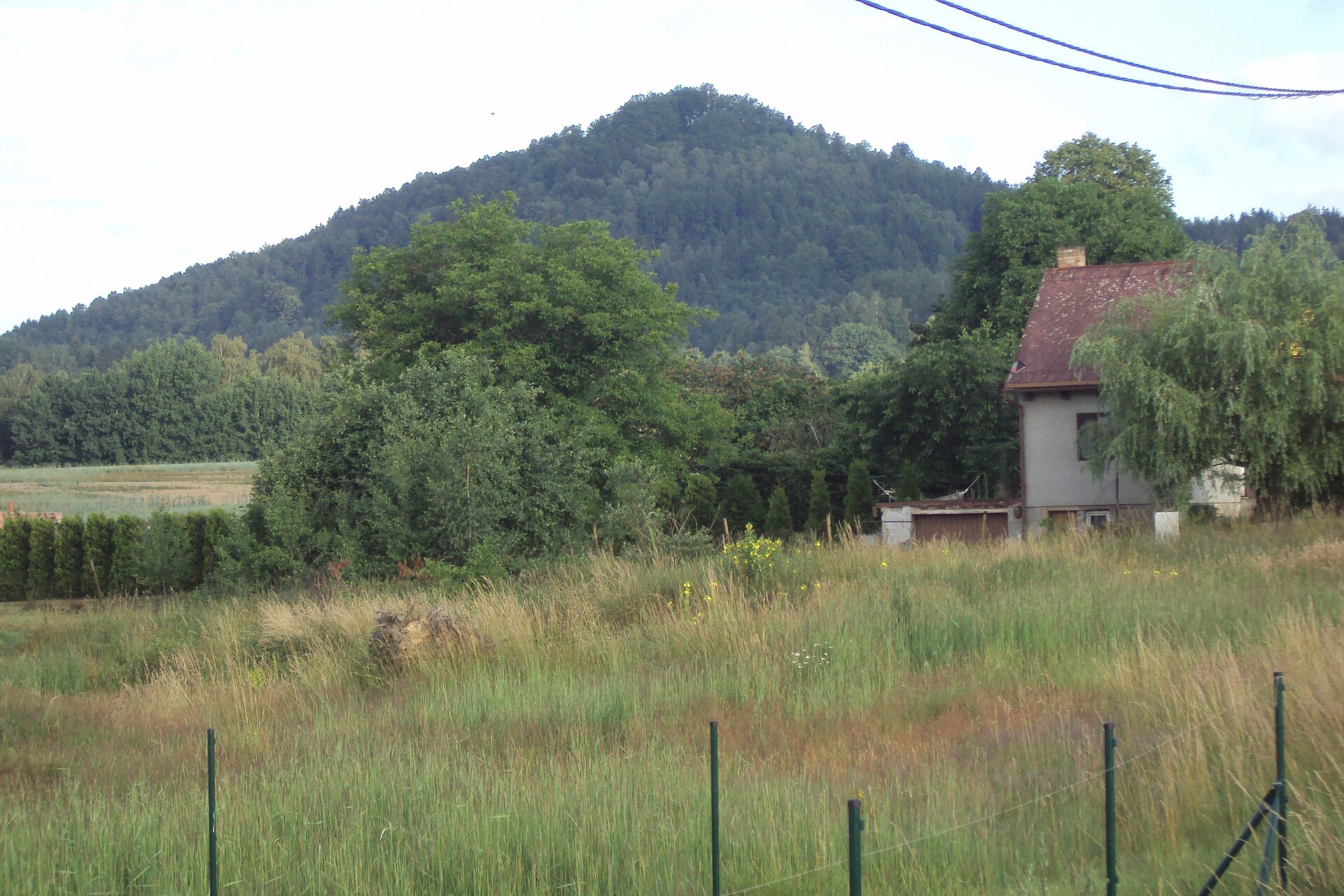
The hill sits roughly a kilometre southwest of Strážný (492 m), the area's tallest and most recognisable peak, topped with its own lookout tower. Pomahačův vrch is essentially the smaller neighbour of that landmark, forming the green backdrop that closes off the horizon above Radvanec. Nearby lies the tiny hamlet of Maxov, behind which rises the distinctly conical summit of Ortel, sloping down toward the Svitávka stream valley in the direction of Lindava.
Where does the name come from?
The hill used to be called Strážný vrch — literally "Watch Hill" — a name now attached to the taller peak next door. Local tradition has it that this earlier name referred to a military lookout post that stood here during the Prussian Wars, used to keep watch over the surrounding area. The current name, Pomahačův vrch, most likely derives from the surname Pomahač — probably a former owner of land or a farmstead at the foot of the hill, though sources don't spell out the connection in detail.
Is there a view from the top?
The summit itself is forested today and offers no view — a contrast to the open, exposed top of nearby Strážný. A clearing on the hill's southern slope, however, does open up a panorama toward Sloup, Radvanec itself, and the hamlet of Maxov. It's a quiet, low-key spot, well away from the crowds that gather at the more prominent attractions nearby.
What else is worth seeing nearby?
The countryside around Radvanec is one of the more picturesque corners of the Lusatian Mountains, rich in the sandstone and basalt rock formations typical of this part of the Czech Republic. About a kilometre north of the village stand the Havraní skály (Raven Rocks) — a group of seven sandstone rock towers rising from a roughly 300-metre-long ridge, with the tallest formations reaching up to 20 metres; a viewing platform has been set up atop one of them. Radvanec itself is a small village of around 300 residents, and its extensive cadastral territory takes in not only Strážný but also the lower hills of Pomahačův vrch and Špaččí vrch.
Hikers can also follow the blue-marked trail from Merboltice toward the lookout tower on Strážný, passing along the way two notable rock formations: Rytířův skok (also known as Strážní věž) and Zvonkový kámen.
Frequently asked questions
How high is Pomahačův vrch? 373 metres above sea level.
Is there a view from the summit? No — the top is wooded. A view toward Sloup, Radvanec, and Maxov opens up from a clearing on the southern slope instead.
Where does the hill's name come from? It was formerly called Strážný vrch, after a watch post dating back to the Prussian Wars. The current name likely traces back to the surname Pomahač.
What else is there to see in the area? Havraní skály, a group of seven sandstone rock towers about 1 km north of Radvanec, and the lookout tower on the nearby 492-metre Strážný peak.
Which geographical region does the hill belong to? The Cvikovská pahorkatina, part of the Ralská pahorkatina within the Lusatian Mountains area.
Nearby places

Earn badges for the places you visit
Download NextOnTrip, discover new places and check off your trails.