About this place
Černá rokle is a national natural monument located in the Central Bohemian municipality of Kosoř, on the western edge of Prague. It forms part of the Bohemian Karst Protected Landscape Area (Český kras) and ranks among the most important geological sites in the Czech Republic.
Why does this ravine matter to geologists?
The gorge developed on the site of former quarries, where exposed rock layers document the transition from the Silurian to the Devonian period. This is precisely where the boundary between the Lochkov and Prague stages runs — a stretch of geological time that played a key role in resolving the so-called Hercynian question and in fixing the Silurian–Devonian boundary. The dark colour of the limestone, which gave the locality its name ("Black Gorge"), comes from marine mud and the remains of organisms deposited roughly 400 million years ago, during the Paleozoic Devonian period. The site has been known to palaeontologists since the time of Joachim Barrande, the 19th-century researcher of fossils who worked in Bohemia. In 1970, UNESCO recognised the local stratotype as the global reference point defining the transition into the Prague stage of the Devonian, and the natural monument itself was designated that same year.
What can visitors see on site?
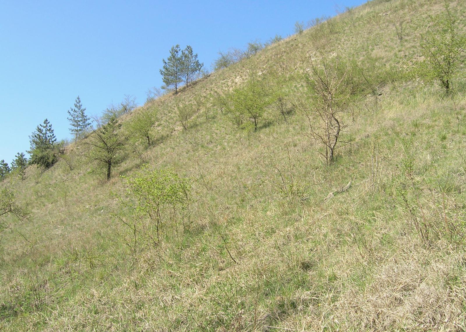
Černá rokle is essentially a complex of former quarries where tall limestone cliffs are exposed. These rocks contain rare fossils, including trilobites — among the most characteristic animals of Paleozoic seas. Beyond its geological value, the area also has ecological significance: protected beech forests grow here, and the ravine provides habitat for local wildlife.
How can you explore Černá rokle?
An educational trail runs through the area, starting in the Prague district of Radotín and covering roughly 3.5 kilometres. Information panels along the route explain the local geology, wildlife, and protected beech forests. The trail leads to the historic village of Kosoř and ends at its fifth stop — a scenic viewpoint at an elevation of about 100 metres, offering views over the valley. Walking through the ravine is especially striking in autumn, when the surrounding, mostly deciduous forests display their full range of colours and the thinned tree canopies reveal tall limestone cliffs from below.
Frequently asked questions
Where exactly is Černá rokle located? In the municipality of Kosoř in the Prague-West District, on the western edge of Prague, within the Bohemian Karst Protected Landscape Area.
When was the natural monument established? In 1970, the same year UNESCO recognised the local stratotype as the global reference point for the transition into the Prague stage of the Devonian.
Where does the name Černá rokle come from? From the dark colour of the exposed limestone, formed from marine sediments and the remains of organisms deposited around 400 million years ago.
What is worth seeing during a visit? The tall limestone walls of the former quarries, fossil traces (including trilobites), protected beech forests, and the viewpoint at the end of the educational trail.
How long is the hiking trail? The educational trail is about 3.5 kilometres long and runs from Radotín to Kosoř.
When is the best time to visit? In autumn, when the deciduous forests in the ravine turn colourful and the thinned canopy opens up views of the limestone cliffs.
Nearby places

Earn badges for the places you visit
Download NextOnTrip, discover new places and check off your trails.