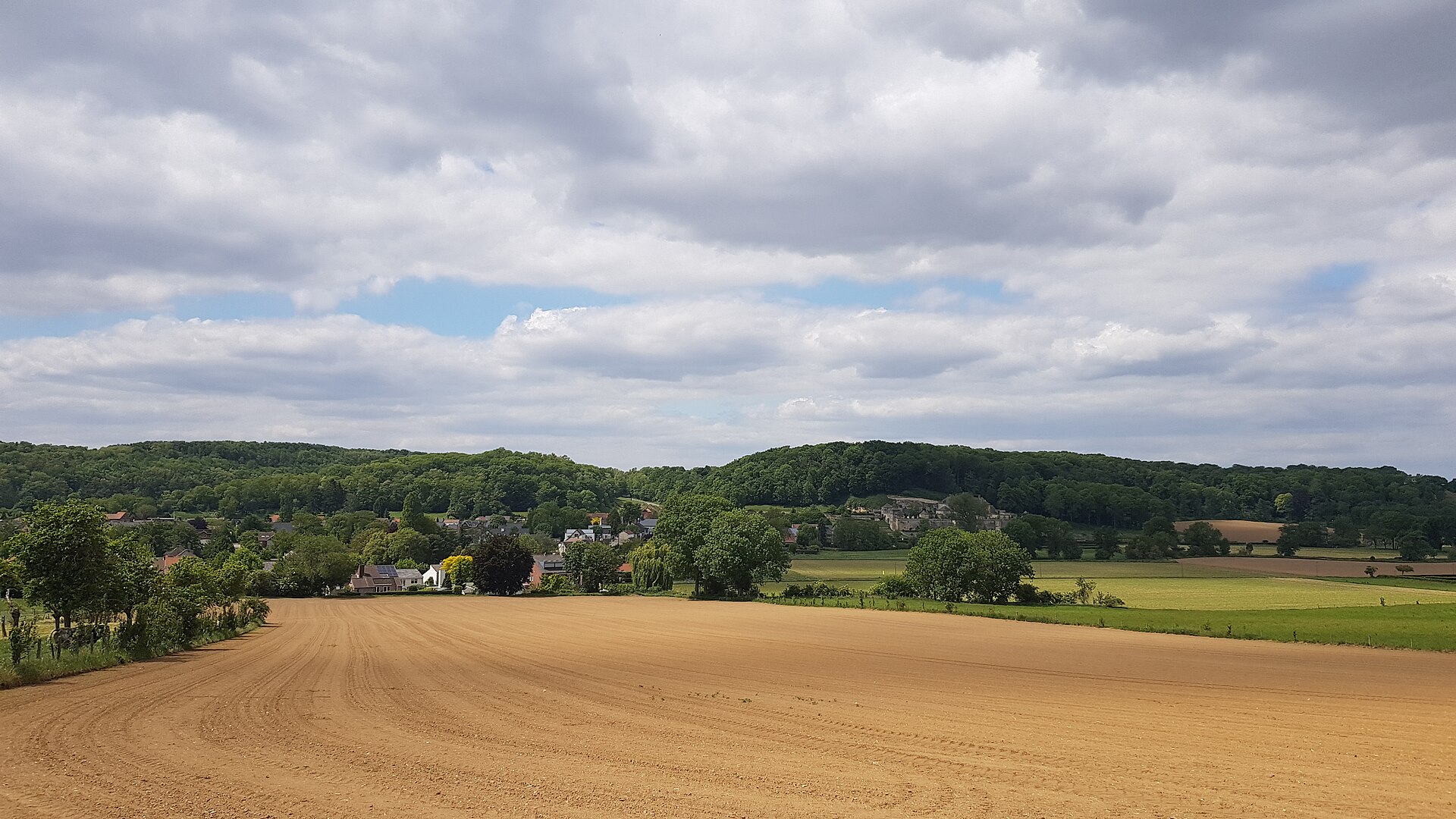
About this place
Cannerberg is a hill on the southern edge of Maastricht, straddling the border between the Netherlands and Belgium, in the Jeker valley opposite the Sint-Pietersberg. The hill takes its name from Kanne, a Belgian village lying just across the border. It rises to roughly 125 metres above sea level with a prominence of about 40 metres — not an imposing peak in terms of height, but a distinctive feature of the landscape right at the meeting point of two countries.
How was the Cannerberg formed?
Geologically, the hill is made of marl, a soft sedimentary rock typical of the Limburg region. The ridge is essentially an offshoot of the Haspengouw Plateau, which extends further into Belgium. Centuries of marl quarrying left behind an underground network of tunnels, shafts, and water channels, traces of historic mining that still shape the hill's interior today.
Why was the hill cut in two?
Between 1930 and 1939, part of the Cannerberg was excavated for the construction of the Albert Canal, which connects Liège with Antwerp. This work severed the ridge from the larger plateau, giving the hill its present, more isolated shape. The canal now marks the border at this point between Dutch and Belgian territory.
What did the Cannerberg hide during the Cold War?
The hill gained particular significance in the 20th century when a secret NATO headquarters was built inside it: the Joint Operations Centre (JOC), also known as NATO Headquarters Cannerberg. Covering around 25,000 square metres and hidden behind the Château Neercanne, the complex operated from 1958 to 1992 as a communications and command centre. It housed the war headquarters of the Northern Army Group and the Second Allied Tactical Air Force, key NATO structures responsible for the defence of central Europe. NATO left the site in 1992 after the Cold War ended, and the underground tunnels have since been remediated and restored. Today the complex is open for guided tours, making it a unique testimony to the region's military history.
What traces of early settlement have been found on the hill?
The Cannerberg is also archaeologically significant. In the summer of 2013, a major excavation campaign uncovered the layout of a late Bandkeramik settlement, along with traces of Iron Age occupation. These findings show the area was inhabited thousands of years before modern Maastricht existed, its gentle slopes long attracting people in search of fertile land and access to water.
What can visitors see on the hill today?
Today the eastern slope of the Cannerberg is covered by the Cannerbos forest, while since 2000 the Millenniumbos, planted to mark the new millennium, has been growing on the southern slope. The hill thus layers several eras of history: from prehistoric settlement, through industrial marl quarrying and canal construction, to secret military tunnels and a present-day green recreational space right on the border of two countries.
Frequently asked questions
Where exactly is the Cannerberg located? South of Maastricht city centre, on the border of the Netherlands and Belgium, opposite the Sint-Pietersberg.
Can visitors tour the former NATO headquarters inside the hill? Yes, the former Cannerberg complex is open to the public through guided tours.
What is on the surface of the hill today? The Cannerbos and Millenniumbos forests, forming a walking and recreational area.
Nearby places

Earn badges for the places you visit
Download NextOnTrip, discover new places and check off your trails.