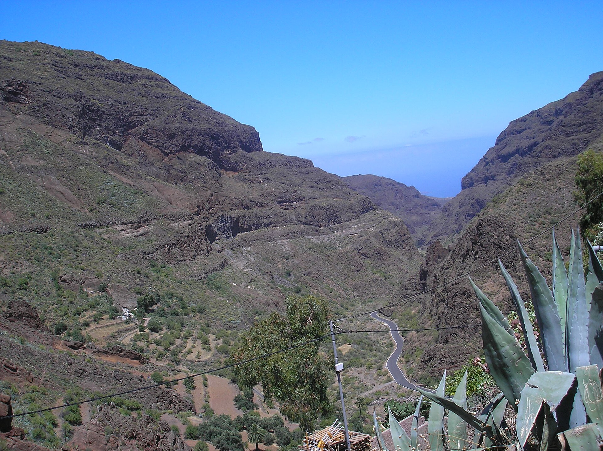
About this place
Barranco de Guayadeque is a ravine-type valley on the island of Gran Canaria, in the province of Las Palmas, Spain. It stretches across the boundary of two municipalities — Ingenio and Agüimes — and this administrative split is one of the first things worth knowing before a visit, since depending on which section of the ravine you're in, you may formally be within a different local authority, even though the landscape itself forms one continuous valley.
Where exactly is the ravine located?
Barranco de Guayadeque sits in the eastern part of Gran Canaria, one of the islands of the Spanish Canary Islands archipelago. Its approximate coordinates are 27.93°N, -15.46°W, marking the area around which the whole ravine system extends. The Spanish word "barranco" itself means ravine or gully — a valley shaped by erosion — which fits the character of this location: an elongated, deeply cut valley typical of the volcanic Canary Islands, where hard volcanic rock has been carved by water and time.
Why does the municipal boundary matter?
The fact that Barranco de Guayadeque spans both Ingenio and Agüimes is more than an administrative curiosity. It means that infrastructure, signage, or access points to the ravine can fall under the responsibility of different local authorities depending on which side of the valley you're on. For travelers planning a route, this is worth keeping in mind — it's useful to check local tourist information from both municipalities, since each may highlight a different stretch or a different set of viewpoints along the ravine.
What should you know before visiting?
Given its location on Gran Canaria, Barranco de Guayadeque fits into the island's characteristic landscape — mountainous terrain cut through by numerous ravines that have shaped how people moved through and settled the island's interior for centuries. Ravines of this kind on Gran Canaria function as natural corridors linking the coast with the higher inland areas, and Barranco de Guayadeque, straddling Ingenio and Agüimes, forms one such natural link in the eastern part of the island.
Frequently asked questions
Which island is Barranco de Guayadeque on? The ravine is located on Gran Canaria, in the province of Las Palmas, Spain.
Which municipalities does it belong to? The valley extends across two municipalities: Ingenio and Agüimes.
What does "barranco" mean? It's the Spanish word for a ravine or gully — a valley shaped by erosion, typical of the terrain found across the Canary Islands.
What are the exact coordinates of this location? The geographic coordinates are approximately 27.93°N, -15.46°W, in the eastern part of Gran Canaria.
Nearby places

Earn badges for the places you visit
Download NextOnTrip, discover new places and check off your trails.