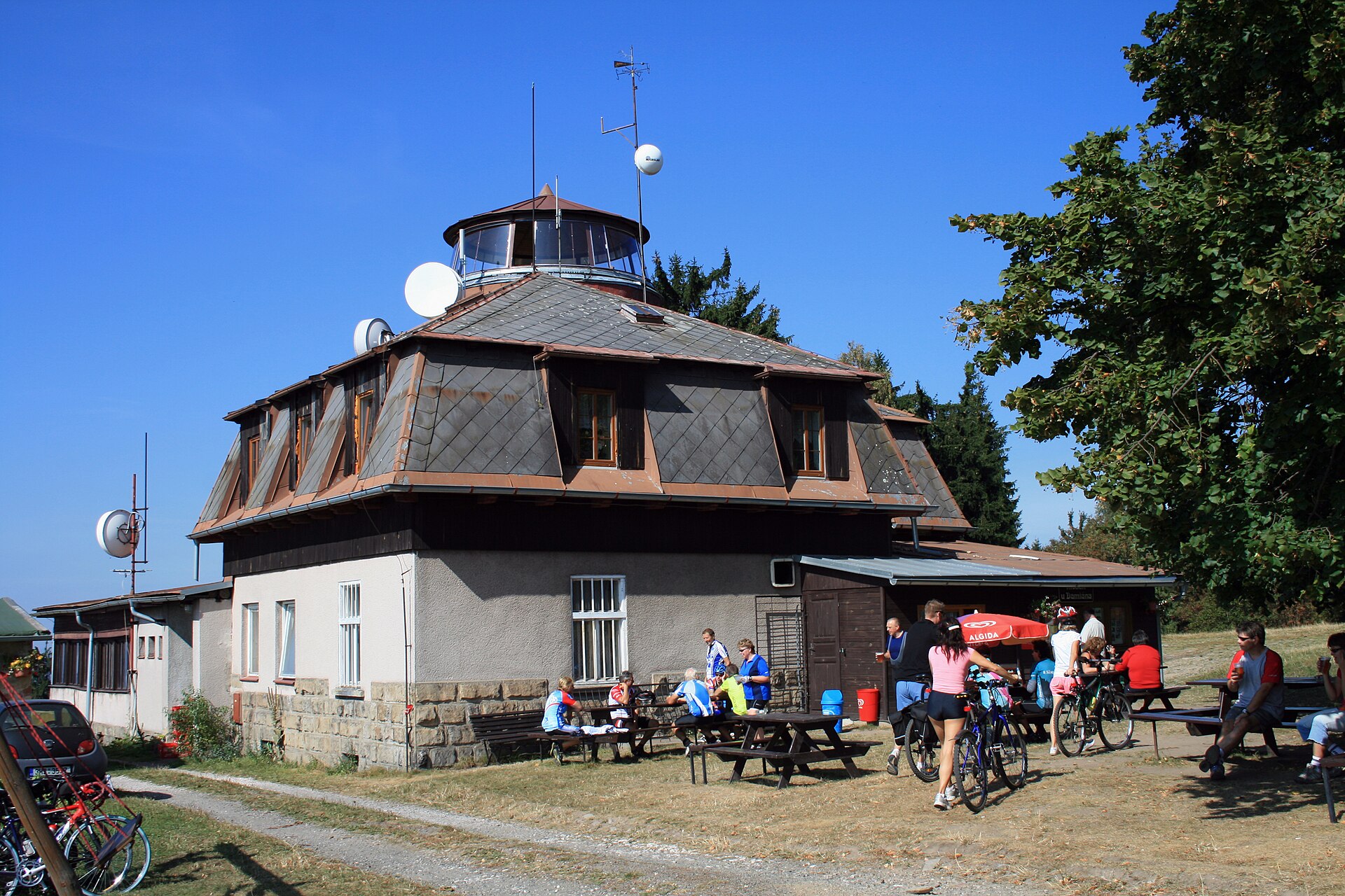
About this place
Zvičina is a summit in the village of Zvičina, part of Třebihošť in the Czech Republic — the highest point of the Zvičinsko-Kocléřovský ridge, rising to 671 metres above sea level.
Where is Zvičina located?
The peak sits roughly half a kilometre east of the village of Zvičina itself, within the boundaries of Třebihošť. This places it in the northeastern Czech Republic, an area of gentle hills that gradually separate lower farmland from the more mountainous terrain further north. Its coordinates are approximately 50.4547°N, 15.6958°E, in a region known for quiet, rolling agricultural and forested landscapes rather than dramatic peaks.
What makes this summit notable?
Zvičina is the highest point of the Zvičinsko-Kocléřovský ridge, a modest range that doesn't rival the height of better-known Czech mountain groups nearby, but has its own character precisely because of that. Ridges of this kind commonly serve as local landmarks and walking destinations for residents of the surrounding villages — their moderate elevation means reaching the top doesn't require special preparation, while still rewarding visitors with views extending beyond the immediate area.
The summit takes its name from the neighbouring settlement of Zvičina, with which the area is closely tied both administratively and geographically. Třebihošť, the village within whose boundaries the ridge's high point lies, is a small community typical of this part of the Czech Republic — quiet, surrounded by fields and woodland, away from heavier tourist traffic.
What is the surrounding landscape like?
The countryside around Zvičina is characteristic of the northeastern Czech Republic: undulating hills interspersed with farmland and patches of forest, dotted with small, scattered villages. This kind of terrain is well suited to walking and cycling, though it's worth keeping in mind that this is a rural area without extensive tourist infrastructure — visitors should expect a limited number of services on site and plan a longer outing accordingly.
For those looking for quiet and contact with nature rather than crowded trails, the area around Zvičina can be an interesting alternative to busier mountain regions. At 671 metres above sea level, the summit is accessible to most visitors regardless of fitness level.
When is the best time to visit?
As with most rural areas in this part of Central Europe, the best time to visit runs from late spring through early autumn, when the weather favours longer walks and the surrounding fields and forests are at their greenest. It's worth checking local weather conditions before setting out, especially if planning a longer walking route around the ridge.
Frequently asked questions
How high is Zvičina? The summit rises to 671 metres above sea level and is the highest point of the Zvičinsko-Kocléřovský ridge.
Where exactly is the summit located? It lies about half a kilometre east of the village of Zvičina, within the boundaries of Třebihošť, in the northeastern Czech Republic.
Is this a popular tourist destination? It's a quiet, rural area without extensive tourist infrastructure — more appealing to those seeking peace and nature than to visitors looking for crowded attractions.
Is the climb to the summit difficult? At 671 metres above sea level, the route is accessible to most visitors regardless of fitness level.
Nearby places

Earn badges for the places you visit
Download NextOnTrip, discover new places and check off your trails.