About this place
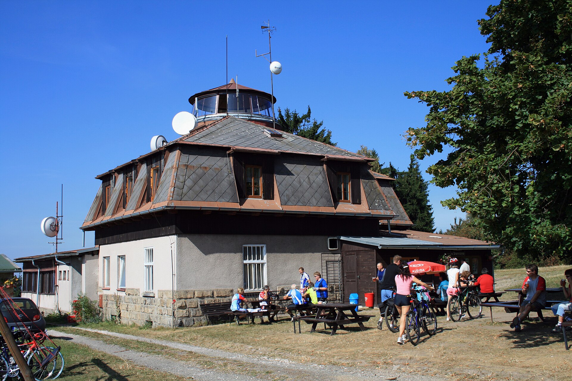
Chlum is a wooded hill rising to 450 metres above sea level near the village of Šárovcova Lhota in the Jičín district of the Hradec Králové Region, Czech Republic. It is the highest point of the entire Hořický hřbet ridge, and specifically of its sub-unit known as Hořický chlum — the summit sits right where the cadastral territories of three villages meet: Šárovcova Lhota, Holovousy and Chlum u Hořic.
Where exactly is the hill, and how do you reach it?
The summit lies roughly 1.5 km south-southeast of the centre of Šárovcova Lhota, a small village on the Javorka stream, tucked on the hill's northern foothills a few kilometres from the spa town of Lázně Bělohrad. By car, the closest you can get is the hamlet of Chloumky, from where a footpath continues to the top. A red-marked hiking trail runs along the whole ridge on the Libín–Hořice route, and on the eastern section it crosses yellow and green trails, making it easy to plan a longer loop hike with views instead of doubling back.
Why does this hill stand out from the surrounding landscape?
Geomorphologically, Chlum belongs to the Jičín Foothills (Jičínská pahorkatina), and within that to the Bělohrad Foothills sub-unit (Bělohradská pahorkatina). As the highest point of the Hořický hřbet ridge, it clearly dominates the gentler terrain around it — its prominence above the nearest saddle, to the southeast toward Tetín, is about 103 metres, a notable figure for this kind of foothill landscape and the reason the views from the summit and ridge rank among the best in the area. The hill is built of sandstone interlayered with gravel, and it also forms a local watershed: streams flow off its slopes into both the Javorka and the Bystřice, two tributaries of the Cidlina river.
What's worth knowing about Šárovcova Lhota at the foot of the hill?
Šárovcova Lhota, the village lying at the hill's northern foot, was first recorded in written sources in 1551. The municipality also includes the hamlet of Libín, situated directly on the slope of Hořický chlum, where a single-storey timber building has survived — between 1916 and 1918 it was used to store important documents connected with T. G. Masaryk, later the first president of Czechoslovakia. It is one of the few tangible historical traces in this otherwise quiet, agricultural corner of the region.
Frequently asked questions
How high is the Chlum hill near Šárovcova Lhota? It rises to 450 metres above sea level and is the highest point of the entire Hořický hřbet ridge.
Where's the best starting point for hiking to the summit? The most convenient approach is by car to the hamlet of Chloumky, followed by a footpath on foot to the top.
What marked trails cross this area? A red trail runs the length of the ridge on the Libín–Hořice route, joined on its eastern section by yellow and green trails.
Is there anything historically notable nearby? Yes — in the hamlet of Libín, on the hill's slope, stands a timber building that was used during the First World War to store documents connected with T. G. Masaryk.
Does this Chlum have any connection to the 1866 Battle of Königgrätz/Hradec Králové? No — the historical battlefield from July 1866 lies near the village of Chlum by Všestary, considerably further east, in a different part of the Hradec Králové Region. It's simply a coincidence of naming, common in the Czech Republic, where "chlum" (a wooded hill) is one of the most frequent elements in place names.
Nearby places

Earn badges for the places you visit
Download NextOnTrip, discover new places and check off your trails.