About this place
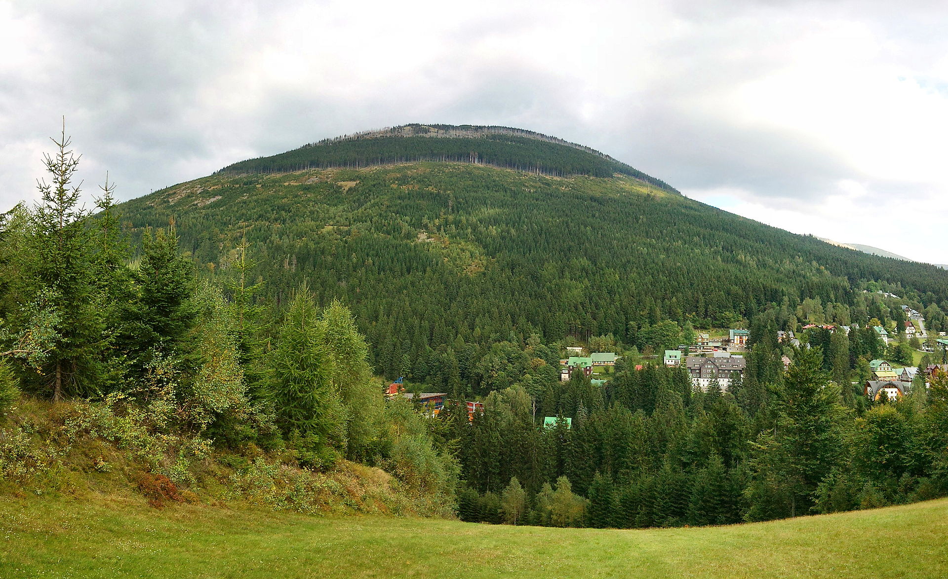
Železný vrch is a rocky peak in the Krkonoše (Giant Mountains) rising above Špindlerův Mlýn at 1,321 metres above sea level. It forms the westernmost end of the Kozí hřbety ridge, which stretches out from Luční hora, and belongs to that category of Krkonoše summits admired more often from a distance than actually stood upon.
Where exactly is Železný vrch?
The peak sits roughly 2 km northeast of central Špindlerův Mlýn, right in the heart of the Krkonoše National Park. The ridge it caps is unusually narrow at the top, and its flanks drop away steeply on almost every side, with elevation differences of 400–500 metres. Only the eastern slope descends more gently. To the north lies the White Elbe (Bílé Labe) valley, and to the south the Saint Peter's valley. That contrast between a mellow eastern approach and sheer northern and southern faces gives the summit an almost alpine profile that's unusual for the Krkonoše range.
What will you see at the top?
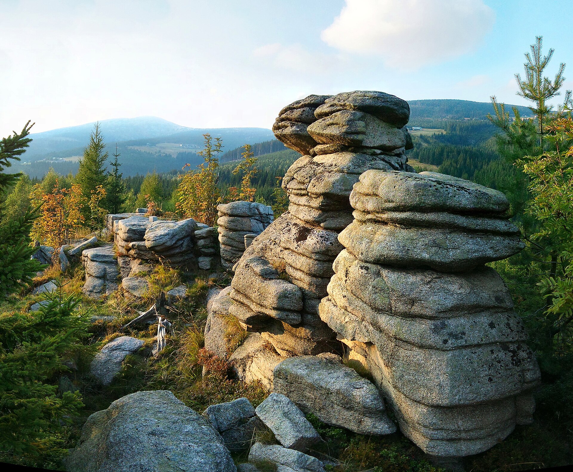
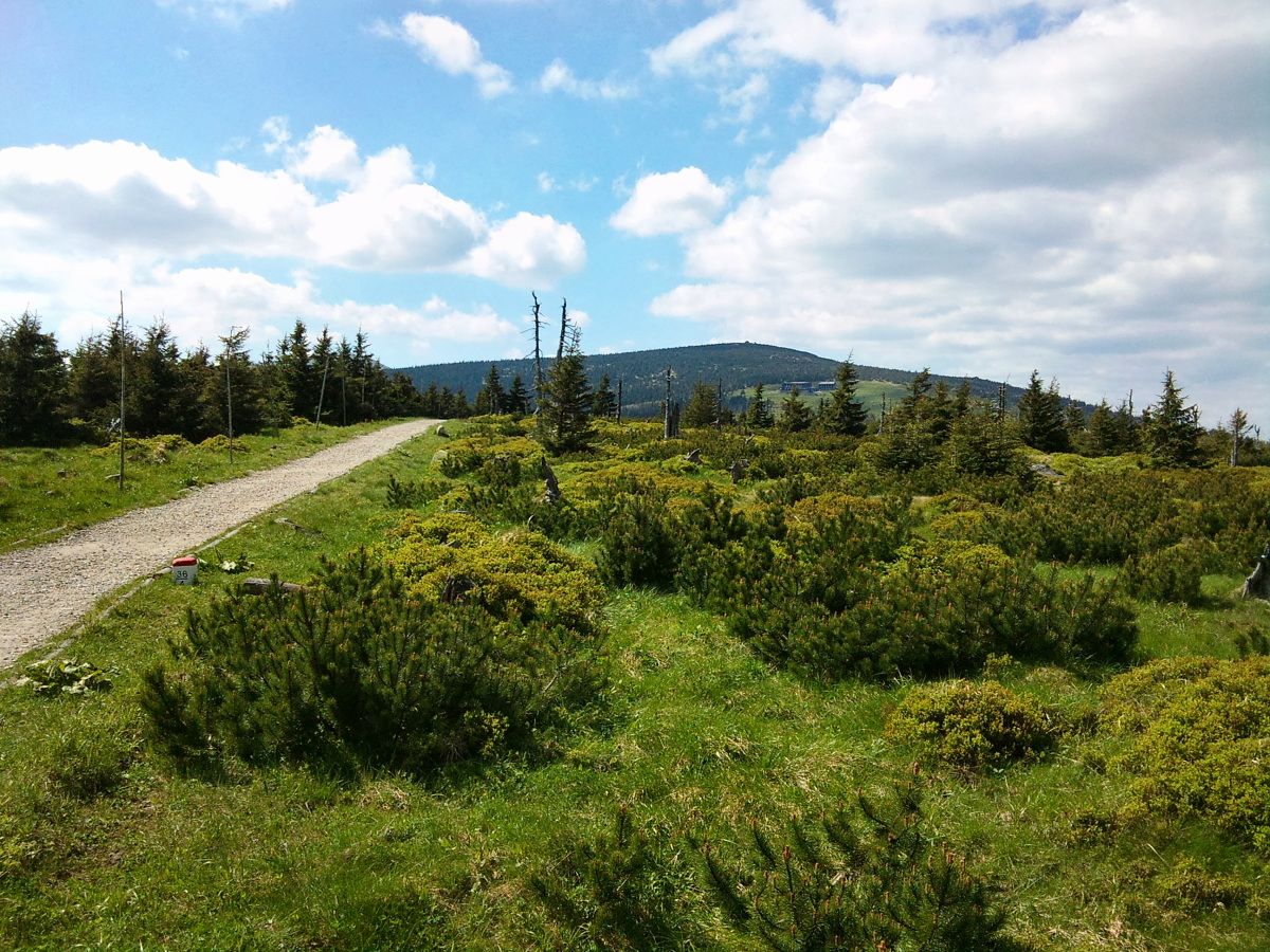
The upper slopes are covered in dwarf mountain pine, giving way lower down to spruce forest. Rocky outcrops punctuate the ridgeline, and extensive boulder fields spread across the southern slopes — the legacy of frost weathering typical of the highest parts of the Krkonoše. A geodetic survey point marks the very summit. Thanks to its narrow, elevated shape, Železný vrch offers a wide, all-around panorama: neighbouring ridges, the valleys flanking the massif on both sides, and further stretches of the western Krkonoše come into view.
How do you get to Železný vrch?
Here's an important caveat: the summit lies within the quiet zone of the Krkonoše National Park, meaning off-trail movement is prohibited. There's no official trail leading straight to the top — the area is protected because of its fragile high-mountain ecosystems and bird nesting sites. The best way to approach the massif is to set out from Špindlerův Mlýn on the marked trail heading toward the Kozí hřbety mountain shelter; from there you already get good views of Železný vrch and the surrounding ridge without having to enter the protected zone.
When should you visit?
Late spring through early autumn — roughly May to October — is the best window for hiking in this part of the Krkonoše, once the trails are clear of snow and the views over the rocky ridges and valleys are at their sharpest. In winter the terrain around the peak can turn hazardous, with snowdrifts and avalanche risk on the steep slopes, so it's wiser to stick to the lower, well-marked valley routes during that season.
Frequently asked questions
Can you actually climb Železný vrch? Not fully — the summit area lies within the national park's quiet zone, where leaving marked trails is forbidden. You can, however, approach it closely on the trail from Špindlerův Mlýn.
How high is Železný vrch? The peak reaches 1,321 metres and forms the western end of the Kozí hřbety ridge.
How far is it from Špindlerův Mlýn to the area near the summit? The straight-line distance is about 2 km, but given the steep terrain and the need to stay on designated trails, actual hiking time depends on the chosen route — plan for a few hours for a relaxed round trip.
What's worth seeing along the way? Heading toward Kozí hřbety, you pass through classic Krkonoše scenery: spruce forest transitioning into dwarf pine, rocky outcrops, and views over the White Elbe and Saint Peter's valleys.
Nearby places

Earn badges for the places you visit
Download NextOnTrip, discover new places and check off your trails.