About this place
Vysoký Rykali is a forested summit in the Moravian-Silesian Beskids, straddling the border between the municipalities of Krásná and Morávka — a destination for hikers after a quiet ridge walk rather than a scenic payoff.
Where is Vysoký Rykali and how high is it?
The summit reaches 912 m above sea level and sits in the Frýdek-Místek district, on the cadastral border between Krásná and Morávka, in the Czech region of Cieszyn Silesia. It lies on the ridge running from the Travný massif (1,203 m), about 3.5 km to the southeast of that peak, within the Moravian-Silesian Beskids range. Its coordinates are approximately 49.533°N, 18.529°E.
What does the summit itself look like?
The top is entirely wooded, so it offers no panoramic view — a common picture across much of this stretch of ridge in the Beskids. The only features on the actual summit are a geodetic (triangulation) point and a wooden sign giving the peak's name and elevation. Aside from a forestry track, there is no tourist infrastructure here at all.
Is there a marked trail to the top?
No marked hiking trail leads directly to the summit — it can only be reached via an unmarked forestry track or without a set path. About 150 m to the west of the top, however, runs a green-marked KČT trail connecting the settlement of Visalaje (roughly 2 km away) toward Travný, with branches heading toward Plato — both to Zlatník and to Travný itself. This green trail is the most convenient starting point for anyone heading toward Vysoký Rykali.
What lies near the summit?
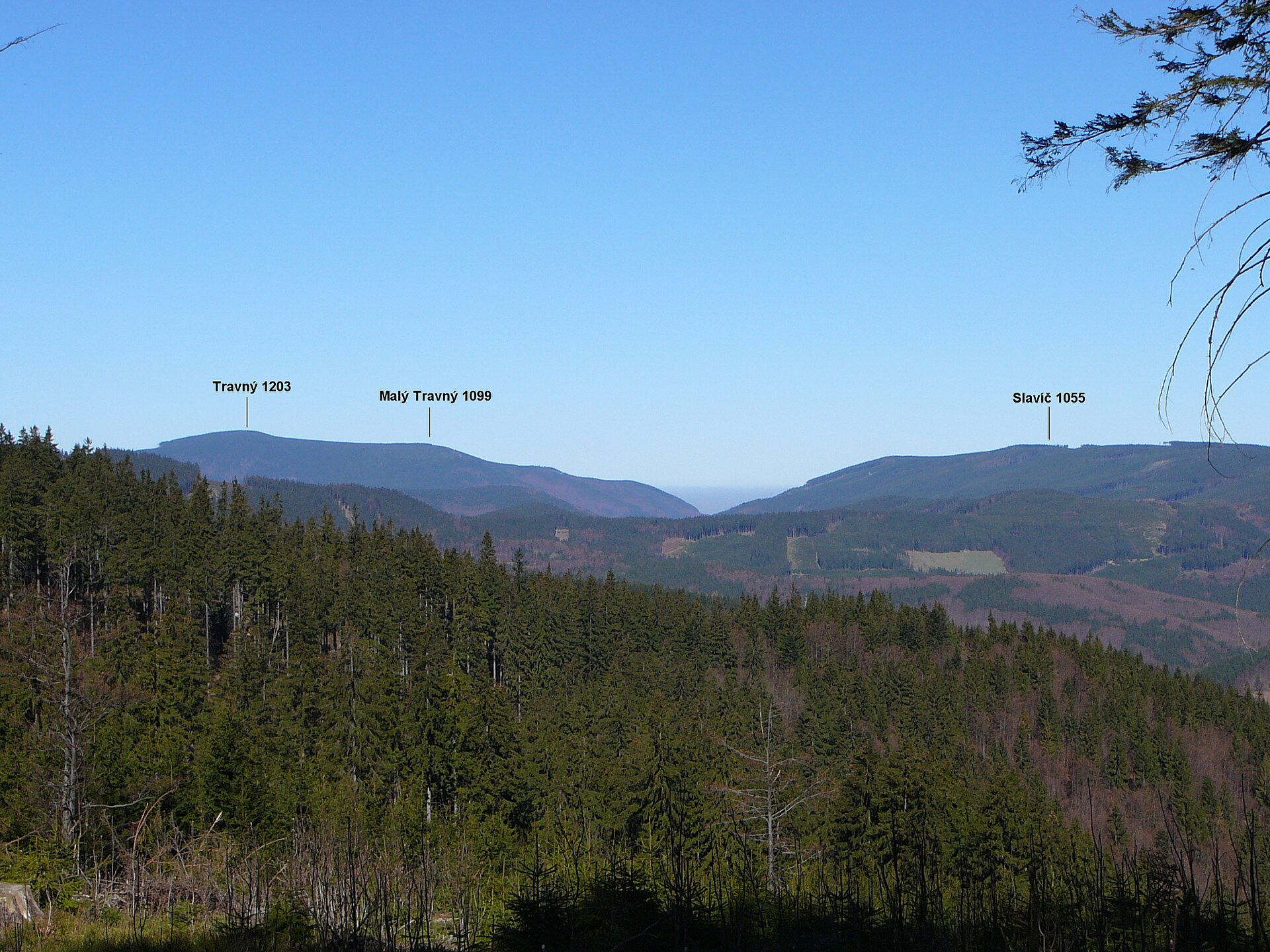
Travný (1,203 m) rises to the north and serves as the natural reference point for the whole ridge. In the wider area, Lysá hora (1,323 m) dominates as the highest peak of the entire Moravian-Silesian Beskids range. Nearby are also the Visalaje settlement, with its tourist facilities, and the Zlatník ski area, both popular with visitors to this part of the Beskids year-round.
Who is this trip for?
Vysoký Rykali suits hikers who enjoy quiet, forested ridgelines without expecting a view at the finish — the summit stays fully wooded despite clearing 900 m. Rather than a standalone hike to the top, it works best as one point along a longer ridge route, for instance as part of the green-marked trail between Visalaje and Travný.
Frequently asked questions
How high is Vysoký Rykali? The summit stands at 912 m above sea level, on the border between the municipalities of Krásná and Morávka in the Moravian-Silesian Beskids.
Is there a marked trail to the summit? No — no marked trail leads to the very top. The nearest one, a green-marked KČT trail, passes about 150 m to the west, connecting Visalaje with Travný.
What can you see from the top? Nothing in particular — the summit is fully forested and offers no open view. It only holds a triangulation point and a wooden sign with the peak's name and elevation.
Which peaks lie nearby? Travný (1,203 m) rises to the north, while Lysá hora (1,323 m), the highest peak in the Moravian-Silesian Beskids, dominates the wider area.
Where's the best starting point for Vysoký Rykali? The most convenient approach is from the Visalaje settlement (about 2 km away), following the green trail toward Travný and then continuing without a marked path or via a forestry track to the summit itself.
Nearby places

Earn badges for the places you visit
Download NextOnTrip, discover new places and check off your trails.