About this place
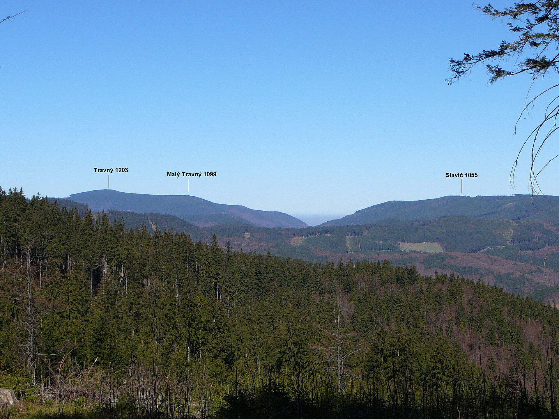
Sławicz (Slavíč) is a forested summit on a western side ridge of the Ropice range in the Moravian-Silesian Beskids, rising east of the Morávka reservoir — a destination better suited to ridge hikers than to viewpoint seekers.
Where is Sławicz and how high is it?
The summit reaches 1,056 m above sea level and lies in Czech Silesia, in the municipality of Morávka, Frýdek-Místek district. It sits on a side, western branch of the Ropice range, part of the Moravian-Silesian Beskids, east of the Morávka water reservoir. Its coordinates are approximately 49.569°N, 18.588°E.
What makes Sławicz stand out among nearby peaks?
Sławicz is one of the higher points around Morávka, clearing the thousand-metre mark — which puts it on Czech "thousander" lists and within the hiking challenge known as the Crown of the Moravian-Silesian Beskids, covering the range's key summits. The top itself is fully wooded and views from it are limited, a typical picture for many peaks in this part of the Beskids, where forest reaches all the way up the ridge. The same Morávka area is also home to other nearby summits covered here, such as Čupel and Velký Lipový, making this stretch of the Moravian-Silesian Beskids a dense network of ridge-hiking destinations.
What tourist infrastructure is nearby?
There is no marked trail leading to the very top of Sławicz — only unmarked forest paths reach the summit itself. The picture is different on the eastern side of the massif, where a tourist lodge (Sławicz chalet) was built after 2019. Marked red and blue trails already run around it, and it's also where the Wolfram – Morávka educational trail, dedicated to the area's local history and nature, comes to an end. It's this lodge, rather than the bare summit, that serves as the natural destination for most visitors.
How do you get to the top?
Sławicz can be reached from two main directions: from the tourist lodge (roughly 3 km along an unmarked path) or from the Morávka reservoir side (about 4 km). Since no clearly marked trail leads exactly to the summit, a trip to Sławicz works best as part of a longer ridge hike along the Ropice range rather than as a standalone, easily planned day trip.
Who is this trip for?
Sławicz suits hikers who value forest quiet and a ridge walk over a scenic payoff at the top — despite clearing 1,000 metres, the summit itself offers no wide panorama. Visitors looking for a clear-cut destination with facilities are better served by the eastern side of the massif, with its lodge and network of marked trails.
Frequently asked questions
How high is Sławicz? The summit stands at 1,056 m above sea level, on a side, western branch of the Ropice range in the Moravian-Silesian Beskids.
Is there a marked trail to the top of Sławicz? Not to the summit itself — only unmarked forest paths reach it. Marked red and blue trails do run around the tourist lodge on the eastern side of the massif.
Where exactly is Sławicz relative to the Morávka reservoir? The summit rises east of the Morávka water reservoir, about 4 km from its shore.
Is there a mountain lodge near Sławicz? Yes — a tourist lodge was built on the eastern side of the massif after 2019, and it's also where the Wolfram – Morávka educational trail ends.
Is it worth hiking to the actual summit? The summit is fully forested with limited views — most visitors will find the eastern side of the massif, with its lodge and marked trails, more rewarding.
Nearby places

Earn badges for the places you visit
Download NextOnTrip, discover new places and check off your trails.