Save this place and discover nearby attractions with NextOnTrip
In the app you can add it to your favorites, see what else is worth visiting nearby on the map, and earn a badge for your visit.
The app is available for iPhone and Android.
About this place
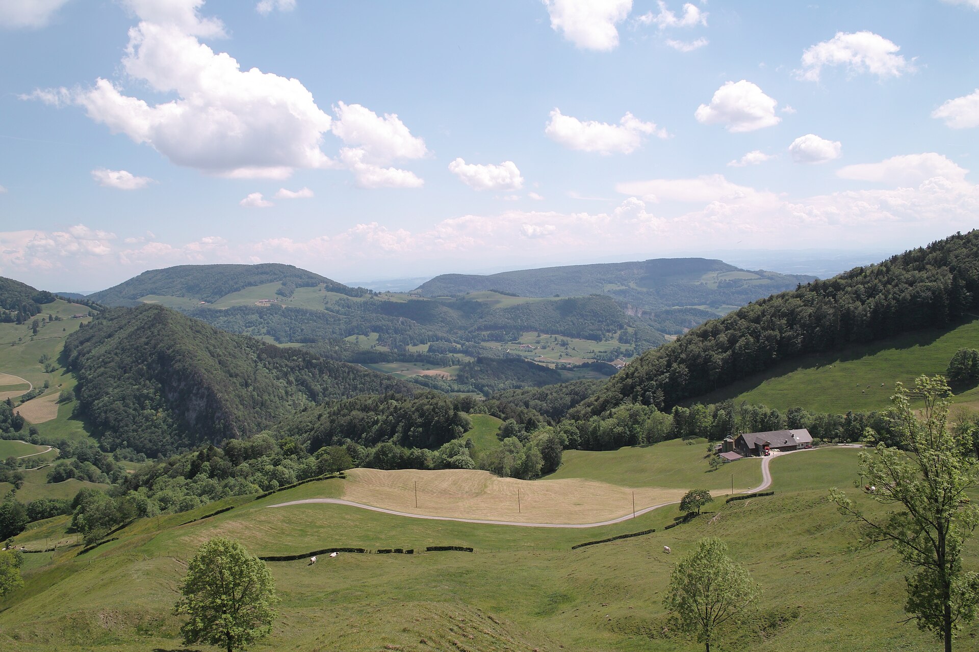
Thal Nature Park (German: Naturpark Thal) is a regional nature park in the Swiss canton of Solothurn, bordering the cantons of Bern and Basel-Landschaft. It lies in the Solothurn Jura and links the wide valley of the river Dünnern with high mountain ridges. Balsthal is the largest municipality in the park and is home to its information office. It is a good choice for a quiet mountain outing away from the crowds of the better-known Alpine resorts.
Where is Thal Nature Park and what is it?
The park covers the Dünnern valley behind the Weissenstein mountain range. Switzerland's FOEN designated it a "park of national importance", a label valid for ten years from its instatement on 1 January 2010, with the designation confirmed in 2012. Its coordinates are roughly 47.32° N, 7.67° E.
What is there to see in the park?
The main draws are viewpoints, hiking and cycling routes, castle ruins and themed trails.
- Viewpoints: Wasserfallen, Balmberg and Hinterer Weissenstein are the lookouts most often recommended. Hinterer Weissenstein, at 1,395 m above sea level, is the highest peak in the park.
- Themed trails: the Holzweg Thal (a wood-themed trail), the Wolf Gorge Trail, La Route verte and the Jura Trail Thal. A geological trail at Gänsbrunnen shows the rock layers of the region.
- History and culture: the valley has local museums and castle ruins. The castles and ruins of Balsthal stand guard over the entrance to the valley.
- Wildlife: near Welschenrohr, close to the Wolf Gorge, a project to reintroduce the European bison is under way.
What are the hiking and cycling options like?
The demanding option is the high-altitude route from Balsthal to Weissenstein, covered on foot or by mountain bike. It is about 21 km long and involves a long climb, so it calls for good fitness. Easier options include the shorter themed trails in the valley, which also suit a family walk.
How do you get there?
From Solothurn it takes about 25 minutes via the Weissenstein tunnel. In summer, on Sundays and public holidays, the NaturparkBus runs, making it easier to reach trailheads without a car. You can get information on the park at the office in Balsthal.
Frequently asked questions
Where is Thal Nature Park? In the canton of Solothurn, Switzerland, next to the cantons of Bern and Basel-Landschaft.
What is the highest peak in the park? Hinterer Weissenstein, at 1,395 m.
Which is the largest municipality? Balsthal, which also hosts the information office.
Can I get there by public transport? Yes, the NaturparkBus runs on Sundays and public holidays in the summer season. From Solothurn, the drive through the Weissenstein tunnel takes about 25 minutes.
What can I do with children? Pick one of the themed trails, such as the Holzweg Thal, or visit the museums in the valley. The bison reintroduction project near Welschenrohr is another interesting stop.
Does the park have official status? Yes, it is recognised as a park of national importance, with the label valid for ten years from 1 January 2010.
Nearby places

Earn badges for the places you visit
Download NextOnTrip, discover new places and check off your trails.