Save this place and discover nearby attractions with NextOnTrip
In the app you can add it to your favorites, see what else is worth visiting nearby on the map, and earn a badge for your visit.
The app is available for iPhone and Android.
About this place
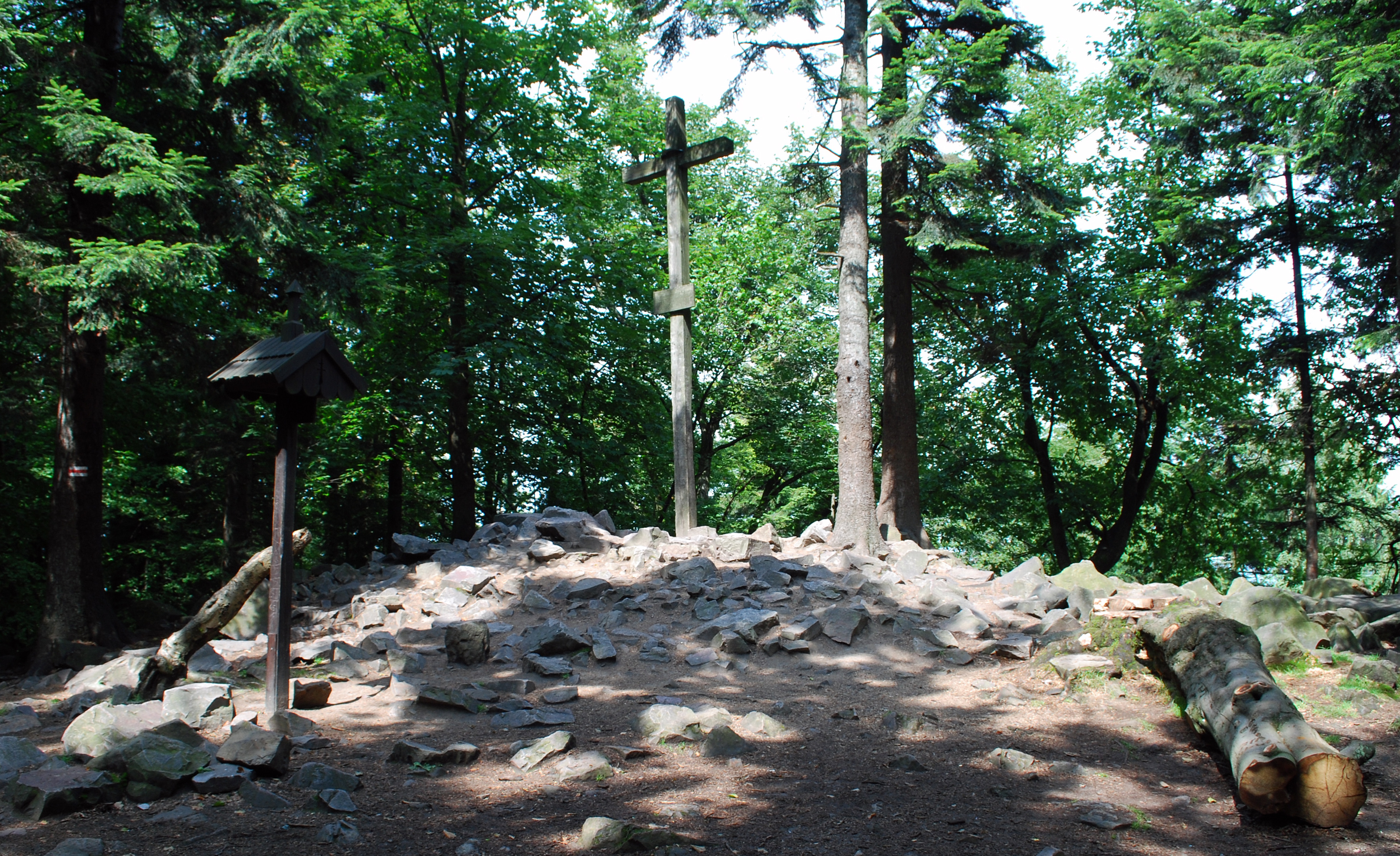
Szczyt Łysica (Mount Łysica) is the highest peak of the Świętokrzyskie (Holy Cross) Mountains in central Poland. At roughly 614 m above sea level, it rises above the village of Święta Katarzyna in the western part of the Łysogóry range and is part of the Crown of Polish Mountains. It is also known as St. Catherine's Mountain, and it makes a rewarding goal if you want to stand on the top of a whole region without any technical gear.
Where is Łysica?
The mountain lies inside Świętokrzyski National Park, in the Bodzentyn municipality of the Świętokrzyskie Voivodeship. The nearest village is Święta Katarzyna, which is also where the shortest approach begins. The park has its own visiting rules, so check beforehand whether an entrance ticket applies and what the trail access conditions are.
Why does it have two summits?
Łysica has two peaks. The western one reaches about 613 m. The eastern one, called Skała Agaty (Agatha's Rock) or Zamczysko, reaches about 614 m and is the highest point of the entire range. Sources differ by a few metres because measurements are not always consistent, so different maps may show slightly different numbers.
What is the mountain made of?
The massif is formed mainly of quartzite and slate. On the northern and southern slopes you can see gołoborza, or stone runs: bare fields of rock with no vegetation, typical of the Holy Cross Mountains. They look like a river of stones flowing down the hillside and are among the main natural attractions of the area. They are great for photos, but stay strictly on the marked paths.
How do you hike to the top?
The most popular route starts in Święta Katarzyna. The section is about 2 km long and runs through a fir and beech forest, so even on hot days most of the walk is in shade. The climb is noticeable but does not demand serious fitness. From Łysica you can easily build the Łysogóry loop by combining it with other park trails. Paths are colour-coded, and one of them is the red trail along the main ridge.
What is the history of the place?
Łysica and neighbouring Łysa Góra have long been tied to belief systems, first pagan and later Christian. At the foot of the mountain stands a monastery, on a site that, according to tradition, may have been a pagan temple before the Christianisation of Poland. That gives the walk a cultural dimension as well as a scenic one.
When is the best time to go?
In spring and summer the forest is green and shady, in autumn the beech trees change colour, and in winter the trail can be slippery, so proper footwear helps. Mornings are quieter, especially at weekends and during school holidays. Bring water, a warm layer and a charged phone with an offline map.
Frequently asked questions
How tall is Łysica? The highest point, Skała Agaty (Zamczysko), is about 614 m above sea level. The western summit is about 613 m.
Is Łysica the highest mountain in the Holy Cross Mountains? Yes, it is the highest peak of the whole range and part of the Crown of Polish Mountains.
How long does the hike from Święta Katarzyna take? The route is about 2 km. At a relaxed pace it usually takes a little over an hour, depending on fitness and breaks.
Are there stone runs on Łysica? Yes, on the northern and southern slopes of the massif. Please do not leave the trail.
Is entry paid? The summit lies in Świętokrzyski National Park, which may charge an entrance fee. Check the park's website for current details.
Nearby places

Earn badges for the places you visit
Download NextOnTrip, discover new places and check off your trails.