About this place
Studená is a hill rising to 625–626 metres above sea level, the highest point in the Přerov District, part of the Oderské vrchy (Odry Hills) range in Moravia, in the Olomouc Region of the Czech Republic.
Where exactly is Studená?
The hill sits close to the hamlet of Středolesí, roughly 5 kilometres from the small town of Potštát and 4 kilometres from the village of Radíkov. This is a quiet, lightly visited corner of the Odry Hills — a range of modest, mostly wooded elevations north of the Bečva valley, generally seeing far less tourist traffic than the nearby Moravian Karst.
What does the summit itself look like?
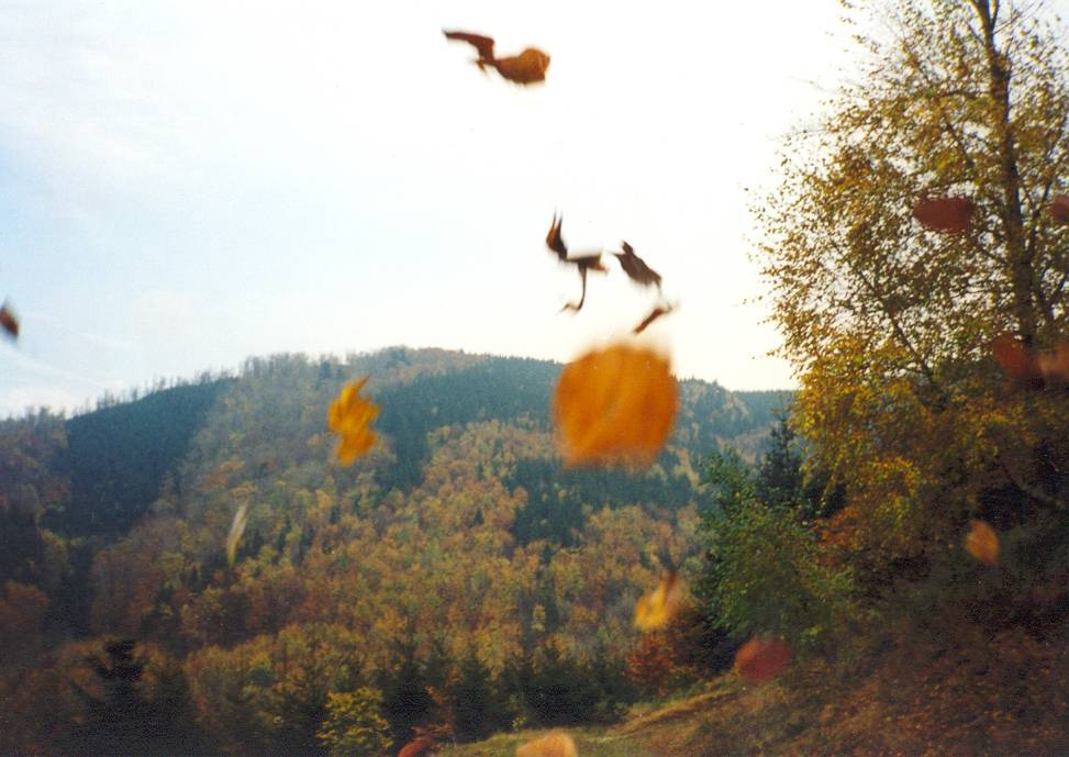
Unlike many of its neighbours in the Odry Hills, Studená's summit is not forested — the upper slopes have long been used as farmland. A paved access road runs close by, and cycling route no. 6060 has been marked right next to it, linking the hill to nearby villages without forcing riders onto busier roads. Because the top is open rather than wooded, clear days offer views over the gently rolling countryside of the surrounding hills.
What's worth seeing nearby?
A few kilometres away, in Potštát, stand the ruins of a medieval castle, one of the more notable historic sites in this part of the Přerov District. The neighbouring village of Radíkov has a golf course, and Potštát itself also hosts a small seasonal ski resort (Ski areál Potštát). Together, the castle ruins, the golf course and the ski slope are the main draw for visitors passing through the area — most people treat Studená itself as a landmark and a stop on a bike ride rather than a destination in its own right.
Is Studená worth a hike or a bike ride?
Thanks to its status as the highest point in the Přerov District, Studená occasionally attracts visitors collecting regional summits, though the hill itself has little dedicated tourist infrastructure — there's no lookout tower and no marked hiking trail leading straight to the top. The most practical way to reach the area is by bike along route 6060, or by the paved access road, followed by a short walk across the open farmland that covers the summit.
Frequently asked questions
How high is Studená? It reaches 625–626 metres above sea level and is the highest point in the Přerov District.
Which mountain range is Studená part of? The Oderské vrchy (Odry Hills), in the Olomouc Region, near the hamlet of Středolesí.
Is the summit forested? No — the top of Studená is open and has long been used as farmland.
How do you get to Studená? Via a paved access road or cycling route no. 6060, which connects the area to Potštát and Radíkov.
What's nearby worth visiting? The castle ruins in Potštát, the golf course in Radíkov, and the seasonal Ski areál Potštát.
Nearby places

Earn badges for the places you visit
Download NextOnTrip, discover new places and check off your trails.