About this place
Maleník is a forested hill rising to 479 metres above sea level, the highest point of the small ridge that bears the same name, above the village of Paršovice in the Přerov District of Moravia, Czech Republic.
Where is Maleník and how high is its summit?
The summit reaches 479 m above sea level and forms the highest point of the entire Maleník ridge, part of the Podbeskydská pahorkatina (Podbeskydy Uplands), which in turn belongs to the Outer Western Carpathians. The peak sits at roughly 49.513°N, 17.677°E, on the left bank of the Bečva river, south of the so-called Bečevská Gate, marking a natural edge of the Moravian Gate. Geologically, the hill is built of Carboniferous shales and conglomerates covered by younger soil deposits.
What is there to see on the slopes?
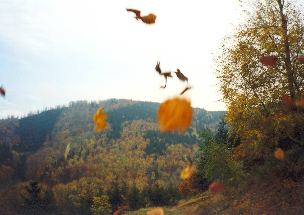
Maleník is almost entirely covered in forest. Near the summit lie two nature reserves, Bukoveček and Dvorčák, protecting valuable natural mixed woodland. Both sites double as research grounds for the Faculty of Forestry and Wood Sciences at Mendel University in Brno, making the ridge a notable spot for forestry science in the region.
The village of Paršovice itself sits in a gentle valley beneath Maleník's forested southern slopes, about 9 km south of Hranice. From the settlement of Rybáře, a green-marked trail crosses a new footbridge over the Bečva and climbs into the massif, running through scenic stretches of woodland shaped partly by nature and partly by generations of forestry work once tied to the Hranice forestry school.
Is there a lookout tower or viewpoint near the top?
A telecommunications mast stands close to the main summit, though no confirmed lookout tower exists on Maleník itself. The ridge nonetheless offers views typical of the edge of the Moravian Gate — from certain spots, the ruins of Helfštýn Castle near Lipník nad Bečvou, one of the region's notable landmarks, can be seen in the distance.
Which administrative area does the hill belong to?
The hill lies within the cadastral territory of Paršovice, in the Přerov District, Olomouc Region, Moravia. The village, tucked under the southern slopes, is the natural starting point for reaching the summit and its surrounding nature reserves.
Frequently asked questions
How high is Maleník? The summit reaches 479 metres above sea level, the highest point of the whole Maleník ridge.
Where exactly is the hill located? On the left bank of the Bečva river, within the cadastral area of Paršovice in the Přerov District, Olomouc Region, Moravia, south of the Bečevská Gate.
What nature reserves lie near the summit? Two: Bukoveček and Dvorčák, protecting natural mixed forest and used as research grounds by Mendel University's Faculty of Forestry and Wood Sciences.
Is there a marked trail to the top? Yes — among others, a green trail leads from the new footbridge over the Bečva at Rybáře into the Maleník massif.
Is there a structure near the summit? A telecommunications mast stands close to the main peak; no confirmed lookout tower exists there.
What rock does the hill consist of? Carboniferous shales and conglomerates, covered by younger soil deposits.
Nearby places

Earn badges for the places you visit
Download NextOnTrip, discover new places and check off your trails.