Save this place and discover nearby attractions with NextOnTrip
In the app you can add it to your favorites, see what else is worth visiting nearby on the map, and earn a badge for your visit.
The app is available for iPhone and Android.
About this place
Spirstock is a mountain in the Ybrig area of canton Schwyz, central Switzerland, close to the village of Illgau and the Ibergeregg pass. It is a gentle summit rather than a mountaineering objective, and its main draw is a wide outlook over two big lakes.
Where is Spirstock?
It stands in the Schwyz Alps, in an area local tourism calls the "mountain world of Ybrig". The slopes fall toward the Sihl valley on one side, while the Schwyz basin and the Mythen massif lie to the west. The highest point of the popular loop from Illgau is 1,766 m above sea level.
What can you see from the top?
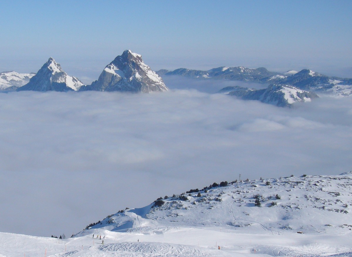
The panorama takes in Lake Lucerne and Lake Zurich, plus the Ybrig region, the Sihl valley and the floor of the Schwyz basin. Earlier on the Illgau route you pass the Sternenegg viewpoint, where the Mythen peaks dominate. At the start of the walk, Fronalpstock and the Muotatal mountains are also in sight.
How do you hike to Spirstock?
The best-known loop begins and ends in Illgau. It covers about 14 km in roughly 4 hours 40 minutes at medium difficulty. The way runs through Vorder Oberberg, Chaltenbrunnen, Eseltritt and Sternenegg to the summit, then returns via Fäderenberg and Unter Zimmerstalden. About 84% is path, 6% trail and 10% is covered by lift.
A shorter option starts at the top station of the Laucheren chairlift. This 12.5 km circuit goes via Fuederegg and Seeblisee, up to Spirstock and on to Ibergeregg, taking around 3 hours 20 minutes. A lift removes much of the climbing. From the summit, the Ybriger 7-Egg-Weg themed trail also leads to the Ibergeregg pass.
How do you get there?
By car, take the A4 to the Schwyz exit, follow signs toward Muotathal and the Ried-Illgau valley station, then continue to Illgau, where there is public parking. By public transport, ride the train to Schwyz-Seewen and bus line 1 to the Ried-Illgau valley station. The Illgau – St. Karl cableway carries hikers up from the village. Check the cableway timetables before you set off.
What should you bring, and where can you stop?
Pack sturdy hiking shoes, a rain jacket, water and food; poles are optional. The route calls for sure-footedness and decent stamina. The Oberberg restaurant has a panoramic terrace and makes a good break stop, and the Laucheren chapel stands along the trail.
When should you go?
The routes suit the snow-free season, and the weather decides. A clear day is best, since that is when both lakes show. Check the forecast and lift hours before leaving.
Frequently asked questions
Is Spirstock in Muotathal?
The peak belongs to the Ybrig area of canton Schwyz. The Illgau trailhead lies in the Muotatal/Ybrig mountain area, and the drive there follows the Muota valley.
How long does the hike take?
The Illgau loop takes about 4 hours 40 minutes, and the variant from Laucheren about 3 hours 20 minutes.
Is the route difficult?
It is neither steep nor technical. The grade is medium, and lifts shorten part of the ascent.
Is there food along the way?
Yes. The Oberberg restaurant has a viewing terrace and is the recommended refreshment stop.
Nearby places

Earn badges for the places you visit
Download NextOnTrip, discover new places and check off your trails.