Save this place and discover nearby attractions with NextOnTrip
In the app you can add it to your favorites, see what else is worth visiting nearby on the map, and earn a badge for your visit.
The app is available for iPhone and Android.
About this place
Roggenstock is a peak of roughly 1,776 m above Oberiberg in the canton of Schwyz, central Switzerland. It belongs to the Swiss Prealps, sits south of Oberiberg and marks the northern edge of the Hoch-Ybrig area. It is a manageable summit with wide views and a geology trail of its own.
Where is Roggenstock?
The mountain lies between Schwyz, the cantonal capital, and Einsiedeln, a well-known pilgrimage town. The Ibergeregg pass, a road link between the Ybrig valley and Schwyz, runs to the west. Hoch-Ybrig itself spans about 900 to 2,200 m and serves skiers in winter and hikers and cyclists in summer.
How do you get up Roggenstock?
The classic option is a loop from Oberiberg: about 9.5 km, close to 3 h 50 min, with around 690 m of climbing. A shorter approach uses the Hoch-Ybrig lifts. A cable car from Weglosen reaches Seebli (1,460 m) at the foot of the peak, and you continue on foot. One described route starts at Steinboden (1,483 m), covers about 8 km with roughly 380 m of ascent and is graded T2, meaning an ordinary mountain trail. The last stretch follows a steep ridge to the top.
What can you see from the summit?
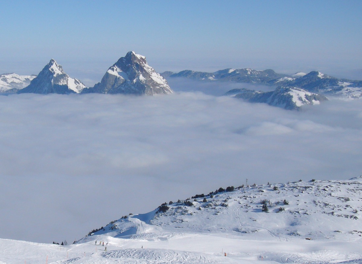
A summit cross and a logbook mark the top. Below you lie the plain around Lake Sihl and the Hoch-Ybrig hiking area. From nearby Spirstock (1,771 m) the view takes in the Grosser and Kleiner Mythen, the two signature peaks of Schwyz. From the Roggenegg alpine inn you look across to the Forstberg, Druesberg and Twäriberg ridge. A separate geological trail around the mountain suits anyone curious about the rock.
When should you go?
Trails are at their best from May to October. For the summit ridge, plan on July to October, when the path is snow-free. In winter the area belongs to the Hoch-Ybrig ski slopes.
What should you bring?
Wear sturdy hiking boots, since the ridge is steep. Pack a windproof layer, water and a map or a route app. Quoted times differ between loops, so leave a margin, especially on the Oberiberg version.
Frequently asked questions
How high is Roggenstock?
Sources give 1,776 to 1,778 m. The gap comes from rounding in different surveys and guides.
Do you need climbing gear?
No. The standard routes are graded T2: they ask for fitness and a steady step, not equipment.
How long does the hike from Oberiberg take?
The full loop is about 3 h 50 min over roughly 9.5 km. Routes that use the lift are shorter.
When is the best time to visit?
May to October overall, and July to October for a reliably snow-free summit.
Nearby places

Earn badges for the places you visit
Download NextOnTrip, discover new places and check off your trails.