About this place
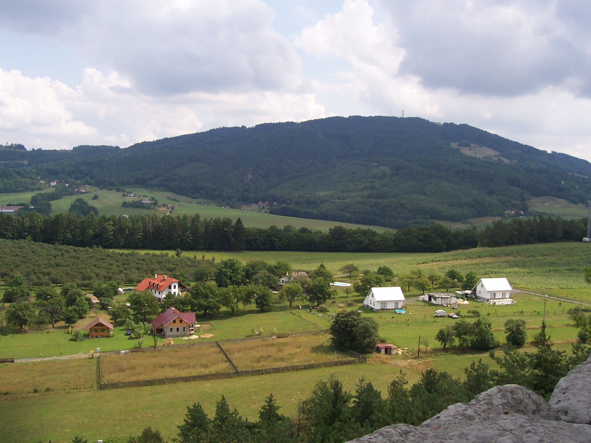
Sokol is a sandstone hill near Michovka, the highest point of the Jičín Uplands (Jičínská pahorkatina) in northern Bohemia, within the Bohemian Paradise (Český ráj) region.
Where is Sokol and how high is it?
The hill rises to roughly 566 metres above sea level west of the village of Besedice, in the municipality of Koberovy, Jablonec nad Nisou district, Liberec Region. The nearest railway station is in Malá Skála, about 1 km away. Sokol is the highest elevation in the entire Jičín Uplands, making it a natural landmark in this part of Bohemian Paradise. The hill takes its name from Sokol, the Czech gymnastics and sports movement with deep roots in the region.
What will you see at the top?
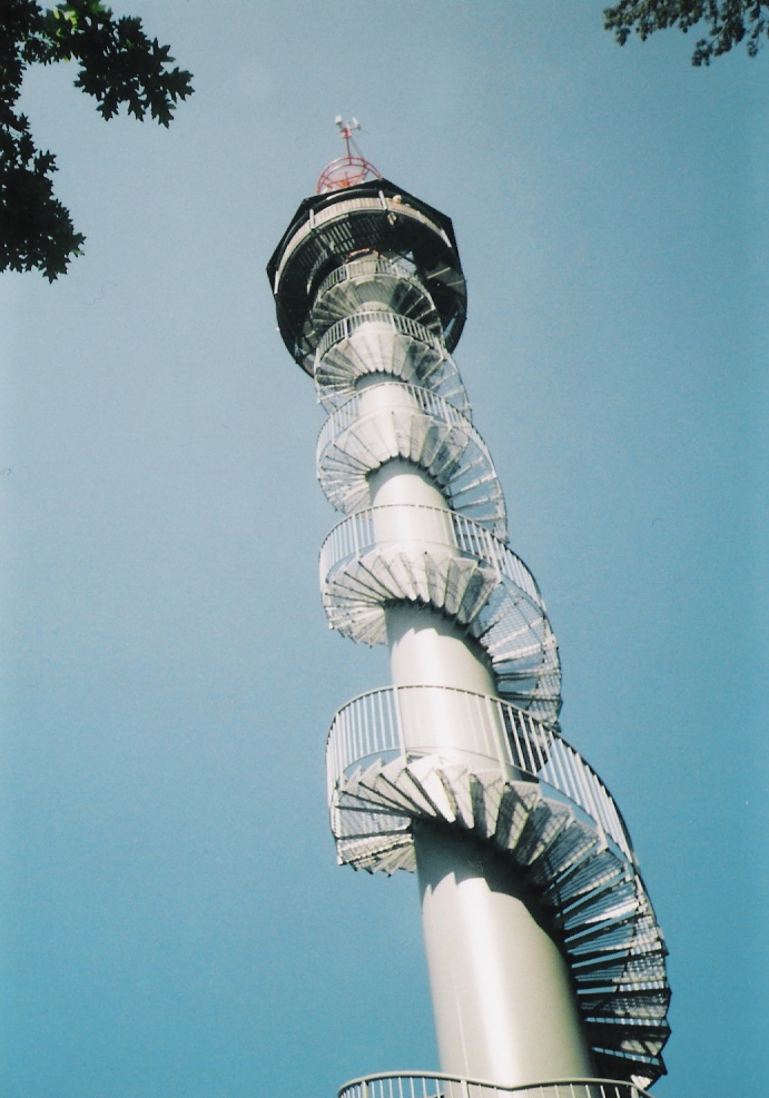
Right next to the summit stand two solitary sandstone rock towers — the smaller Hodánka and the larger Tyršova skála, which carries a relief of Miroslav Tyrš, founder of the Sokol movement. The rocks are made of medium- to coarse-grained quartz sandstone of the Teplice Formation, and they owe their striking resistance to erosion to basanite volcanic plugs that once pushed up through the surrounding sedimentary layers. An observation platform has been built right on the summit, offering panoramic views over the surrounding hills and rock formations of Bohemian Paradise. On Sokol's southwestern slopes lie two smaller rock towns, Kalich and Chléviště, both worth a short detour from the main trail.
How do you get to Sokol?
The most convenient starting points are the Michovka trail junction or the village of Besedice. A 2.5-km geological nature trail, Naučná stezka Besedickými skalami, leads to the summit, passing the viewpoints Hořákova, Husníkova, Kde domov můj and Kinského along the way before reaching the top of Sokol. The route is well marked and needs no special preparation — it's an easy, family-friendly walk of a couple of hours at most. By car, you can drive to Besedice or Koberovy, from where the trailhead is a short walk away.
When is the best time to visit?
Spring and autumn offer the clearest visibility from the observation platform, and the sandstone rocks look especially striking in low, angled light. In summer the trail gets busy with visitors exploring Bohemian Paradise, so an early start is worthwhile. In winter the path can be slippery on the exposed rock, so sturdy footwear is recommended.
Frequently asked questions
How high is Sokol? The hill reaches about 566 metres above sea level and is the highest point of the Jičín Uplands.
Where does the hill's name come from? It's named after the Czech Sokol movement — one of the summit rocks carries a relief of Miroslav Tyrš, its founder.
Is there a viewpoint at the top? Yes, an observation platform on the summit offers panoramic views across Bohemian Paradise.
How long does it take to reach the summit? The geological nature trail from Besedice is about 2.5 km long and typically takes one to two hours, depending on how long you linger at the viewpoints along the way.
Nearby places

Earn badges for the places you visit
Download NextOnTrip, discover new places and check off your trails.