About this place
Sanabria Lake Natural Park — the protected area around Spain's largest glacial lake
Sanabria Lake Natural Park is a protected natural area in Spain, spread around Sanabria Lake in the northwestern part of Zamora Province, within the Sanabria comarca. The park sits in mountainous terrain shaped by the Sierra Segundera and Sierra de la Cabrera ranges, close to the border between Castile and León and Galicia. It covers a surface area of 22,365 hectares, making it one of the larger protected areas in this part of Spain.
How large is the park and what elevations does it cover?
The terrain inside the park boundaries varies considerably. The lowest points are found along the shores of Sanabria Lake, at an elevation of 997 metres above sea level. The highest point in the park is the peak of Peña Trevinca, reaching 2,124 metres above sea level. This difference of more than 1,100 metres means that a single protected area brings together very different landscapes, from the lake basin up to a high mountain summit.
Which municipalities does the park span?
Sanabria Lake Natural Park extends across several municipalities within Zamora Province. These include Galende, Cobreros, Trefacio and Porto de Sanabria. Each of these municipalities holds part of the protected area within its boundaries, which means that tourist infrastructure and access points to the park are distributed among several towns of the Sanabria region rather than concentrated around a single hub.
Where exactly is Sanabria Lake located?
The coordinates commonly associated with the area place it at approximately 42.1225 degrees north latitude and -6.71917 degrees west longitude. This puts the park in the northwestern corner of Zamora Province, close to the Galician border, in a region that is also recorded, in an administrative and cultural sense, as a cultural property associated with the municipality of Galende.
What makes the Sanabria region geographically distinctive?
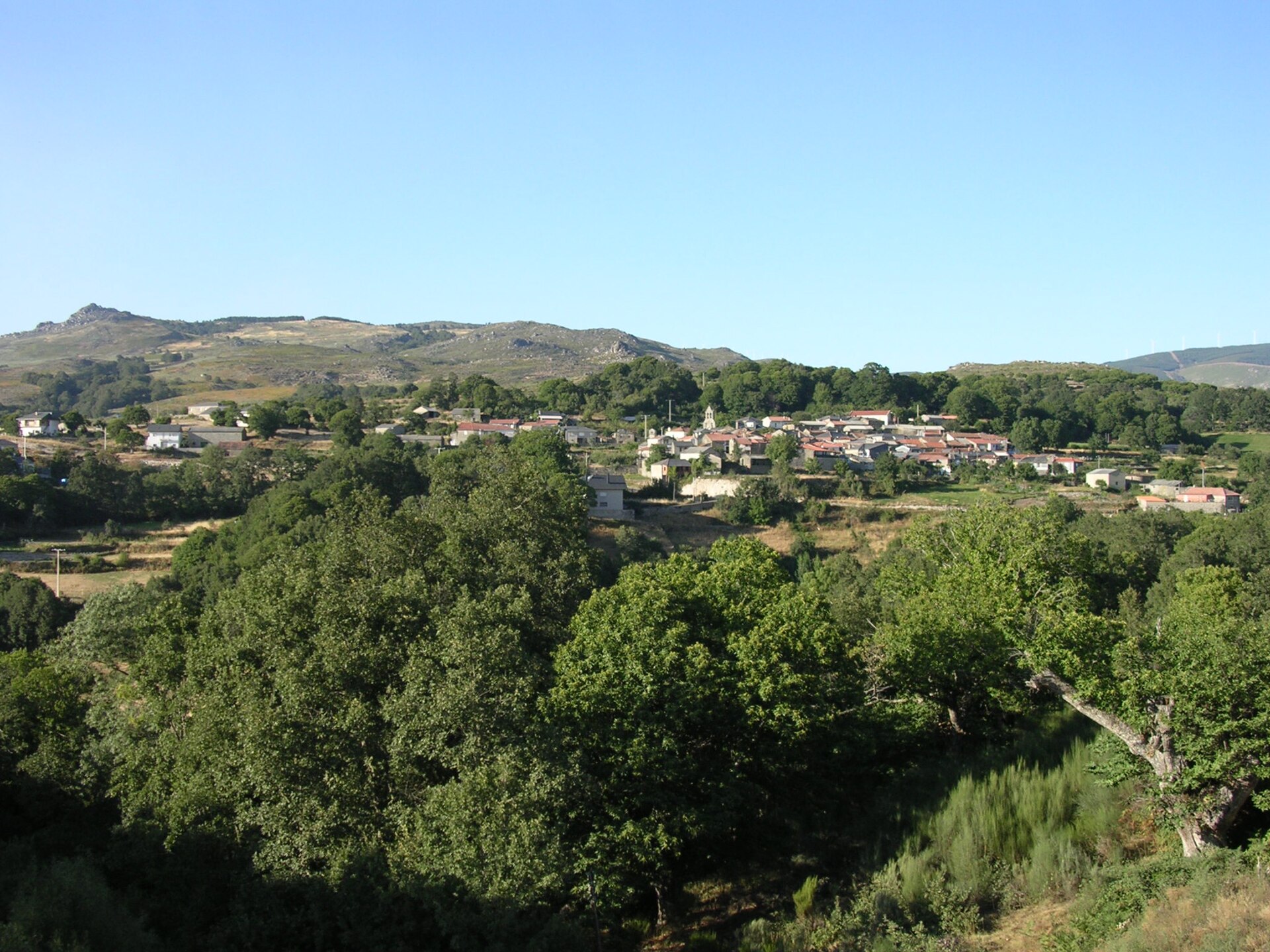
The fact that the protected area combines lowland sections around the lake with the high-altitude terrain of the Sierra Segundera and Sierra de la Cabrera makes Sanabria Lake Natural Park a kind of geographic cross-section of the wider region. The mountainous character of the land, combined with a large body of water sitting at an elevation of just under a thousand metres, produces a landscape and microclimate typical of the transition zone between the interior of the Castilian plateau and the more humid terrain of Galicia.
Frequently asked questions
How large is Sanabria Lake Natural Park? The park covers 22,365 hectares in the northwestern part of Zamora Province.
What is the highest peak within the park? The highest point is Peña Trevinca, at 2,124 metres above sea level.
At what elevation is the lake itself located? The shores of Sanabria Lake lie at around 997 metres above sea level.
Which municipalities lie within the park's boundaries? The park spans the municipalities of Galende, Cobreros, Trefacio and Porto de Sanabria, in the Sanabria region of Zamora Province.
In which part of Spain is the park located? The park lies in northwestern Spain, in Zamora Province, near the border with Galicia, within the mountainous Sierra Segundera and Sierra de la Cabrera ranges.
Nearby places

Earn badges for the places you visit
Download NextOnTrip, discover new places and check off your trails.