About this place
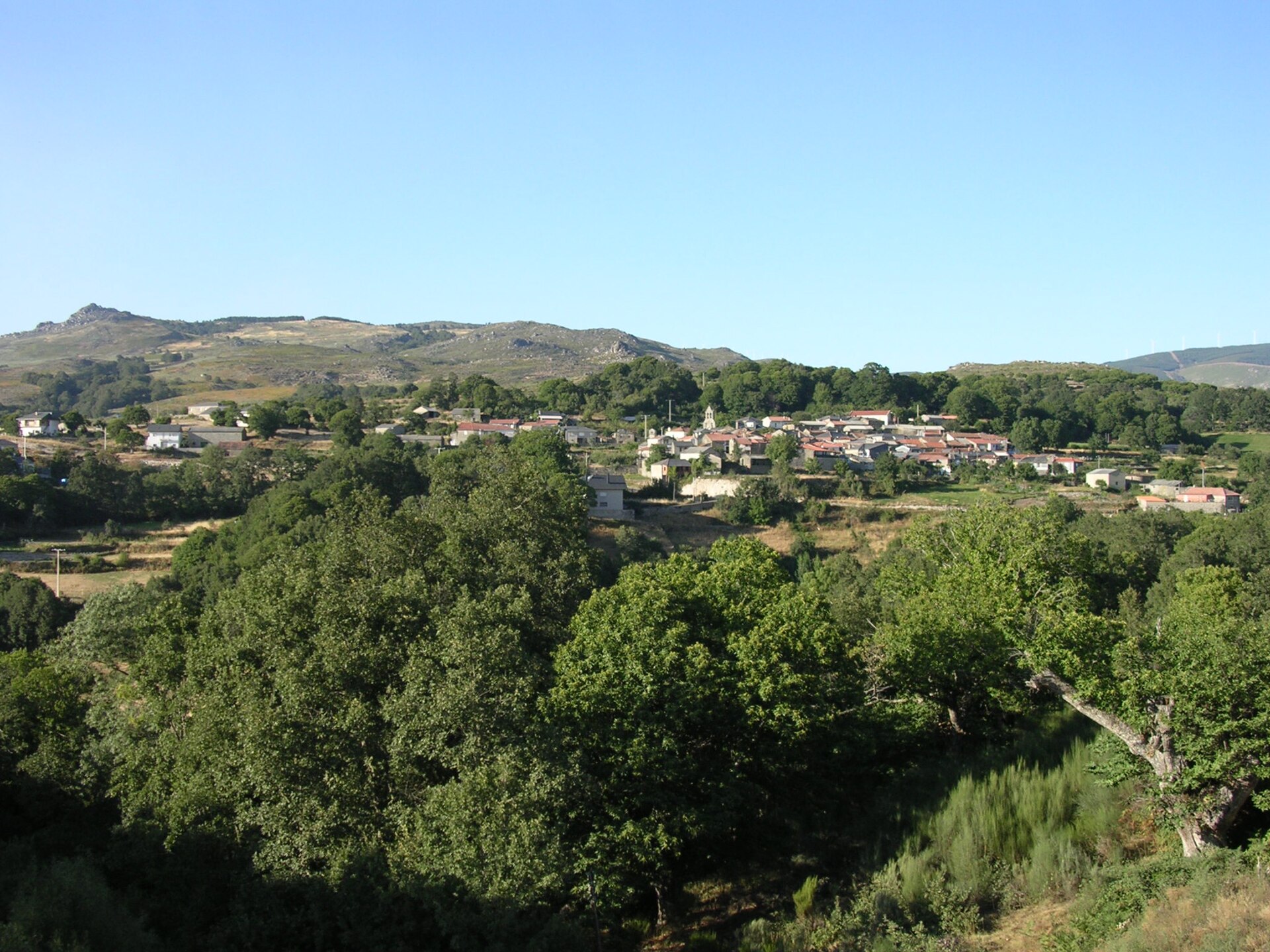
Pena Maseira is a protected natural area in Spanish Galicia, spread across the southern part of Ourense province on the border with Portugal and Castile and León. The site covers 5,739 hectares within the municipalities of A Gudiña and A Mezquita and forms a green corridor connecting the Central Massif of Ourense with the large Portuguese natural park of Montesinho.
What conservation status does Pena Maseira hold?
The area was declared a Site of Community Importance (LIC) in December 2004, and its protection was upgraded to a Special Conservation Zone (ZEC) under the Natura 2000 network in March 2014. It directly borders the Portuguese Montesinho Natural Park, established in 1979 and reclassified in 1997, together forming a cross-border nature protection system at the meeting point of Galicia, the Zamora province region of Seabra, and the Portuguese district of Bragança.
What does the landscape of the protected area look like?
On the Galician side of the border, the landscape of Pena Maseira is shaped mainly by two mountain ranges: A Esculqueira, reaching 1,149 metres, and Penedo dos Tres Reinos at 1,004 metres — the latter's name referring to the historical meeting point of three kingdoms. The mid-mountain zone is dominated by extensive chestnut groves, while the higher ground is covered with scrub and shrub vegetation typical of the upland terrain along the Galician-Portuguese border.
Which animals live in Pena Maseira?
The scrub vegetation on the peaks provides shelter for stable populations of Iberian wolf and roe deer. The presence of these species, which require large, largely undisturbed habitats, was one of the reasons the area was brought under protection within the European Natura 2000 network — the ecological corridor linking the Ourense Central Massif with Montesinho allows animal populations to move freely across the national border.
Why is Pena Maseira important for the region?
Pena Maseira forms one link in a chain of protected areas stretching along both sides of the Spanish-Portuguese border. Its proximity to Montesinho — one of the oldest and largest protected areas in Portugal — means the region's fauna and flora function as a single, continuous mountain ecosystem regardless of administrative divisions. Its location at the meeting point of Galicia, Castile and León, and Portugal further underlines the cross-border character of the site.
Frequently asked questions
Where exactly is Pena Maseira located? In the south of Ourense province in Galicia, within the municipalities of A Gudiña and A Mezquita, on the border with Portugal (Bragança district) and the Spanish province of Zamora (Seabra).
How large is the protected area? It covers 5,739 hectares.
Since when has Pena Maseira been formally protected? It received LIC status in December 2004 and ZEC status under the Natura 2000 network in March 2014.
What are the highest points in the area? A Esculqueira (1,149 m) and Penedo dos Tres Reinos (1,004 m).
Which animals can be found here? The area is known for stable populations of wolves and roe deer living in the scrubland of the higher elevations.
Which Portuguese park borders Pena Maseira? The Montesinho Natural Park, established in 1979 and reclassified in 1997.
Nearby places

Earn badges for the places you visit
Download NextOnTrip, discover new places and check off your trails.