Save this place and discover nearby attractions with NextOnTrip
In the app you can add it to your favorites, see what else is worth visiting nearby on the map, and earn a badge for your visit.
The app is available for iPhone and Android.
About this place
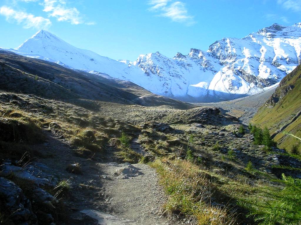
Salaaserkopf (also Salaaser Kopf) is a mountain above Ischgl in the Samnaun Group, sitting on the border between Austrian Tyrol and the Swiss canton of Graubünden. The summit rises above 2,700 m on the ridge between Ischgl and Samnaun, in the Silvretta region, and is best known for summer ridge hikes and mountain bike trails.
Where is Salaaserkopf?
The peak stands on the national border, above the Paznaun valley on the Austrian side and the Samnaun valley in Switzerland. Neighbouring points along the ridge include Palinkopf, then Greitspitz (2,861 m) and the Viderjoch pass. Ischgl and Samnaun share one linked ski and hiking area, so the summit can be reached from either side.
How do you get to the top?
The best-documented route starts in Samnaun Dorf, where parking is at Chasa Riva at the village entrance. The path follows Val Musauna beside the Schergenbach stream to the Zeblas meadows and the Zeblasjoch pass on the Austrian border. From there you pass Palinkopf and climb Salaaserkopf. The border ridge then continues to Greitspitz and down to Viderjoch, ending at Alp Trider Sattel. You can ride the chairlift down from there or walk about 45 minutes past the reservoir.
The full loop from Samnaun is roughly 14.8 km with about 1,160 m of climbing and around 7 hours on foot. Graubünden rates it as difficult and asks for basic alpine experience and good navigation. A shorter walk to the Gipslöcher formations, with Salaaserkopf as a waypoint, covers about 13 km in roughly 4 hours with moderate ascent.
What can you see from the summit?
The panorama takes in the Verwall group across the Paznaun, the Samnaun peaks including Muttler and Stammerspitz, the Hexenkopf and the Ötztal Alps.
Can you bike here?
Yes. The area is part of the Ischgl–Samnaun trail network. A flowing singletrail over Salaaserkopf, as Samnaun describes it, runs about 8 km to the Alp Trider Sattel saddle. Check the current route description before setting out, since sources quote different elevations for the highest points of the various loops.
When to go
Trails are open in summer and early autumn, once snow has left the ridge. Check the forecast before starting, because the border ridge is exposed.
FAQ
Is Salaaserkopf in Austria or Switzerland? On the border of both: Tyrol on one side, Graubünden on the other.
Where is the easiest place to start? Samnaun Dorf. You can also take the lifts to Alp Trider Sattel and return along the ridge.
Do you need mountain experience? The full ridge route is rated difficult and needs basic alpine skills.
Should I carry a passport? The route crosses the Austria–Switzerland border, so bring photo ID.
Nearby places

Earn badges for the places you visit
Download NextOnTrip, discover new places and check off your trails.