Save this place and discover nearby attractions with NextOnTrip
In the app you can add it to your favorites, see what else is worth visiting nearby on the map, and earn a badge for your visit.
The app is available for iPhone and Android.
About this place
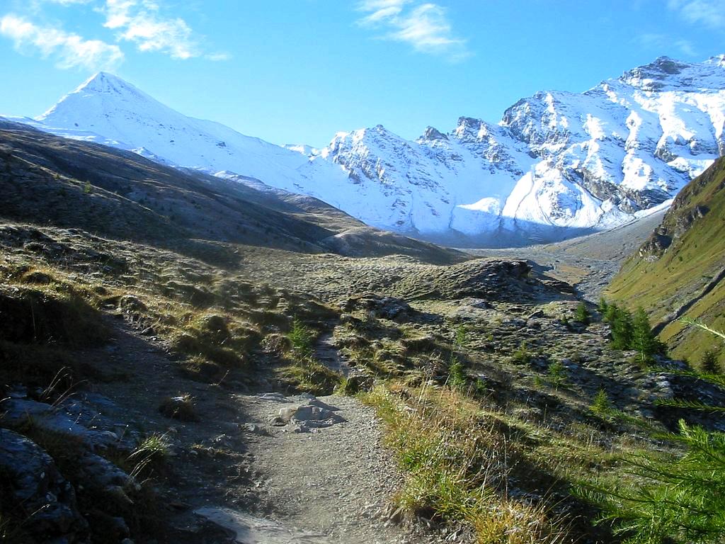
Muttler (also Piz Muttler) is the highest peak of the Samnaun Alps, a subrange of the Rhaetian Alps, at roughly 3,294 m above sea level. It rises south of the village of Samnaun in the Swiss canton of Graubünden and draws experienced hikers who want a big summit without technical climbing.
Where is Muttler?
The mountain belongs to the Samnaun group in eastern Switzerland, close to the Austrian border. The area is known for the high Samnaun valley, a former duty-free zone, and for a large ski region that links Switzerland with Tyrol. Muttler tops the whole massif, so its summit offers a wide view over the surrounding ridges.
Sources quote slightly different heights: 3,293, 3,294 or 3,295 m. Tourist descriptions most often use 3,294 m.
How do you climb Muttler?
The usual ascent starts at the Samnaun Dorf bus stop. Graubünden's tourism board lists it as a demanding mountain hike, a loop of about 14.8 km that takes around 7.5 hours.
The route in brief:
- The path climbs the Val Maisas, passes a shepherd's hut and reaches the Rossboden meadows.
- It then follows the Lange Seite ridge to Rote Seeli, a small lake that turns reddish in summer. In recent years it has often nearly dried out.
- Near the Rossbodenjoch pass the view opens onto Val Sampuoir and the Mundin group.
- The final stretch follows the Nordgrad ridge to the summit.
The last steep section crosses brittle slate that is often damp or icy, and therefore slippery. The normal summer route needs no climbing gear, but it counts as a hard mountain walk and calls for sure footing and mountain experience.
What will you see on the way and from the top?
The tour mixes several landscapes: a side valley with pastures, an alpine lake, rocky ridges and finally a panorama across the Rhaetian Alps. In clear weather you can pick out the neighbouring peaks of the Samnaun group and further ranges beyond.
A transmitter stood west of the summit from 1972 until 2011. Today the top is free of that installation and feels wild and unspoilt.
When should you go?
Plan the climb for summer or early autumn, when the slopes are free of snow. Check the forecast before you set out: visibility and temperature change fast at altitude, and icy slate raises the risk of a slip. Start early to leave a comfortable margin for the descent.
Frequently asked questions
How high is Muttler?
About 3,294 m above sea level. It is the highest summit in the Samnaun group.
Do you need climbing skills for Muttler?
Not technical ones. The normal summer route involves no climbing, but it is physically demanding and slippery in places, especially on the slate near the top.
How long does the ascent from Samnaun take?
The loop from Samnaun Dorf is about 14.8 km and takes roughly 7.5 hours.
Which country is Muttler in?
Switzerland, in the canton of Graubünden above the village of Samnaun, near the Austrian border.
Nearby places

Earn badges for the places you visit
Download NextOnTrip, discover new places and check off your trails.