Save this place and discover nearby attractions with NextOnTrip
In the app you can add it to your favorites, see what else is worth visiting nearby on the map, and earn a badge for your visit.
The app is available for iPhone and Android.
About this place
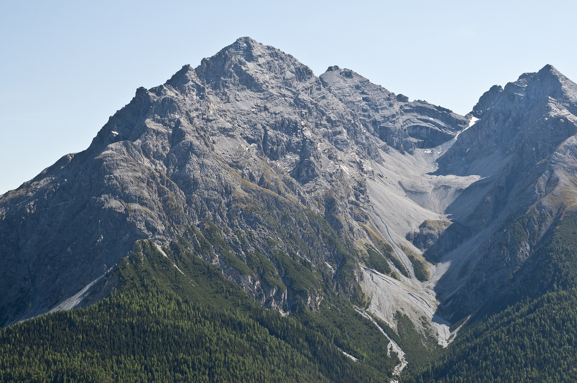
Piz Daint is a 2,968 m peak above the Val Müstair in the Swiss canton of Graubünden. It belongs to the Ortler Alps and rises over the Ofen Pass (Pass dal Fuorn), with Tschierv as the nearest village on the north side. This is the mountain, not the CSCS supercomputer in Lugano that shares its name.
Where is Piz Daint?
The summit stands in south-eastern Switzerland, not far from the Italian border, at roughly 46.62° N, 10.29° E. From the top you look into Val Müstair and across to the Ortler group.
How do you hike to the summit?
The standard route starts at the Süsom Givè PostBus stop on the Ofen Pass, about 2,150 m above sea level. The loop over the summit to Alp Buffalora is around 11.5 km and takes close to 4 hours 45 minutes. Graubünden's tourism site rates it as medium difficulty.
The route in brief:
- from the stop, follow the path past the transmitter mast on the south-east flank of Il Jalet to the saddle between that hill and Piz Daint,
- near Davo Plattas (2,289 m) a branch leads up to the summit,
- the climb totals about 600 m, and the last 300 m follow the west ridge,
- the descent runs along the ridge, over the high plateau of Jufplaun and Döss da las Plattas, to Alp Buffalora.
A longer alternative from Süsom Givè goes via Alp Champatsch to Lü and Tschierv (about 13 km, roughly 4 hours 55 minutes).
How demanding is it?
The ascent is steep, rocky and sometimes muddy. Wear trekking boots, be able to navigate, and have basic alpine experience. There are no facilities on the summit, so carry water and food, and check the forecast before setting off.
What can you see?
The summit looks into Val Müstair and towards the Ortler massif. Lower on the trail the paired outlines of Piz Daint and Piz Dora stand out.
How do you get there?
PostBus runs to the Ofen Pass from Zernez, Val Müstair and Mals. Drivers can park at the pass, but spaces fill quickly in peak season. From Alp Buffalora, where a mountain inn operates, an hourly bus brings you back up to the pass.
Frequently asked questions
How high is Piz Daint?
2,968 m. Some route descriptions list 2,967 m as the highest point of the trail.
Where is the easiest place to start?
At Süsom Givè on the Ofen Pass, around 2,150 m, which leaves roughly 600 m of ascent.
How long does the hike take?
The loop to Alp Buffalora takes about 4 hours 45 minutes, not counting long breaks.
Is there a hut or café at the top?
No. The summit has no infrastructure; the first inn is at Alp Buffalora at the end of the route.
Nearby places

Earn badges for the places you visit
Download NextOnTrip, discover new places and check off your trails.