About this place
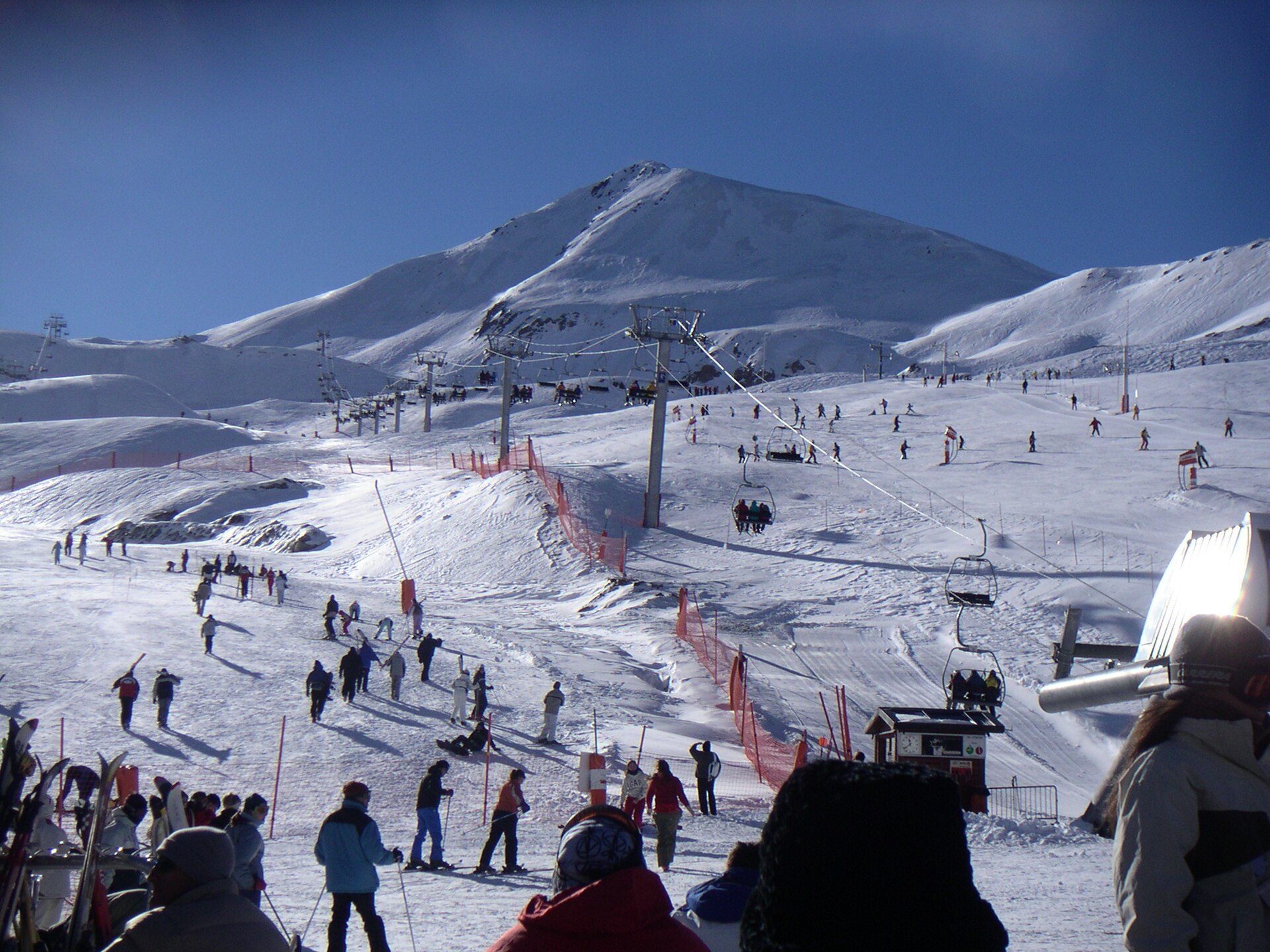
Pic de Céciré is a 2,403 m summit in the Central Pyrenees, rising above the Superbagnères ski resort near Castillon-de-Larboust. It is the highest point of the Superbagnères massif and one of the best-known hiking destinations around Luchon.
How to get there?
The hike starts at the Superbagnères plateau, reached from Bagnères-de-Luchon (roughly 650 m) either by road or by cable car. From the parking area near the resort, the trail passes the Arbesquens ski lift and joins a recently renovated section of the GR10, marked with red-and-white waymarks. The path follows a grassy ridge with no technical difficulty, though the full loop runs about 14.5 km with 922 m of elevation gain, taking around 6 to 6.5 hours.
After roughly 1.5 hours of walking, the trail reaches the Col de la Coume de Bourg (2,240 m), where hikers leave the GR10 and turn right onto a well-marked path following the Céciré ridge all the way to the summit.
What will you see?
The summit delivers a 360-degree panorama over the central Pyrenees. On one side, the border ridge unfolds with the Maladeta massif and Aneto, the highest peak in the Pyrenees, visible across the Spanish border. On the other side, the view opens onto the Luchon valley and the surrounding Comminges countryside. It is one of the most complete viewpoints reachable on foot from the Superbagnères station, drawing both hikers looking for a shorter scenic outing and those tackling the full ridge loop.
The landscape itself is worth noting: gentle, grass-covered ridgelines contrast with the rockier high-mountain scenery visible in the distance, making the summit a good vantage point without requiring travel through difficult alpine terrain.
When to visit?
The hiking season in this area runs from late spring to early autumn, once the trails are clear of snow and the Superbagnères station is running in summer mode. Long summer days make it easier to complete the full loop back to the starting point in comfortable daylight. In spring and autumn, check current ridge conditions, as the higher sections can hold snow longer than the valley floor.
Frequently asked questions
How high is Pic de Céciré? The summit reaches 2,403 m, making it the highest point of the Superbagnères sector.
How long does the hike to the summit take? The full loop from the Superbagnères station is about 14.5 km with 922 m of elevation gain, typically taking 6 to 6.5 hours.
Is the route technically difficult? No — the trail mostly follows a grassy ridge and requires no climbing equipment, though the distance and elevation gain call for good fitness.
What can you see from the summit? A full 360-degree panorama, including the Maladeta massif and Aneto on the Spanish side, and the Luchon valley with surrounding ranges on the French side.
Nearby places

Earn badges for the places you visit
Download NextOnTrip, discover new places and check off your trails.