Save this place and discover nearby attractions with NextOnTrip
In the app you can add it to your favorites, see what else is worth visiting nearby on the map, and earn a badge for your visit.
The app is available for iPhone and Android.
About this place
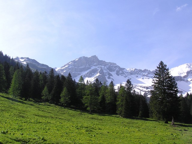
Naafkopf is a 2,570 m summit in the Rätikon range of the Alps, where the borders of Switzerland, Liechtenstein and Austria meet. The top marks a three-country tripoint, and the peak ranks as the third highest point in Liechtenstein.
What makes Naafkopf special?
A large wooden cross stands on the summit, set into a brick base with arms reaching in three directions, one for each country. You can step from one state to another within a few paces. The borders follow the ridges: the north-east ridge separates Austria from Liechtenstein, the south-east ridge Austria from Switzerland. Neighbouring peaks include Grauspitz, Augstenberg and Tschingel, and the views take in the whole Rätikon chain and the valleys on both sides of the frontier.
How do you get to the top?
The standard route begins at the Pfälzerhütte, a mountain hut on the Bettlerjoch pass at about 2,108 m, right on the Liechtenstein-Austria border. The climb is roughly 460 m of ascent and takes around two hours. The path is clear but crosses rocky stretches and zigzags over scree below the summit. Sturdy hiking boots and a steady step are needed; guides rate it anywhere from T2 to T3.
Other starting points:
- Malbun (Liechtenstein) – via Sareis and the Fürstin-Gina-Weg, about 3.5 hours to the summit,
- Nenzinger Himmel on the Austrian side,
- Steg – a longer approach through the Valüna valley,
- Augstenberg – along the ridge from Malbun as part of a three-country traverse.
A popular loop runs Malbun – Augstenberg – Pfälzerhütte – Naafkopf – Malbun, around 10 km with about 1,300 m of climbing, and needs a full day (about 8 hours on foot).
When should you go?
The best season runs from late June to late September, once snow has cleared from the trail. The Pfälzerhütte is open from mid-June to mid-October, so you can sleep at the hut and split the trip over two days. Check the forecast and trail conditions before setting out, because weather in the upper section changes quickly.
Frequently asked questions
Is Naafkopf the highest mountain in Liechtenstein?
No. At 2,570 m it is the country's third highest point, behind Grauspitz, the highest.
Do I need a passport to reach the summit?
The route crosses three countries, but there are no border controls here. Carry photo ID anyway.
How long is the climb from the hut?
About two hours up; the descent is a little quicker.
Where should I start to keep the approach short?
Staying at the Pfälzerhütte and climbing from there is the shortest option. From Malbun, allow about 3.5 hours to the summit.
Nearby places

Earn badges for the places you visit
Download NextOnTrip, discover new places and check off your trails.