About this place
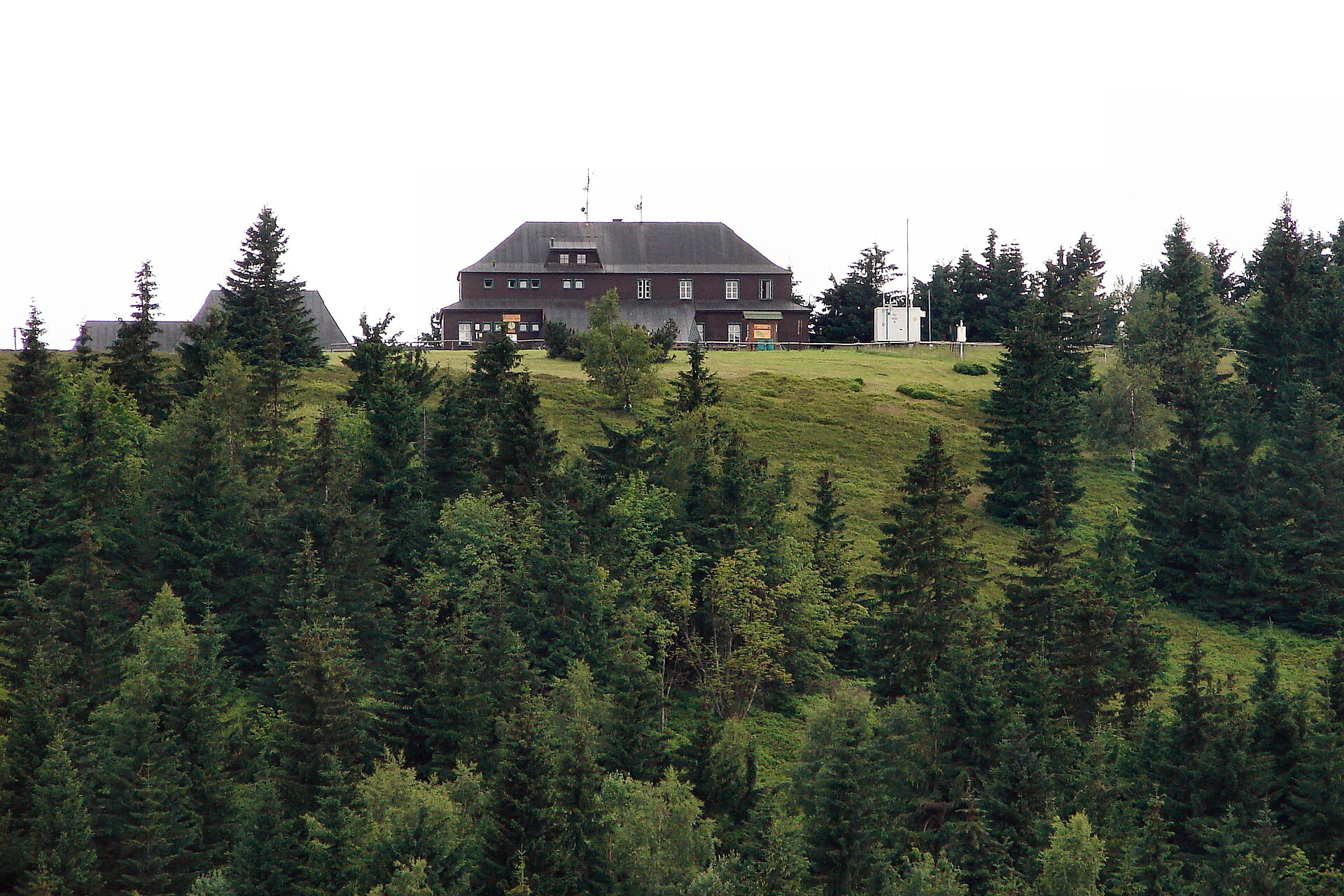
Mravenečník is a 1,005-metre peak in the Krkonoše (Giant Mountains), located roughly 3.5 km west of the town of Žacléř on the Czech side of the border. It is the second easternmost thousand-metre summit in the entire Krkonoše range, making it a useful landmark for hikers exploring the quieter eastern end of the mountains, far from the crowds around Sněžka.
Where exactly is Mravenečník?
The summit lies within the Krkonoše National Park (KRNAP), at the eastern edge of the massif. The Czech-Polish state border runs very close to the peak — the summit itself sits on the Czech side, but the frontier passes almost directly alongside it. Two ridges radiate from Mravenečník: the Žacléř ridge running east and southeast toward the town of Žacléř, and the Čepel ridge extending north. The nearest village used as a trailhead is Dolní Albeřice, and the area lies about 12 km north of Trutnov and just under 7 km northeast of Janské Lázně.
How do you get to the summit?
Approaches to Mravenečník typically start from the valleys on the Czech side, near Dolní Albeřice or Žacléř. The trails follow the classic Krkonoše pattern of gradual forest ascents through lower and upper montane zones, without demanding any technical high-mountain terrain. Since the peak lies inside a national park, it's worth sticking to marked trails and checking for any seasonal restrictions tied to nature conservation. Hikers planning a longer ridge route can combine Mravenečník with a walk along the Čepel ridge or toward Žacléř.
What will you see there?
Mravenečník is a forested summit typical of the less-visited eastern Krkonoše. Unlike the central, more alpine part of the range around Sněžka or the Kotel Łomniczki cirque, the area around this peak has kept a wilder, densely wooded character. It suits visitors looking for quiet and a genuine forest hiking experience rather than a postcard viewpoint. The proximity of the state border also gives the area a distinct borderland feel, and it's easy to combine a walk here with a route that crosses into the Polish side of the Krkonoše/Karkonosze.
When is the best time to visit?
The most comfortable hiking conditions run from late spring through early autumn, roughly May to October, when forest trails are dry and passable. Summer brings welcome shade from the tree cover, while winter tends to be quieter here than on the popular ski routes in the central Krkonoše, though it calls for proper preparation for snow conditions. In spring and autumn, expect muddy stretches on forest paths and check current trail conditions before setting out.
Frequently Asked Questions
How high is Mravenečník? The peak reaches 1,005 metres above sea level and is the second easternmost thousand-metre summit in the Krkonoše range.
Is Mravenečník in Poland or the Czech Republic? The summit sits on the Czech side, with the Polish-Czech border running immediately alongside it.
How long does the climb from Žacléř or Dolní Albeřice take? Routes from the valleys are moderate forest ascents — exact timing depends on the chosen path and hiking pace, so check current KRNAP trail markings before setting out.
Are there other attractions nearby? Yes — the area allows for longer ridge hikes toward Čepel and Žacléř, as well as routes toward Janské Lázně, making it easy to plan an extended trip through the eastern Krkonoše.
Nearby places

Earn badges for the places you visit
Download NextOnTrip, discover new places and check off your trails.