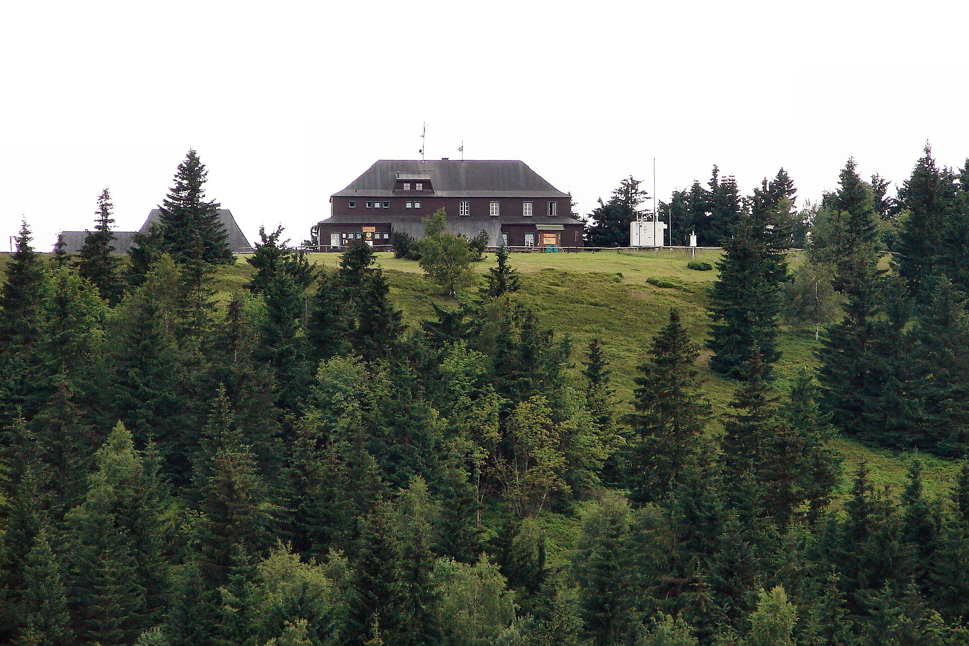
About this place
Kutná is a peak in the Krkonoše (Giant Mountains / Karkonosze) range, located in the municipality of Žacléř on the Czech side of the Polish-Czech border. It belongs to the Rýchory massif, which forms the southern continuation of the Lasocki Ridge (Lasocki Grzbiet) — one of the ranges that make up the eastern part of the Krkonoše mountains.
Where is Kutná located?
The peak sits at roughly 50.66°N, 15.85°E, in a border area where the Czech Rýchory massif meets the Polish Lasocki Ridge. This is typical terrain for the eastern Krkonoše: a lower, gentler range compared to the high-alpine core around Sněžka, but quieter and far less crowded with tourists.
The nearest larger town is Žacléř, a small settlement on the Czech side of the border known for its coal-mining history and its location at the foot of the Rýchory range. It's the most convenient starting point for heading toward Kutná and the surrounding hills.
How to get to Kutná?
The Rýchory area is accessible mainly on foot or by bike — there's no major tourist infrastructure such as lifts or cable cars here, which is actually part of its appeal for anyone looking for a quieter alternative to the busier Krkonoše trails. Žacléř, or other villages at the base of the massif, are the usual starting points.
It's worth planning the route in advance and checking current trail markings (the Czech KČT network). Despite its modest relative elevation, the Rýchory ridge is heavily forested and calls for proper footwear and good orientation skills, especially outside the summer season.
What will you see around Kutná?
The Rýchory massif, of which Kutná is part, has a transitional character between lower foothills and the true high Krkonoše. The ridge runs south, forming a natural extension of the Lasocki Ridge — which means hikers following this range can cross the historic Polish-Czech border line almost without noticing, since it's no longer physically marked on the ground.
The terrain itself — gentle rises, coniferous and mixed forest, and modest elevation differences between summits — makes the area around Kutná popular with hikers who prefer long, calm ridge walks over the steep ascents typical of the western Krkonoše.
When to visit?
Late spring, summer, and early autumn are the best times for hiking in the Rýchory range, when trails are dry and well-trodden. In winter, the area can be harder to reach due to snow and fewer cleared access roads compared to the main Krkonoše ski resorts.
Thanks to its forested, tranquil character, Kutná and the surrounding Rýchory hills make a good destination for travelers seeking silence and natural scenery, away from the crowds drawn to Sněžka or Karpacz.
Frequently asked questions
Is Kutná the same place as Kutná Hora? No. Kutná Hora is a well-known historic town in central Bohemia, while Kutná (Krkonoše) is a mountain peak in the Rýchory massif, in a completely different part of the country, near Žacléř.
How high do you need to climb to reach Kutná? The Rýchory massif is a lower, gentler range compared to the high-alpine core of the Krkonoše — trails mostly run through forested terrain with moderate gradients.
Where's the best place to start the hike? Žacléř, at the foot of the massif on the Czech side of the border, is the most convenient starting point.
Is there good tourist infrastructure in the area? Rýchory has more modest infrastructure than the central Krkonoše — there are no lifts or large tourist facilities here, which many visitors actually see as a plus for a quieter, low-key hike.
Nearby places

Earn badges for the places you visit
Download NextOnTrip, discover new places and check off your trails.