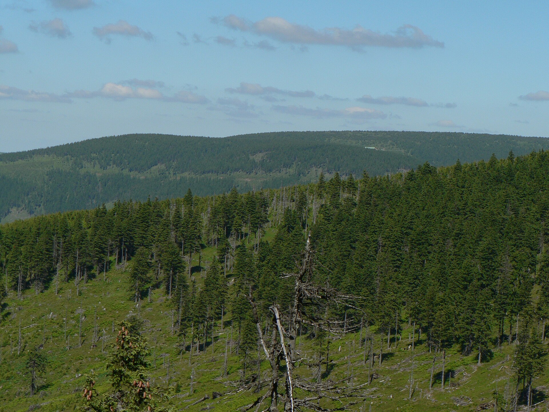
About this place
Malý Děd is a mountain peak in Loučná nad Desnou, right in the heart of the Hrubý Jeseník (High Jeseníky) range in northeastern Czechia. It rises to 1,369 metres above sea level and sits on the historical border between Silesia and Moravia, directly on the main ridge of the massif, between two other well-known summits of the range — Praděd and Velký Jezerník. It's a spot for hikers looking for the raw, open landscape of the Eastern Sudetes without the crowds that gather on the region's more famous peaks.
Where is Malý Děd located?
The peak sits within the municipality of Loučná nad Desnou, one of the gateway towns to the Jeseníky region, in the Olomouc administrative area. It lies roughly 2.2 km northwest of Praděd, the highest point in the entire range, in a straight line. Malý Děd sits directly on the ridge connecting the two summits, which makes it a natural resting point for anyone crossing that stretch of the crest. The mountain itself covers an area of around 4.4 square kilometres — a sizeable, if understated, mass within the wider massif.
How do you get to the summit?
Most hikers start from Loučná nad Desnou itself, a village well connected to the rest of the Jeseníky region and a practical base for anyone planning a longer ridge trek. Since Malý Děd lies on the route between Praděd and Velký Jezerník, the usual way up is as part of a ridge crossing that begins near Praděd or one of the surrounding valleys. The average slope gradient across the mountain is about 15 degrees — demanding enough to require decent fitness, but without extreme climbs, making it a solid choice for hikers with moderate mountain experience.
What's the surrounding area like?
The Hrubý Jeseník range is the highest of the Eastern Sudetes, known for its open, partly treeless ridgelines, strong winds, and weather that can shift quickly even in summer. Sitting so close to the range's highest point, Malý Děd shares those same features — wide views across neighbouring ridges, rocky summit sections, and the sparse vegetation typical of the Jeseníky's upper slopes. Because of its proximity to Praděd, a route across Malý Děd is often combined with a stop at the observation tower and weather station on the region's highest summit, making it an appealing option for a full day out on the ridge.
When is the best time to visit?
Late spring, summer, and early autumn are the best windows for hiking this part of the Jeseníky, when the ridge trails are clear and the views stretch furthest. That said, the region is also a genuine winter destination — snow lingers here well into the season, and the upper sections of the ridge can become demanding, requiring proper preparation and gear. It's worth checking the weather forecast before setting out, since the open ridge terrain is exposed to sudden changes and strong wind regardless of the season.
Frequently asked questions
How high is Malý Děd? The summit reaches 1,369 metres above sea level.
Where exactly is Malý Děd located? In the municipality of Loučná nad Desnou, within the Hrubý Jeseník range, on the historical border between Silesia and Moravia.
How far is it from Praděd? About 2.2 km in a straight line to the southeast — the two peaks share the same ridge.
Is the route difficult? The average slope gradient is around 15 degrees, meaning the terrain is demanding but not extreme, suitable for hikers with moderate mountain experience.
Nearby places

Earn badges for the places you visit
Download NextOnTrip, discover new places and check off your trails.