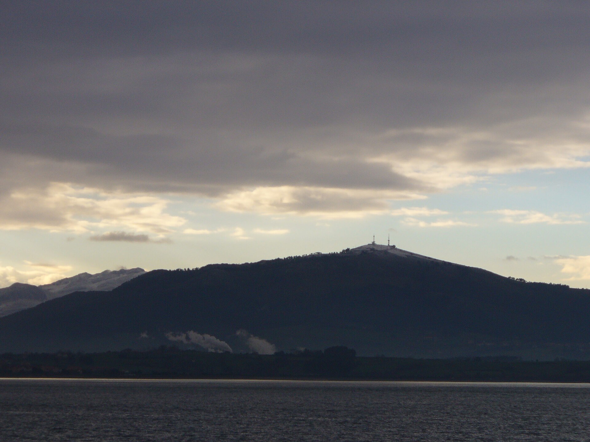
About this place
Macizo de Peña Cabarga is a mountain range in Cantabria, rising just south of Santander Bay within the Sierra de la Gándara. The massif spreads across four municipalities — Liérganes, Medio Cudeyo, Penagos and Villaescusa — covering nearly 2,600 hectares of limestone highlands. Although the area was declared a natural park in 1989, a court ruling in 2005 annulled that status because the required management and resource planning documents had never been adopted. Since then the massif has existed in a kind of legal limbo, while regional authorities work toward protecting it under a new "protected landscape" designation.
What is there to see at the summit?
The highest point of the range, the Peña Cabarga peak itself, reaches 569 metres. Standing at the top is a distinctive tower known as the Monumento al Indiano, unveiled in 1968 as a tribute to the people of Cantabria who emigrated to the Americas in search of a better future — many of whom later returned home and left a lasting mark on the region's architecture and economy.
In the summer of 2025 the tower underwent an extensive restoration and reopened as a modern viewpoint offering multimedia experiences. Visitors can now explore immersive rooms, flight simulators and exhibitions on the history of Cantabrian emigrants, presented through virtual reality technology. This blend of historical heritage and modern technology makes a visit to the summit more than just a scenic stop.
What views does Peña Cabarga offer?
From the viewing platform beside the tower stretches one of the finest panoramas in all of Cantabria. On a clear day, visitors can take in almost the entire regional coastline, the city of Santander with its bay, and, in the distance, the silhouette of the Picos de Europa. The spot is popular among photographers and landscape lovers, especially at sunset.
What else is found within the massif?
Within the eastern part of the range lies a karst formation known as the Cabárceno karst — a geological landscape with a distinctive reddish colour, shaped over thousands of years by the dissolution of limestone rock. Owing to its unique character, the area has been recognised as a Point of Geological Interest. It was on the site of former mining pits in this same area that the well-known Cabárceno Nature Park later developed, although today it functions as a separate attraction.
Frequently asked questions
Is it difficult to reach the summit of Peña Cabarga? The peak stands at 569 metres and is accessible by a local road, making it a relatively easy destination even for visitors who prefer not to undertake long mountain hikes.
What is the Monumento al Indiano? It is a viewpoint tower built in 1968 to honour Cantabrian emigrants to the Americas, restored and reopened in the summer of 2025 with new multimedia attractions.
Is the Peña Cabarga massif currently a natural park? Not formally — that status was annulled by a court ruling in 2005 for procedural reasons, and the region is awaiting new legislation to protect the area.
Which municipalities does the massif span? Peña Cabarga extends across the municipalities of Liérganes, Medio Cudeyo, Penagos and Villaescusa.
Earn badges for the places you visit
Download NextOnTrip, discover new places and check off your trails.