Save this place and discover nearby attractions with NextOnTrip
In the app you can add it to your favorites, see what else is worth visiting nearby on the map, and earn a badge for your visit.
The app is available for iPhone and Android.
About this place
Lost Pot is a vertical cave on Leck Fell in Lancashire, near Lancaster, on the edge of the Yorkshire Dales. It is a destination for experienced cavers rather than ordinary visitors. The entrance sits out on open moorland, and the cave forms part of the Three Counties System.
What is Lost Pot?
Lost Pot drops roughly 105 m and has about 80 m of passage, with two entrances. It was discovered in 1982. At its lower end it joins the top of neighbouring Lost Johns' Cave, one of northern England's classic caves. That link makes Lost Pot part of the Three Counties System, a network of around 87 km of passages running beneath Cumbria, Lancashire and North Yorkshire.
Where is it and how do you get there?
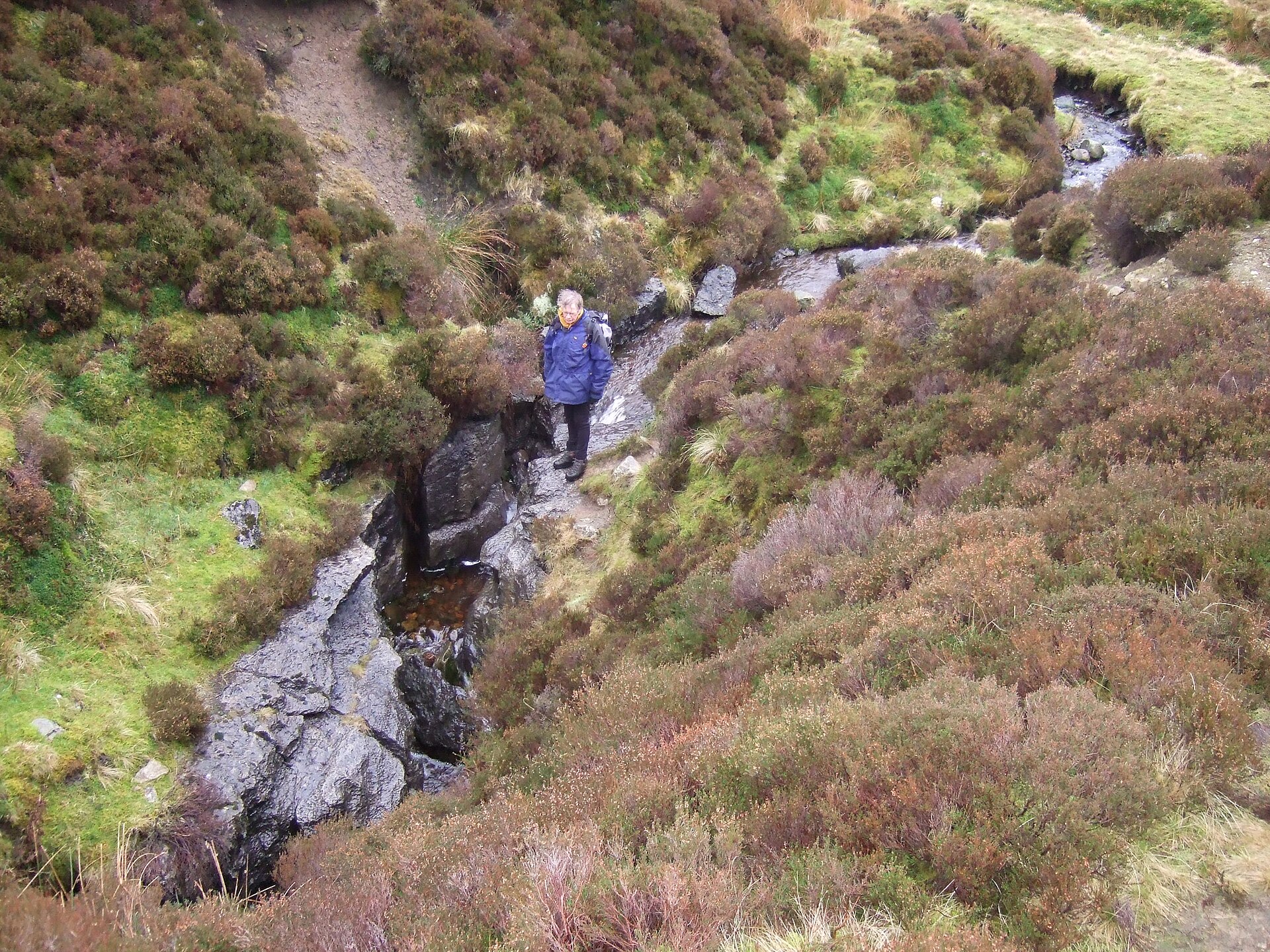
The cave lies on Leck Fell, a limestone upland east of the Lune valley. Narrow lanes from the Casterton and Leck area lead to the fell, and the last stretch is a walk across unmarked moor. The entrance is tucked inside a shakehole ringed by small cliffs, so it is hard to find without a precise description or the coordinates (about 54.2004 N, 2.5058 W). The ground is pathless and the weather turns quickly, so bring a map, sturdy boots and waterproofs.
Can you go underground?
A descent calls for rope gear, vertical caving skills and teamwork. Lost Pot is not a show cave: there are no guides and no visitor facilities. Access on Leck Fell and neighbouring Casterton Fell is organised with the Council of Northern Caving Clubs (CNCC), which runs an online booking system for the Casterton Fell caves. Sources disagree on the access status of Lost Pot itself, so confirm the current requirements with the CNCC before you travel.
What is the story behind it?
After the cave was discovered, cavers reached the bottom, but two days later a boulder slope collapsed and badly injured one member of the party. The entrance was then closed. When nearby Boxhead Pot opened in 1995, it made this part of the system easier to reach, and Tim Allen later bolted up the large aven in Lost Pot. In 2012 a shaft dug from the surface opened up the cave known as It's a Cracker.
What else is nearby?
Lost Johns' Cave next door has around 4.8 km of passage, a depth of 211 m and eight entrances, all routes meeting in the Battleaxe Streamway. Even without going underground, the moor gives a good view of the Dales karst: limestone pavement, sinkholes and shakeholes that hint at the drainage system beneath.
Frequently asked questions
Can beginners visit Lost Pot? No. The cave is vertical and needs rope technique and caving experience. Visitors without training can explore the surrounding fell from the surface.
Do I need a permit? Casterton Fell next door uses a CNCC booking system, and sources differ on Lost Pot. Contact the CNCC before your trip for the current rules.
What does Lost Pot connect to? It leads into the top end of Lost Johns' Cave and, through it, the whole Three Counties System of about 87 km.
When is the best time to go? Choose a spell of dry weather, because water levels in the caves of this area rise fast after heavy rain.
Nearby places

Earn badges for the places you visit
Download NextOnTrip, discover new places and check off your trails.