Save this place and discover nearby attractions with NextOnTrip
In the app you can add it to your favorites, see what else is worth visiting nearby on the map, and earn a badge for your visit.
The app is available for iPhone and Android.
About this place
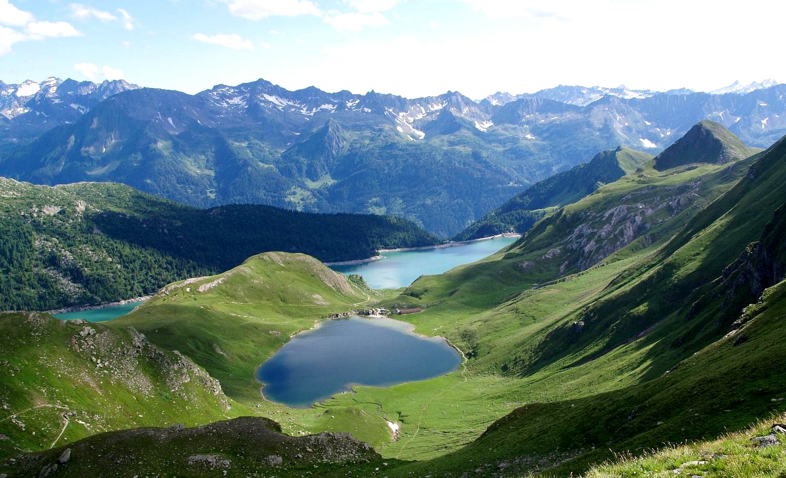
Lago di Morghirolo is a high-alpine lake in the Swiss canton of Ticino, within the municipality of Faido in the Leventina valley. It sits at roughly 2,263 m above sea level beneath Pizzo Campolungo and covers just over 12 hectares. Mountains rise on three sides, and the only gentle approach to the water is along the south-west shore.
Where is Lago di Morghirolo?
The lake lies in the Lepontine Alps, at the head of the Piumogna valley, at about 46.449 N, 8.719 E. The Piumogna river starts here and runs down the valley to join the Ticino near Faido. The village at the valley mouth, Dalpe, is where most walkers begin.
How do you hike to Lago di Morghirolo?
The standard route starts in Dalpe (1,192 m) or Polpiano (1,365 m). The path follows the Piumogna up to the Capanna Campo Tencia hut. From the hut, the lake is around half an hour on foot, with roughly another 100 m of climbing.
- Timing: the Ticino cantonal guide quotes about 4 hours from Dalpe to the lake. The Bellinzona e Alto Ticino tourism board lists an 11 km round trip of about 5 h 15 min, rated moderate.
- Longer loop: the Dalpe – Capanna Campo Tencia – Lago di Morghirolo circuit covers 18.3 km with about 1,130 m of ascent. Komoot rates it hard, calling for good fitness, sure footing and sturdy boots.
- Waymarking: newer markers route the trail past the lake, replacing the older and tougher scree line up to Passo del Löit.
Where can you stay and eat?
The nearest base is Capanna Campo Tencia, a hut run by the Ticino section of the Swiss Alpine Club (CAS) at 2,140 m. It was built in 1912 at the foot of Pizzo Campo Tencia and is regarded as the first mountain refuge in the Ticino Alps. It offers beds and meals, so the lake fits neatly into a two-day trip.
What will you see?
A still sheet of water in a rocky bowl, ridges around Pizzo Campolungo, and open terrain well above the tree line. This is a destination for quiet alpine scenery rather than facilities: there is nothing on the shore itself, so carry food and water from the hut or the valley.
Frequently asked questions
How high is Lago di Morghirolo? About 2,263–2,264 m above sea level; sources differ by one metre.
Where is the easiest place to start? Dalpe (1,192 m) or Polpiano (1,365 m). Both are in the Piumogna valley, a few kilometres from Faido.
Is the hike easy? No. It is a high-mountain walk with several hundred metres of ascent, and it requires fitness, hiking boots and alpine experience.
Is there a hut nearby? Yes. Capanna Campo Tencia, at 2,140 m and about 30 minutes from the lake, offers accommodation and meals.
Nearby places

Earn badges for the places you visit
Download NextOnTrip, discover new places and check off your trails.