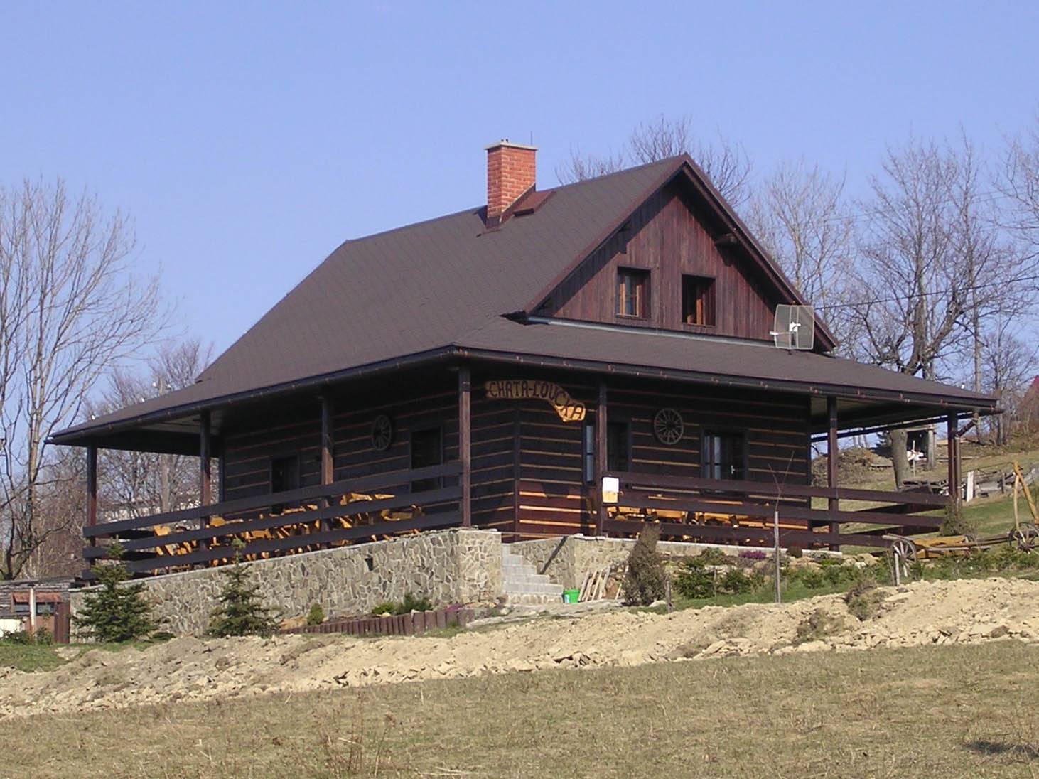
About this place
Łączka (Loučka) near Nýdek
Łączka, known in Czech as Loučka, is a modest but view-rich summit of the Silesian Beskids, rising to 835 metres above sea level right above the village of Nýdek in Czech Silesia, Frýdek-Místek district. The Polish name is used alongside the Czech one in this bilingual borderland region, even though the peak administratively falls within the cadastral territory of the neighbouring municipality of Bystřice. It makes for an easy, half-day outing, valued above all for its open, tree-free top and a panorama that reaches as far as the town of Třinec.
Where exactly does Łączka sit, and what are its neighbours?
The summit sits on the same ridge as the nearby peak of Filipka, roughly two kilometres from Velký Sošov (Great Sošov). The spot also carries some hydrological weight: near the top, three separate catchment areas meet — those of the Hluchová stream, the Olše river, and the Odra river — making Łączka a small local watershed point.
Why climb this particular hill?
Unlike many forested summits scattered across the Silesian Beskids, the top of Łączka has been cleared of trees and left open. On a clear day it offers views over Třinec and the Olše valley, with the Moravian-Silesian Beskids visible further in the distance. That open panorama, uncommon among the lower peaks of the region, is the main reason hikers pick Łączka over taller but wooded neighbours.
Which trails lead to the top?
Several marked routes converge on Łączka, which makes it easy to plan a loop rather than an out-and-back walk. From Nýdek, a green trail leads up before switching to red waymarks; the same green-to-red combination also approaches from Hrádek. Yellow markers bring hikers up from Návsí and Bystřice nad Olší, while a separate red-marked route climbs from Nýdek and Bukovec as well. Between them, a visitor can start in one village and finish in another without retracing the same path.
What does the nature trail on the way up cover?
In 2012, the municipality of Bystřice built a nature trail on the slopes of Łączka, made up of five themed stops, with the full walk taking roughly two hours. The stops cover the geological origins of the Cieszyn Silesia Beskids, the history of settlement on Łączka itself, the local fauna, and the flora — including its distinctive juniper meadows. The final stop, set right at the summit, is dedicated to the panorama of the valley below, with the Bystřice stream and Třinec in view — a fitting close to the walk.
Is Łączka part of any longer hiking route?
Yes — the summit is one of seven stops on a route known as the "Nýdecká sedmička" (N7), or "Seven Peaks of Nýdek," which runs for roughly 30 kilometres in total. Alongside Łączka, the route also takes in Ostrý vrch, Velká Čantoryje (Great Czantoria), Velký Sošov, Velký Stožek, Filipka, and Polední. It suits more determined hikers looking to cover most of the notable summits around Nýdek in a single day.
Frequently Asked Questions
How high is Łączka? The summit reaches 835 metres above sea level.
Are there views from the top? Yes. The summit is cleared of trees, and on a clear day it offers views of Třinec, the Olše valley, and the Moravian-Silesian Beskids.
Which villages are closest to the trails leading up? Trails approach Łączka from Nýdek, Hrádek, Návsí, Bystřice nad Olší, and Bukovec.
What is the nature trail on Łączka? A trail built in 2012 by the municipality of Bystřice, with five stops covering the region's nature and history, running all the way to the summit; the full walk takes about two hours.
Is Łączka part of a longer hiking route? Yes, it belongs to the roughly 30-kilometre "Nýdecká sedmička" loop, which covers seven summits around Nýdek.
Nearby places

Earn badges for the places you visit
Download NextOnTrip, discover new places and check off your trails.