About this place
Lac du Crachet is a glacial mountain lake sitting at roughly 2,238 metres above sea level in the commune of Crévoux, in the Hautes-Alpes department of France. The lake fills a rocky basin inside a wild cirque, closed off on one side by the Col du Crachet and rising on the other toward the Col de Lalatcha at 2,820 metres. It ranks among the favourite hiking destinations in the Crévoux valley near Embrun, prized for its remoteness and raw high-mountain scenery.
How do you get to the lake?
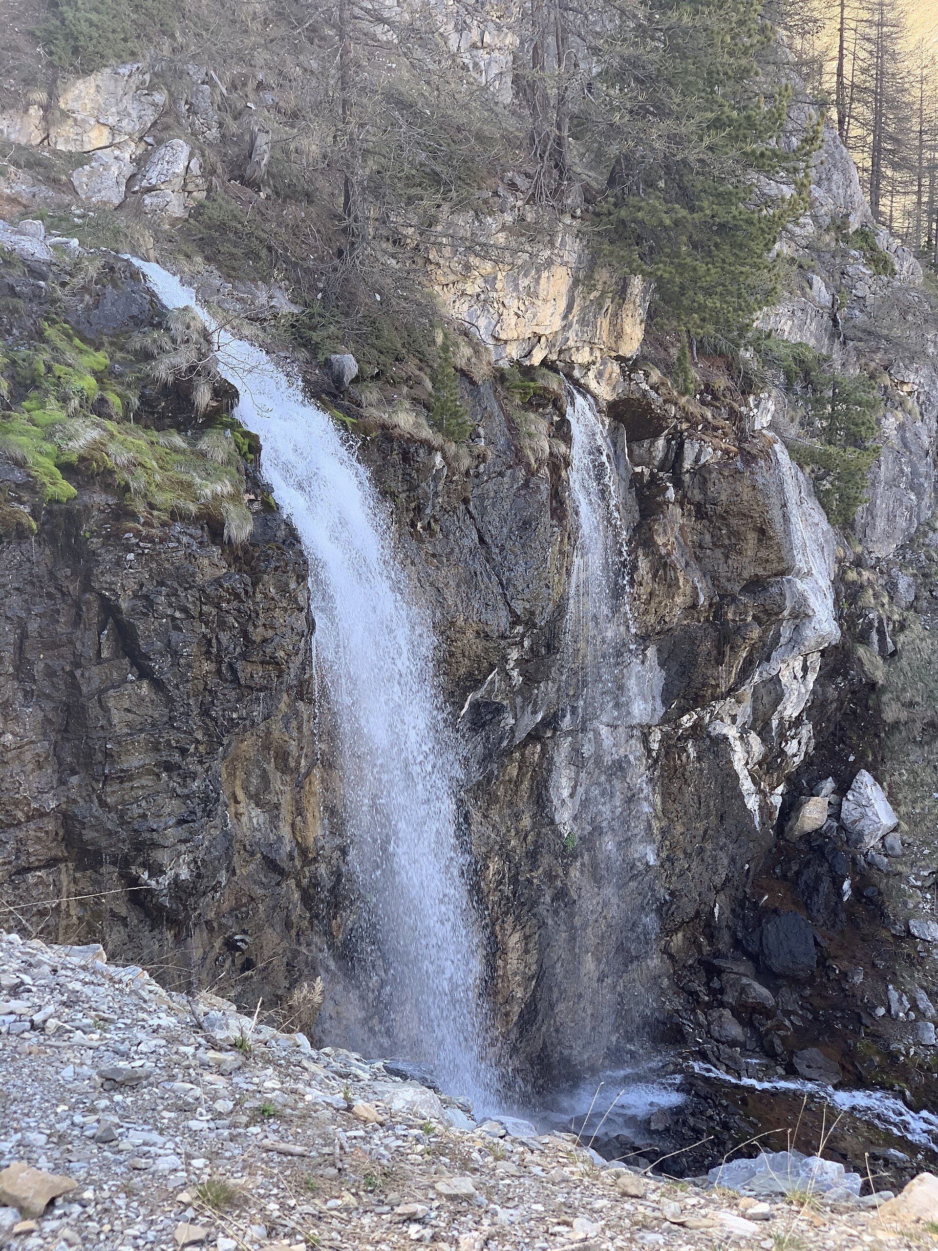
The starting point is the hamlet of La Chalp, where a car park sits about a kilometre further along the road on the left, deeper into the valley. From there the path climbs gently through meadows and past bubbling streams before switching into a series of tighter turns through cool, shaded forest. Roughly halfway up, walkers pass a waterfall, then continue alongside the Crachet stream until the terrain levels out at the rocky shelf holding the lake.
How long is the hike and who is it suited for?
The round trip covers about 6.5 kilometres with close to 577 metres of elevation gain, typically taking around three and a half hours. It's considered a moderately demanding walk — solid fitness helps, but no technical mountaineering skills are required. Less experienced hikers should still budget extra time and bring proper trekking footwear.
When is the best time to visit?
Because the lake's water level depends on how fast the surrounding snow melts, it isn't fed continuously all year round. The most rewarding window falls before mid-July, when meltwater still tops up the basin and the surrounding meadows are at peak bloom. Later in the season, the water level can drop noticeably.
What can you see along the way and at the lake itself?
The route opens up views over the Crévoux valley and the Parpaillon cirque, with the Razis waterfall also visible from the trail. High-altitude meadows here support plants such as yellow gentian, a flower typical of alpine pastures. Chamois and marmots are commonly seen among the rocks ringing the lake, and birds of prey occasionally circle overhead along the ridgelines. The stillness and starkness of the setting make it a particular draw for nature photographers and hikers looking to get away from crowded trails.
Is it a good spot to rest or picnic?
The shores of Lac du Crachet, hemmed in by the cirque's rocky walls, offer a natural place to catch your breath after the climb. Keep in mind this is a high-mountain zone without tourist infrastructure — no benches, refreshment stands, or marked camping spots — so any rubbish needs to be carried back down to the valley.
FAQ
Where exactly is Lac du Crachet located? The lake lies in the commune of Crévoux, in the Hautes-Alpes department, in the Provence-Alpes-Côte d'Azur region, at an altitude of about 2,238 metres.
How long does the hike to the lake take? The round trip from La Chalp usually takes around three and a half hours, covering roughly 6.5 kilometres with about 577 metres of elevation gain.
Is the trail difficult? It's rated moderately demanding, manageable for hikers with average fitness, though sturdy footwear and a full day's time budget are recommended.
When does the lake look its best? The window before mid-July is ideal, when snowmelt keeps the basin full and the surrounding meadows are in full bloom.
Is wildlife commonly seen near the lake? Yes — chamois and marmots inhabit the area around the lake, and birds of prey can often be spotted circling the surrounding ridges.
Nearby places

Earn badges for the places you visit
Download NextOnTrip, discover new places and check off your trails.