About this place
La Tête du Cuvy is a modest viewpoint summit (1,991 m) in the Beaufortain massif, within the town of Beaufort (Arêches-Beaufort) in Savoie, in the French Alps. It may lack the stature of its towering neighbors, but it draws hikers for one clear reason: an orientation table at the top and a sweeping panorama that takes in Mont Blanc, the Grand Mont (2,686 m), Pierra Menta and the Aravis range.
How do you get there?
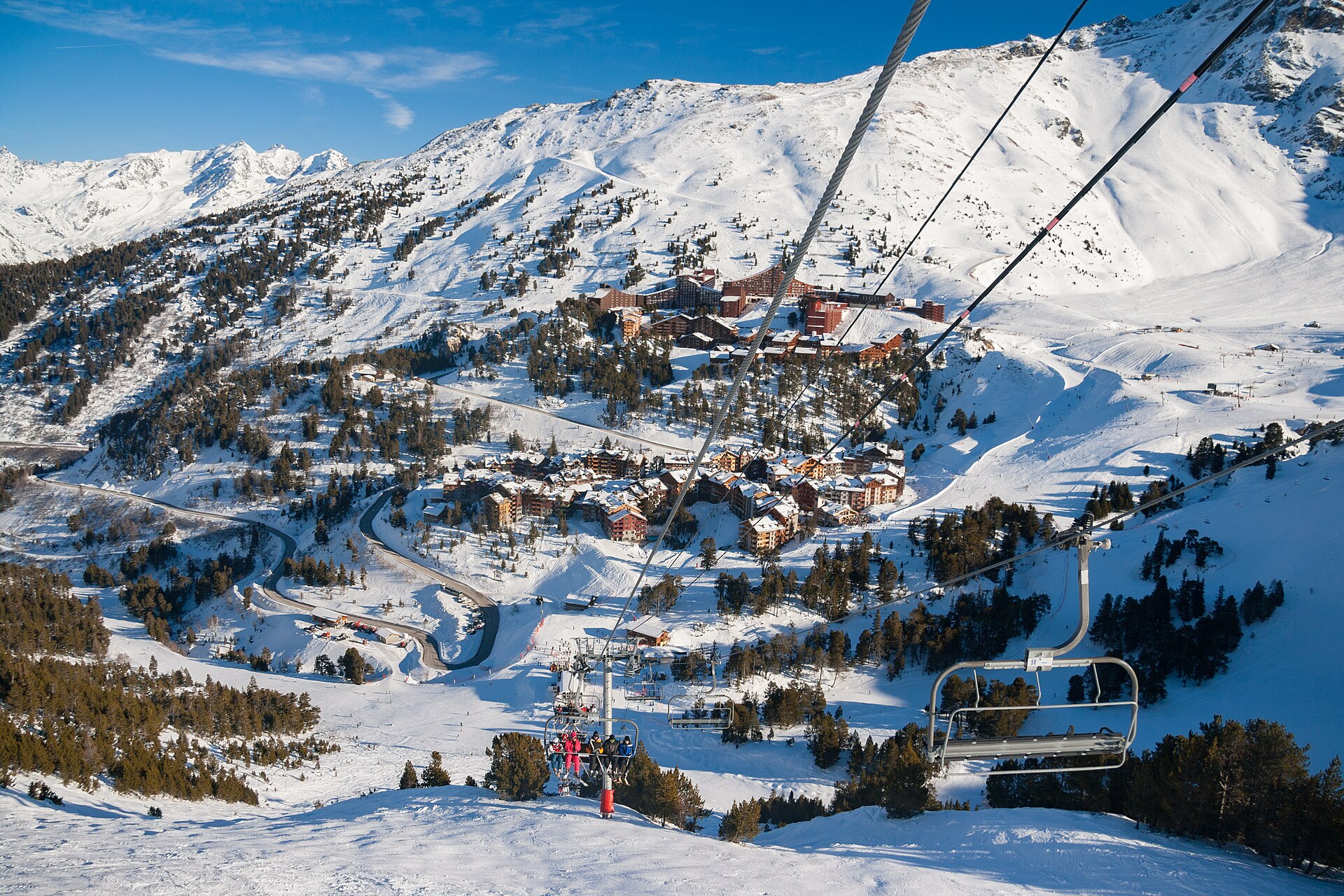
The easiest approach starts in Arêches, where the "Le Grand-Mont" chairlift lifts visitors to roughly 1,700 m in a matter of minutes. From the upper station, the trail turns right, first toward the viewpoint with its orientation table, then climbs the final stretch to the summit of Tête de Cuvy itself.
An alternative route begins at the hamlet of Les Envers (1,150 m), a longer walk-up that skips the lift queue and lets you experience the full rise of the mountain from its base. This variant is also popular in winter with snowshoers, since the climb avoids any exposed sections and stays technically straightforward throughout.
From the signpost marking Tête de Cuvy, the path continues upward to a spot known as "l'Entre Deux Têtes," and from there to the mountain refuge-restaurant "l'Alpage," a natural stop for a meal on a longer outing. More ambitious hikers push on from here toward the summit of Grand Mont (2,686 m), treating Tête du Cuvy as a waypoint on this classic Beaufortain route.
What will you see at the top?
The main draw is the orientation table, which helps you pick out the peaks ringing the horizon across a full 360-degree sweep. On a clear day you can make out Mont Blanc looming over the valley, the rocky bulk of Grand Mont, the Col de la Forclaz, and the distant ridgelines of Pierra Menta and the Aravis.
The terrain around Tête du Cuvy is classic Beaufortain country: alpine pastures cut through by rocky ridges, still grazed in summer, with the nearby l'Alpage refuge a reminder of the area's pastoral use. A different variant of the hike runs via Chornais and passes two small mountain lakes along the way, Lac Tournant (2,010 m) and Lac de Brassa (2,040 m), which make an appealing extra stop in summer.
When should you visit?
Tête du Cuvy can be visited year-round, though the character of the outing shifts with the season. In summer it's an easy-to-moderate walk, well suited to families who use the chairlift to cut out the first stretch of climbing. In winter the slope sees regular use from ski tourers and snowshoers — it's best to head out early, ideally before the ski resort is in full operation, or wait until late in the season when lift traffic on the slope has thinned out.
The clearest views of the Mont Blanc panorama tend to come on cloudless mornings, before afternoon haze starts to soften visibility down in the valleys.
Frequently asked questions
How high is Tête du Cuvy? The summit sits at 1,991 m, making it a fairly gentle target compared with the neighboring Grand Mont at 2,686 m.
Is the hike difficult? The climb is considered demanding in terms of stamina but has no exposed or technical sections, making it accessible to anyone with an average level of fitness.
Can you shorten the climb with a lift? Yes — the "Le Grand-Mont" chairlift from Arêches takes you up to about 1,700 m, leaving only a short walk to the summit from there.
What else is worth seeing nearby? The Chornais variant passes the small lakes of Lac Tournant and Lac de Brassa, and hikers doing the longer route can stop at the l'Alpage refuge along the way.
Nearby places

Earn badges for the places you visit
Download NextOnTrip, discover new places and check off your trails.