Save this place and discover nearby attractions with NextOnTrip
In the app you can add it to your favorites, see what else is worth visiting nearby on the map, and earn a badge for your visit.
The app is available for iPhone and Android.
About this place
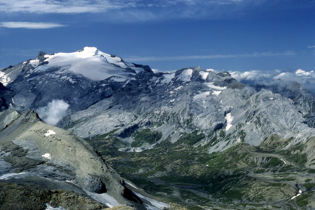
La Fava is a 2,612 m summit in the municipality of Conthey, canton of Valais, Switzerland. It rises between the Diablerets massif and the Rhone valley. For most visitors it is a full-day objective in the high mountains, and in winter a recognised ski-touring outing.
What is La Fava?
The peak has a prominence of 279 m, and its parent summit is Mont Gond. The summit sits at roughly 46.302° N, 7.280° E, inside the Conthey municipal territory, which reaches from the vineyards above the Rhone up to high pastures and the ridge bordering Vaud.
Some sources place the massif in the Vaud Alps, others in the Bernese Alps. For trip planning this barely matters: what counts is the approach from Daillon and the Conthey side.
How do you reach the summit?
The best-documented route is the winter itinerary in the Swiss Alpine Club (SAC) route portal. The ski tour starts near Daillon, passes the hamlet of Tripon and the My pastures, then climbs the southeast ridge to the top. It is graded PD+, with about 1,640 m of ascent and around 5.5 hours of climbing. An alternative start is Coppet (1,270 m), on the road towards the Sanetsch pass.
This is an outing for people with mountain experience: the ascent is long and the final ridge demands sure footing. Check the avalanche bulletin and snow conditions before you set off.
What else is nearby?
Conthey has a wide network of pasture trails. Higher-level goals include the alpine pastures of Pointet, Larzey, Flore, Aire and Lodze, which offer a panorama of more than 180 degrees across the Alps. On the other side of the massif lies Derborence, a lake formed by a rockfall in 1749; a walk around it from the car park takes under an hour. The nearby Pas de Cheville (2,038 m) links Derborence with Gryon on the Vaud side.
When should you go?
Winter and early spring are when La Fava is best known, thanks to its ski-touring routes. In summer the area suits pasture hikes, but check current waymarking: a Conthey municipal report notes that some trail signs are faded or missing. Carry a topographic map or an offline map app.
Frequently asked questions
How high is La Fava? 2,612 m above sea level, with a prominence of 279 m.
Which municipality is it in? Conthey, in the canton of Valais, Switzerland.
How long does the ascent take? According to the SAC portal, the ski route from Daillon via Mayens de My takes about 5.5 hours with roughly 1,640 m of ascent.
Is it a route for beginners? No. The described ski tour is graded PD+ and requires experience in high-mountain terrain.
Nearby places

Earn badges for the places you visit
Download NextOnTrip, discover new places and check off your trails.