About this place
Komáří vrch is a hill in the Krušné hory (Ore Mountains) above the village of Stříbrná, in the Sokolov district of the Karlovy Vary Region. It rises to about 951 metres above sea level, sitting north of the town of Rotava and southeast of Stříbrná itself. Hikers familiar with the region should note this is a different summit from the better-known Komáří vrch near Krupka, which has a cable car — this quieter, rockier peak is a favourite among geology enthusiasts and anyone after a peaceful forest walk.
What will you find at the summit?
Komáří vrch forms part of the Krušné hory crystalline complex, specifically the northwestern edge of the granite-built Karlovy Vary massif. That geological makeup is easy to spot on the ground: the summit and its surroundings are scattered with rock clusters, granite tors, and so-called stone seas left behind from the last Ice Age.
The most distinctive feature is Hraběcí skála (Countess's Rock), a rock formation roughly 10 metres tall that's visible from a distance and popular with visitors looking for a natural viewpoint. Nearby stands another oddly named boulder, Chudá nevěsta (Poor Bride), and about a hundred metres further lies the Ráchel stone field — the largest of its kind in the area, a striking record of intense frost weathering from thousands of years ago.
What history surrounds the hill?
West of the summit, where forest now covers the ground, once stood the village of Nová Ves, which at its peak counted around 60 houses. After 1945 the settlement was evacuated and demolished, a fate shared by many German-speaking villages across the Sudetenland in that period. Today a modest memorial marks the spot where the village once stood, turning a hike up Komáří vrch into as much a piece of regional history as a nature outing.
How do you get to Komáří vrch?
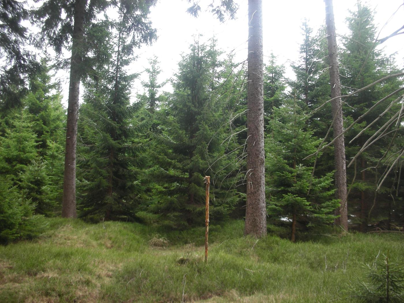
The most convenient starting point is Stříbrná itself, from where a green-marked trail leads to the summit — a walk of under an hour at a relaxed pace. An alternative route starts from T. G. Masaryka Square in Kraslice, also following a marked footpath. Both routes pass through the spruce forest typical of the Krušné hory, with exposed rock outcrops appearing along the way.
When is the best time to visit?
Because the ground is rocky and can get damp, late spring through early autumn is the most comfortable time for a visit, when the trail is dry and easy to follow. In winter the area can be snow-covered and icy, so extra care is needed, especially if you plan to climb onto the rocks themselves. Sturdy hiking boots are worth packing — the stony, root-covered path is unforgiving of casual footwear.
Frequently asked questions
Is Komáří vrch near Stříbrná the same place as the Komáří vrch near Krupka with the cable car? No. These are two separate hills that happen to share a name, located tens of kilometres apart in different parts of the Krušné hory. The one described here has no cable car or major tourist infrastructure.
How long does it take to reach the summit from Stříbrná? Following the green trail from the centre of Stříbrná, the climb typically takes about 45 to 60 minutes, depending on your pace and fitness.
What is the main draw of this location? The cluster of granite rock formations, especially Hraběcí skála, along with the extensive Ráchel stone field — one of the more striking post-glacial landscape features in this part of the Krušné hory.
Is there anything to see besides the rocks? Yes — just west of the summit lies the site of the vanished village of Nová Ves, marked by a memorial, which adds a layer of local history to the walk.
Nearby places

Earn badges for the places you visit
Download NextOnTrip, discover new places and check off your trails.