About this place
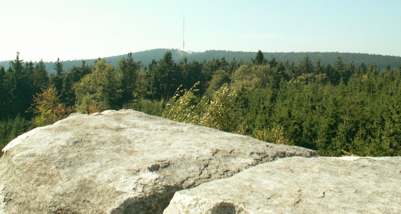
Kamenný vrch is a forested hill rising to 710 metres above sea level, located southwest of the village of Nová Ves, part of the town of Batelov in the Jihlava district, within the Bohemian-Moravian Highlands (Vysočina). The hill sits at the meeting point of two highland ranges, the Křižanov Highlands and the Javořice Highlands, an area known for its gentle, densely forested hills that average around 700 metres in height. It's a landscape typical of inland Czechia: rolling, wooded elevations cut through by small stream valleys, with scattered settlement and a quiet, rural character.
Where exactly is Kamenný vrch?
The hill rises just above Nová Ves, within the cadastral territory that falls administratively under Batelov. The village itself sits in the valley of the Batelovský stream, surrounded on all sides by forested hills — besides Kamenný vrch, its immediate neighbours include Rovina (761 m), Kozí hřbet (755 m) and Strahovice (701 m). This cluster of similarly sized summits forms a small but clearly defined ridge, visible against the surrounding farmland typical of the Vysočina region.
What is there to see nearby?
Nová Ves itself is a small settlement — as of 2021 it had 188 residents and 82 houses — but its history reaches back to the Middle Ages: the village was first mentioned in written records in 1383. Historic cellars, locally known as "lochy," cut into the rocky ground, survive here to this day and are a characteristic feature of older Czech village architecture. Along the Batelovský stream runs a chain of ponds, a typical element of the Vysočina landscape that has been used for centuries for fish farming and water retention.
A short trip away lie the ruins of the medieval Janštejn castle, a fortified site that today draws history enthusiasts and landscape photographers alike. The combination of a wooded hill, a village with traditional stone cellars, and nearby castle ruins makes this a worthwhile destination for travellers looking for a quiet, low-key trip off the main tourist routes.
How to get there?
Nová Ves lies right next to Batelov, a town positioned along the routes connecting Jihlava with the southern part of the Vysočina region. The most convenient way to get here is by car — local roads lead directly into the village, from where forest paths and farm tracks lead up onto Kamenný vrch, used by hikers and cyclists alike. This is an area with little tourist traffic, so it's worth planning your own walking route using the existing network of forest roads that link the surrounding hills.
When to visit?
Spring and autumn are the best times to visit, when the wooded hills of the Vysočina region are at their most scenic — spring brings fresh greenery and lively activity around the ponds, while autumn colours the deciduous woodland in warm tones. Summer is well suited to longer hiking and cycling trips across the neighbouring hills, while winter, though quieter, lets visitors appreciate the calm of this farming-and-forest landscape away from any crowds.
Frequently asked questions
How high is Kamenný vrch? The hill reaches an elevation of 710 metres above sea level.
Where exactly is it located? Southwest of the village of Nová Ves, part of the town of Batelov in the Jihlava district, within the Bohemian-Moravian Highlands.
What other peaks are nearby? Its immediate neighbours are Rovina (761 m), Kozí hřbet (755 m) and Strahovice (701 m).
What else is worth seeing in the area besides the hill itself? Look out for the historic stone cellars in Nová Ves (first documented in 1383), the chain of ponds along the Batelovský stream, and the nearby ruins of Janštejn castle.
Nearby places

Earn badges for the places you visit
Download NextOnTrip, discover new places and check off your trails.