About this place
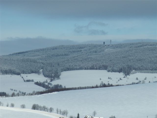
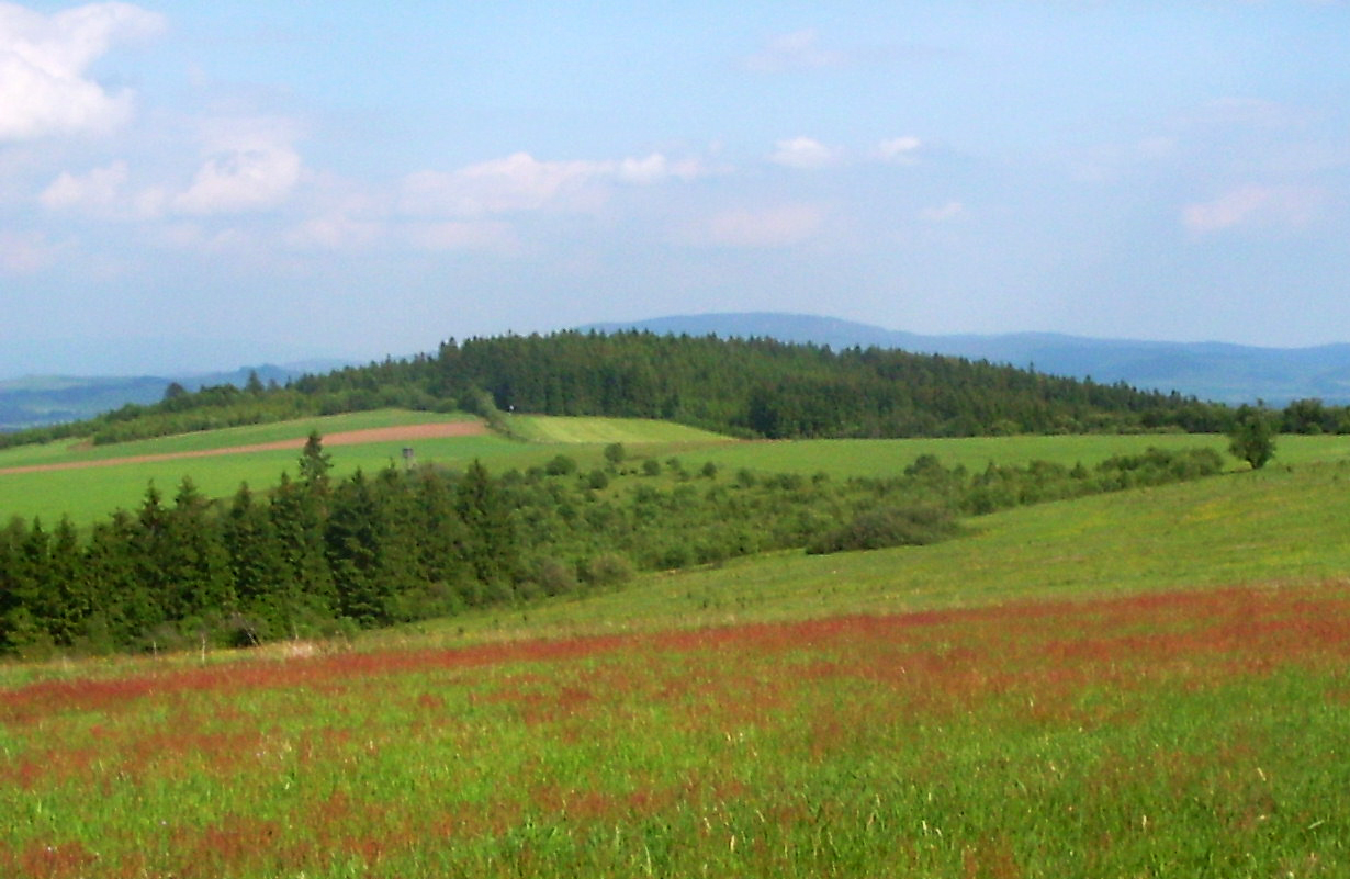
Jeřáb is the highest peak of the Hanušovická vrchovina range at 1,003 metres above sea level, sitting on the historic Bohemian-Moravian border roughly 11 km from Čenkovice. It's the only summit in this modest highland range to cross the thousand-metre mark, which makes it a small but satisfying goal for hikers ticking off regional "thousanders."
Where exactly is Jeřáb?
The peak straddles the old border between Bohemia and Moravia, now echoed by the administrative boundary between the Pardubice and Olomouc regions. It also holds a quieter kind of significance: the main European watershed runs right across the summit, separating drainage toward the Elbe (and onward to the North Sea) from drainage toward the Oder. The summit area and its western slopes fall within Jeřáb Nature Park, established in 1987 to protect this landscape.
What will you actually see up there?
The top itself is covered in spruce forest, so there's no sweeping panorama from the highest point — just partial glimpses through occasional clearings. The real payoff lies about 500 metres northeast of the summit, where a wooden viewing platform sits on a clearing along the ridge. From there you get an open view of the entire Králický Sněžník massif, one of the more distinctive skylines along the Czech-Moravian border. It's an easy add-on once you've reached the top.
Worth knowing: the wider area has more lookout points. About 6 km away stands the Křížová hora observation tower (735 m), built in 2007, and a bit further out, on Suchý vrch (995 m), there's another viewing tower.
How do you get to Jeřáb?
The most common approach starts in Králíky and follows a yellow-marked trail, which joins a blue-marked route near the spring of the Tichá Orlice river before continuing to the summit — about 6 km one way. The paths are well signposted and the terrain is gentle, so the hike works well for families with children and for people without much mountain experience. From Čenkovice, the drive to the trailhead takes roughly 15–20 minutes.
When's the best time to visit?
May through October is the sweet spot, when trails are dry and both the forest clearings and the ridge viewpoint reward the effort. Autumn brings good colour from the deciduous trees mixed into the spruce stands, and in winter, given enough snow, the surrounding area suits cross-country skiing — though the summit itself remains primarily a hiking destination rather than a ski one.
Frequently asked questions
Is there an observation tower on top of Jeřáb? No, the summit itself has no tower. A wooden viewing platform stands about 500 m northeast of the peak, on a ridge clearing, with views toward the Králický Sněžník massif.
How long does it take to climb Jeřáb? The main route from Králíky is about 6 km one way over gentle, well-marked terrain — a relaxed few-hour outing that suits families.
Why is Jeřáb geographically significant? The historic Bohemian-Moravian border (today the Pardubice-Olomouc regional boundary) crosses the summit, along with the main European watershed dividing the Elbe and Oder river basins.
Are there other viewpoints nearby? Yes — the Křížová hora observation tower, standing since 2007, is about 6 km from Jeřáb, and another tower can be found on the nearby Suchý vrch.
Nearby places

Earn badges for the places you visit
Download NextOnTrip, discover new places and check off your trails.