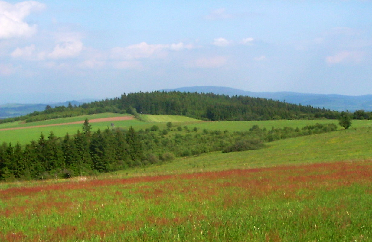
About this place
Graniczny Wierch is a modest border hill between Poland and the Czech Republic, rising in the Bystrzyckie Mountains, part of the Central Sudetes. The summit marks a stretch of the administrative boundary between the Międzylesie municipality in Poland's Kłodzko County (Lower Silesian Voivodeship) and the Czech town of Mladkov on the other side.
Where exactly is Graniczny Wierch?
The hill falls administratively under the Międzylesie municipality, and its land is registered within the cadastral area of the village of Kamieńczyk. Its coordinates sit around 50.111°N, 16.646°E, placing it right in the middle of the Bystrzyckie Mountains — a gentle, heavily forested range within the Central Sudetes. The name is no accident: the ridge on which the hill sits runs directly along the Polish-Czech border, separating Kamieńczyk on the Polish side from Mladkov on the Czech side.
How do you get there?
For travelers coming from Poland, the natural starting point is Międzylesie, a small town in Kłodzko County that sits on the route linking the city of Kłodzko with border crossings in this part of the Sudetes. A local road runs from Międzylesie to Kamieńczyk, from where the border ridge can be reached on foot. On the Czech side, Mladkov serves as the equivalent reference point, with its own local roads and paths leading up toward the range.
The whole area lies away from the busiest Sudeten trails, so Graniczny Wierch tends to attract visitors looking for a quiet walk through the forest rather than crowds of mountain tourists.
What kind of landscape is this?
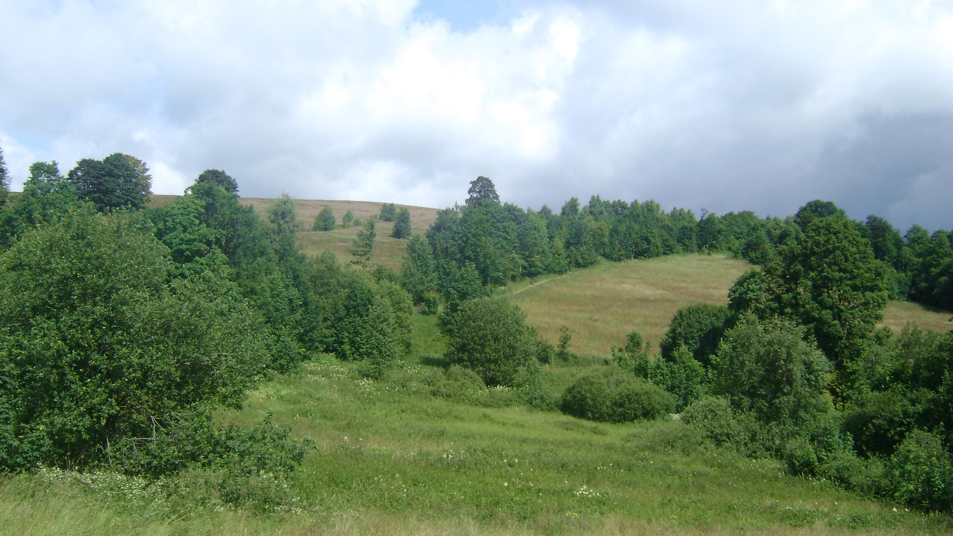
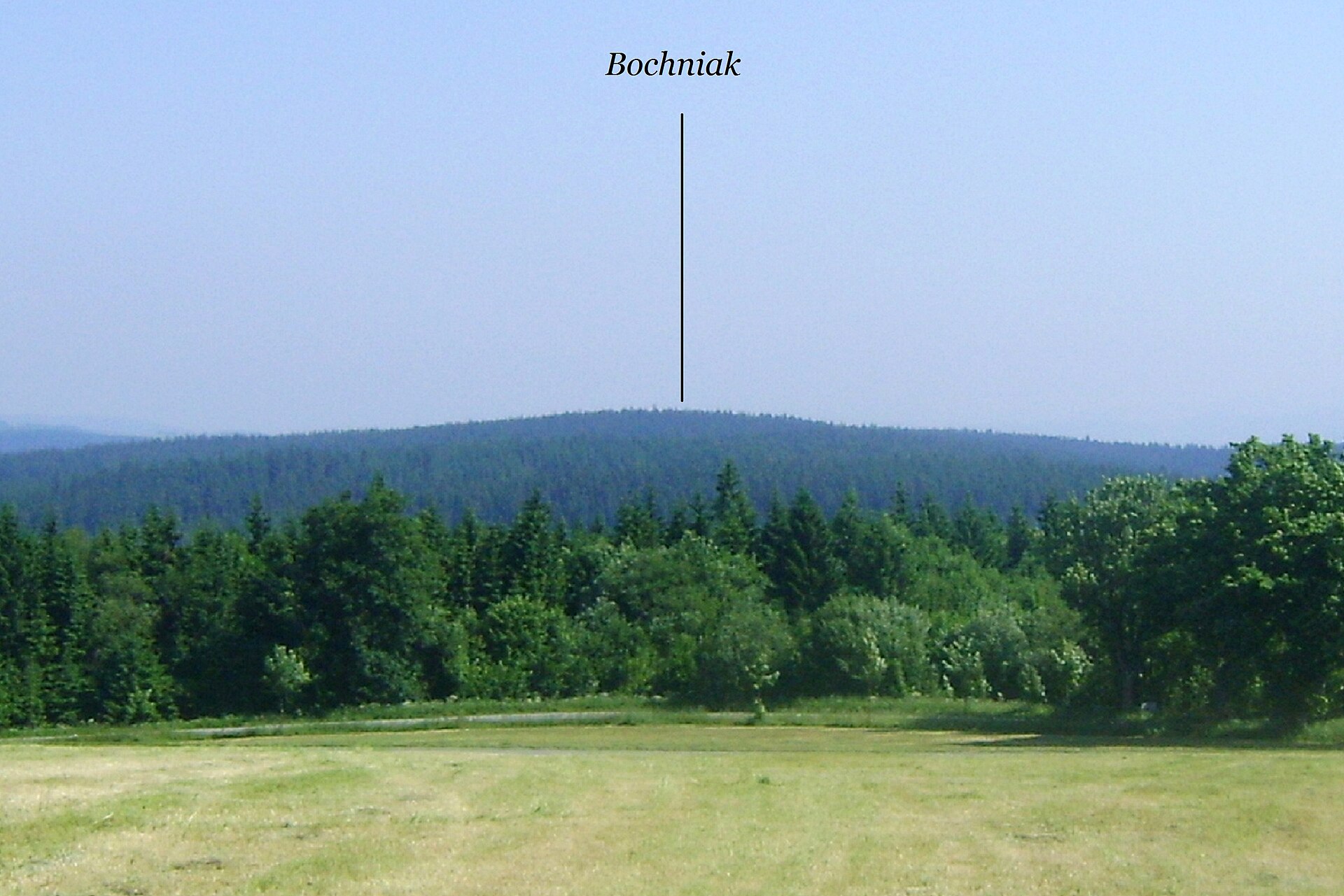
The Bystrzyckie Mountains are among the gentler, less well-known ranges of the Central Sudetes. Unlike better-known neighboring ranges such as the Table Mountains (Góry Stołowe) or the Śnieżnik massif, the Bystrzyckie range is defined by rounded ridgelines, extensive spruce and mixed forest, and an absence of dramatic rock formations. It's a landscape typical of many border stretches of the Sudetes: quiet, broad hills that have separated Silesian and Bohemian lands for centuries.
The fact that the summit sits exactly on the borderline makes it a point of interest for anyone curious about how borders in this part of Central Europe took shape. The area around the historic County of Kłodzko (Glatz) was disputed between the Bohemian Crown and Silesia for centuries, and today's border near Międzylesie and Mladkov is one of many traces of that layered history.
When is the best time to visit?
Given the forested character of the area, spring and early autumn are the most rewarding times to visit — temperatures are comfortable for longer walks, and visibility through the woods tends to be at its best. In summer, the dense tree cover offers good shelter from the heat, while in winter the area can be harder to reach due to snow and limited clearing of the access roads on both sides of the border.
Frequently asked questions
Where exactly is Graniczny Wierch located? It's a hill in the Bystrzyckie Mountains, part of the Central Sudetes, sitting right on the Polish-Czech border — within the Międzylesie municipality (Kłodzko County, Lower Silesian Voivodeship) on the Polish side and near Mladkov on the Czech side.
Is Graniczny Wierch a popular tourist destination? No — it isn't heavily visited. It lies away from the main Sudeten hiking trails, which makes it appealing to travelers looking for quieter, less crowded routes.
How do you reach the area around Graniczny Wierch? The easiest approach is to drive to Międzylesie, then take the local road to the village of Kamieńczyk, from where a walking route continues toward the border ridge.
Why is the hill called "Graniczny Wierch"? The name reflects its location directly on the ridge that marks the state border between Poland and the Czech Republic.
Nearby places

Earn badges for the places you visit
Download NextOnTrip, discover new places and check off your trails.