About this place
Jelení vrch is a 1,024-metre summit on the Czech side of the Krkonoše mountains (the Giant Mountains), part of the Western Sudetes range. It sits close to the southern edge of the central Krkonoše ridge, about 2.5 km north of the village of Černý Důl. Older German-language maps and guidebooks referred to the peak as Bönischberg.
Where exactly is it?
The summit lies at coordinates 50.6558 N, 15.6978 E, right where the mountainous core of the Krkonoše begins to fall away toward the Podkrkonoší foothills. To the north, the Rejdiště saddle, at roughly 985 metres, separates Jelení vrch from the neighbouring Liščí hora massif. The peak itself carries a short ridge, only about 700 metres long, flanked by Sluneční hora to the west and closed off by Špičák roughly 700 metres to the southeast. The eastern flank is noticeably steeper than the rest of the mountain and drops directly into the valley of the Čistá stream.
How do you get there?
Most visitors start from Černý Důl, a small resort village at the foot of the mountain, reachable by road from both Vrchlabí and Pec pod Sněžkou. A yellow-marked hiking trail leads to the top, and at a relaxed pace the climb from the valley takes well under an hour. The path runs mostly through forest on gently rising ground, with no exposed or technically demanding sections, so it suits hikers of most fitness levels.
What will you see up there?
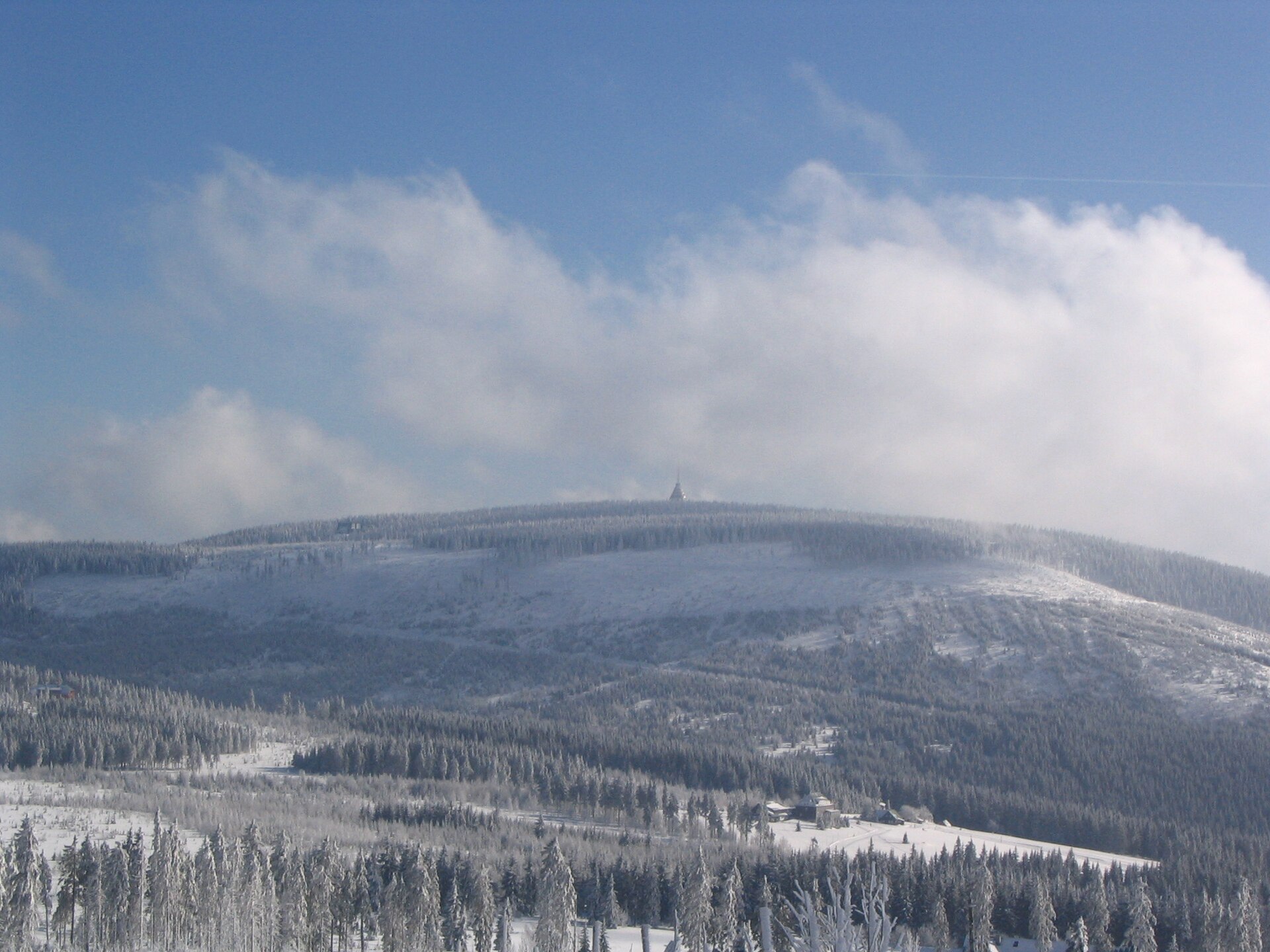
Jelení vrch is not one of the tallest or best-known summits in the Krkonoše — several peaks along the main ridge, including Sněžka itself, rise considerably higher — and that is precisely why it tends to stay quiet even when trails near the range's highest peak are crowded. The ridge is covered in forest typical of the lower montane belt found across this part of the Sudetes. The steep eastern slopes falling toward the Čistá valley give a clear sense of the terrain along the southern edge of the range, where the high mountains give way to rolling foothills. It's a good choice for an unhurried walk away from the crowds, and the route can easily be extended onto neighbouring Sluneční hora or Špičák.
When should you visit?
The best window for hiking runs from May to October, when trails are dry and easy to follow and the forested stretch offers welcome shade on hot days. In winter, Černý Důl turns into a ski resort, and the hiking paths themselves can be snow-covered, so proper footwear or snowshoes are advisable.
Frequently asked questions
How high is Jelení vrch? The summit reaches 1,024–1,025 metres above sea level, depending on the source.
Where is Jelení vrch located? On the Czech side of the Krkonoše mountains, on the southern edge of the central ridge, about 2.5 km north of Černý Důl.
Which trail leads to the top? A yellow-marked hiking trail starting near Černý Důl, running through forest with no difficult or exposed sections.
Can the hike be combined with other summits? Yes — the ridge connects directly to Sluneční hora to the west and Špičák to the southeast, making it easy to extend the walk to nearby, equally quiet peaks.
Nearby places

Earn badges for the places you visit
Download NextOnTrip, discover new places and check off your trails.