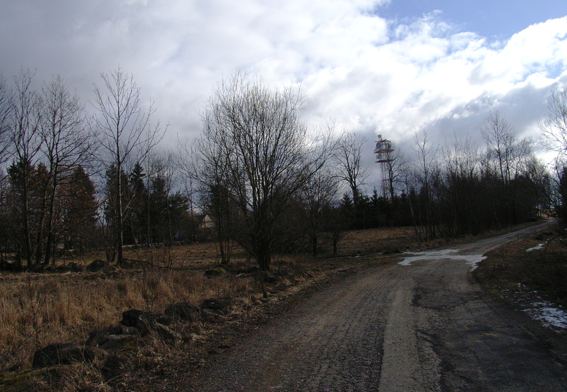
About this place
Javorová skála rises above the small South Bohemian town of Jistebnice as the highest point of the Jistebnická pahorkatina (Jistebnice Hills), reaching 723 metres above sea level. The peak lies roughly 6.5 km north of Jistebnice, within the Jistebnická vrchovina Nature Park, in the cadastral territory of the village of Cunkov.
Where exactly is it?
The hill sits almost exactly on the boundary between the South Bohemian and Central Bohemian regions, making it something of a natural marker for hikers crossing between the two. The surrounding countryside is quiet and thinly populated, dominated by large forest tracts and scattered small villages rather than tourist infrastructure.
How do you get there?
Marked hiking trails lead all the way to the top. The easiest approach is the green trail, starting either in Jistebnice itself or in the nearby hamlet of Cunkov; either way, the walk to the summit takes under an hour at a relaxed pace. A yellow trail from Nadějkov, about 5 km away, joins the green route at the base of the hill. There is no road to the summit, so plan to park in Jistebnice or Cunkov and continue on foot.
What will you find at the top?
A telecommunications relay tower is the most obvious feature on the summit, and the peak itself is covered by mature forest. Despite its considerable topographic prominence — Javorová skála ranks among the more isolated peaks in South Bohemia — the tree cover means visitors shouldn't expect sweeping panoramic views from the very top. The real draw lies in the rock formations scattered across the slopes, including granite boulders that appeal to geology enthusiasts and nature photographers alike.
What else is worth seeing nearby?
About a kilometre from the summit stands Čertovo břemeno ("the Devil's Burden"), a distinctive granite rock formation and one of the more striking natural features in the area. Roughly 200 metres south of the peak, the Javorová skála campsite offers accommodation for hikers and cyclists who want to base themselves in a forest setting. It makes a convenient starting point for further walks through the Jistebnická vrchovina Nature Park.
When is the best time to visit?
May through September is the most comfortable window, with dry trails and forest shade that helps on hot days. Autumn brings attractive foliage colours, though paths can get muddier. The route stays passable in winter as well, but expect snow and shorter daylight hours.
Frequently asked questions
How high is Javorová skála? The summit reaches 723 metres above sea level, making it the highest point of the Jistebnická pahorkatina.
Can you see far from the top? Not really — the summit is forested, so the highlight is the rock formations rather than a wide panorama.
How long is the hike from Jistebnice? Following the green trail from Jistebnice, most walkers reach the summit in under an hour.
Is there somewhere to stay nearby? Yes, the Javorová skála campsite sits about 200 metres south of the peak and is popular with hikers and cyclists.
Nearby places

Earn badges for the places you visit
Download NextOnTrip, discover new places and check off your trails.