About this place
Île de Dave is one of the largest river islands in Belgium, sitting in the Meuse River roughly 5 kilometres south of Namur, in the Walloon Region. The island lies between the villages of Dave and Wépion, which the river separates from one another.
How big is the island?
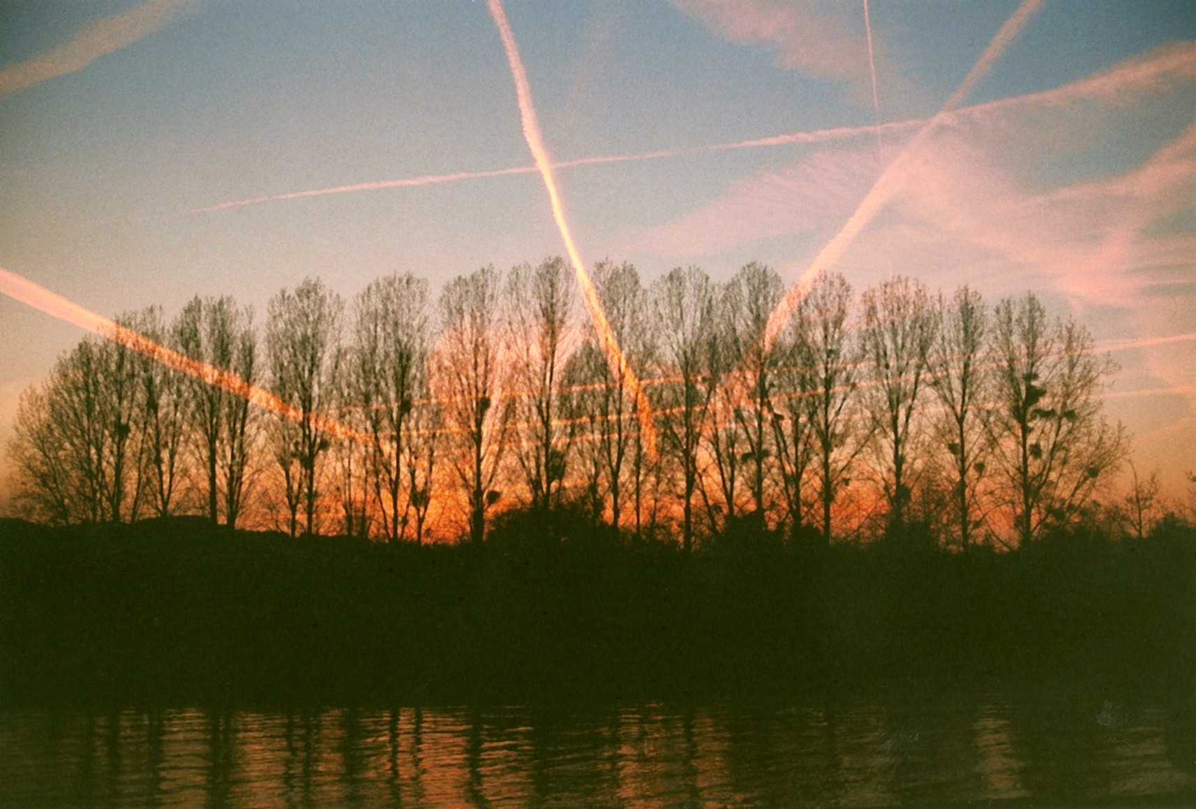
Île de Dave covers close to 12 hectares. Most of that area is wooded, dominated by poplar plantations alongside patches of alder woodland, old willows, and even the remains of a former orchard. This mix of habitats has made the island one of the more valuable natural sites in the Meuse valley.
Why is the island protected?
The city of Namur first requested protected status for the island in 1982. A state nature reserve was formally established there in 1992, and today Île de Dave holds the status of a state-managed nature reserve (réserve naturelle domaniale) and forms part of the Natura 2000 protected area network. The island is also described as one of the few along this stretch of river to have escaped the destruction that affected other islands during past river-engineering works, which is why it has kept its natural character.
What wildlife lives there?
The island is a refuge for water and woodland birds that nest there throughout the year. Species most often mentioned include the great crested grebe, the common kingfisher, and the grey heron — the latter being relatively uncommon elsewhere in Wallonia, which adds to the site's ecological value. This richness of birdlife goes hand in hand with a variety of habitats: tree- and shrub-lined banks, open clearings left by the old orchard, and damp patches of alluvial forest provide shelter for many species year-round.
What kind of vegetation grows on the island?
The vegetation is typical of alluvial forest found on floodplains of large rivers. Poplars are the most abundant trees, growing alongside ash, alder, and willow. This type of forest is particularly sensitive to changes in water levels, which is one reason it needs protection — the Meuse's regular flooding shapes the conditions under which this vegetation develops.
Can visitors explore the island?
A signposted walking trail links the villages of Naninne and Dave, known as the "Naninne–Dave" route, and another trail follows the banks of the Meuse near Wépion. These routes let visitors admire the island and its surroundings from the riverbank without disturbing the reserve's ecosystem itself, which — like most state-managed reserves in Wallonia — is subject to access restrictions designed to protect the nesting birds and the sensitive alluvial vegetation.
Frequently Asked Questions
Where exactly is Île de Dave located? On the Meuse River, about 5 km south of Namur, between the villages of Dave and Wépion.
How large is the island? It covers close to 12 hectares.
Since when has the island been protected? Namur requested protection in 1982, and a nature reserve was formally established in 1992.
What birds can be seen there? Among others, the great crested grebe, the common kingfisher, and the grey heron, which is rare elsewhere in Wallonia.
Is the island part of the Natura 2000 network? Yes, Île de Dave is protected as part of the Natura 2000 network.
Nearby places

Earn badges for the places you visit
Download NextOnTrip, discover new places and check off your trails.