About this place
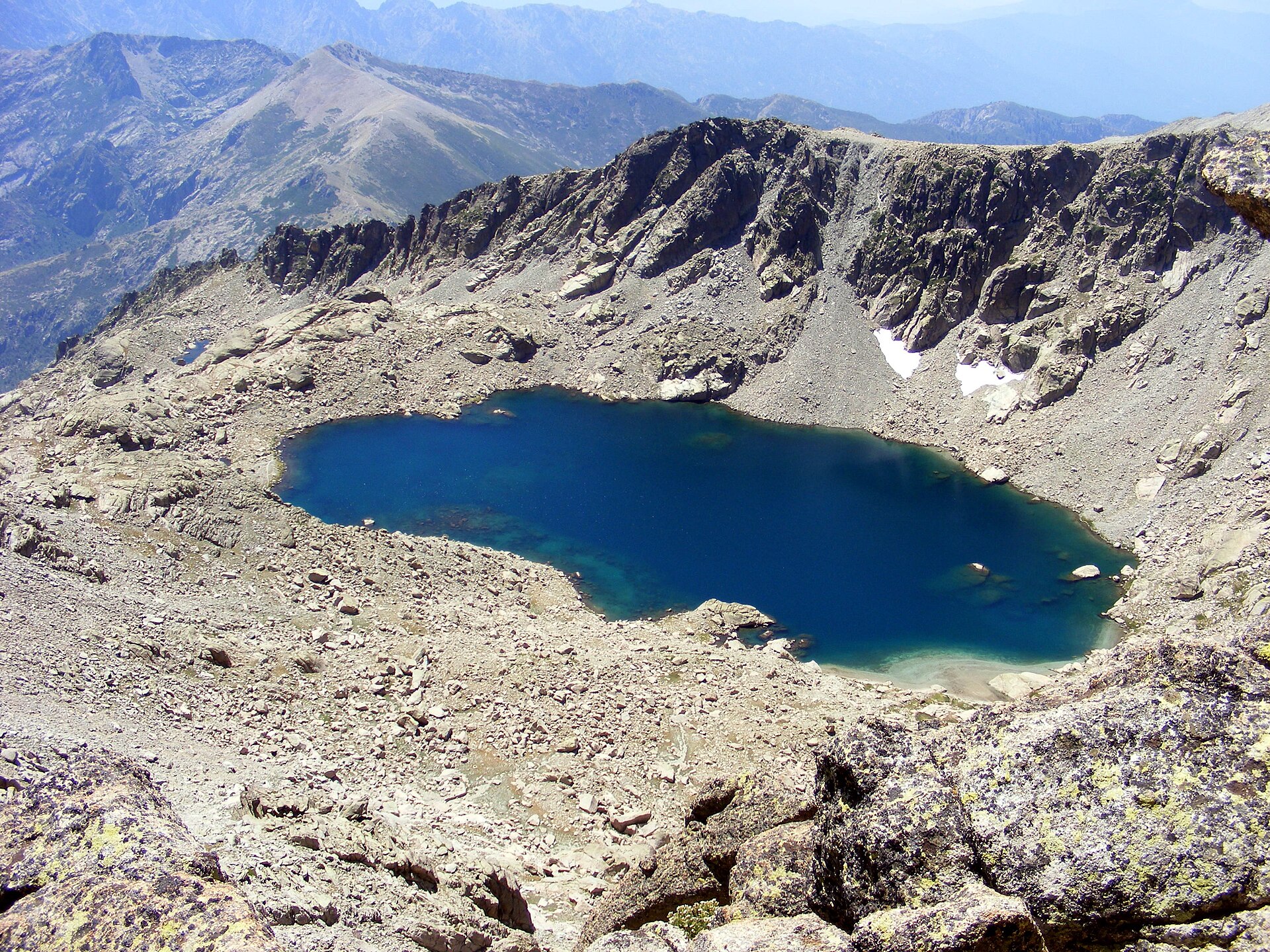
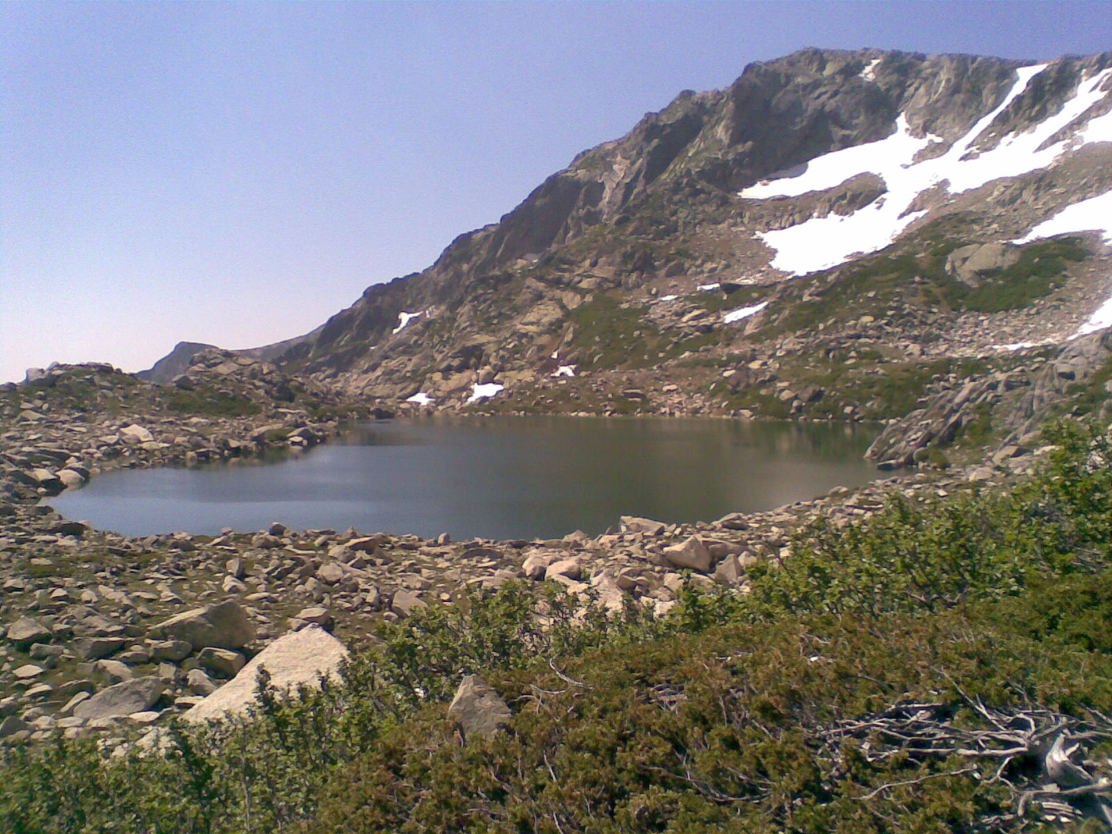
Grand lac d'Oro sits at roughly 1,970 metres above sea level in the Monte Rotondo massif, within the commune of Vivario in Haute-Corse. Tucked beneath the summit of Monte d'Oro (2,389 m) and inside the Corsica Regional Nature Park, it's a high-altitude tarn that rewards only those willing to commit to a full day of demanding mountain walking to reach it.
Where is the lake located?
The lake lies in a side valley of the massif, close to the Vizzavona pass, ringed by rocky ridgelines. A short distance below it, at around 1,563 m, sits its smaller sibling, the Petit Lac d'Oro. Both are within the commune of Vivario, a village best known to hikers as a gateway to Monte d'Oro and as a stop along the famous GR20 long-distance trail.
How do you get to Grand lac d'Oro?
Most hikers start from the hamlet of Canaglia, where cars are left just past the bridge. The route begins on the Mare a Mare Nord trail (Pastricciola variant, marked with orange paint), before joining the GR20 (red-and-white markers) heading toward the Onda refuge below Vizzavona. From there the path steepens and turns increasingly rocky; the final stretch has no formal waymarking at all, relying instead on stone cairns, and crosses wet, slippery rock where hikers need to use their hands in places.
How long does the hike take, and how hard is it?
The full loop from Canaglia covers around 22 km with roughly 1,400 m of cumulative elevation gain — realistically an eight-hour-plus day out. It's classed as a difficult route, not suited to inexperienced walkers: the rock sections turn treacherous after rain, and the upper part of the trail demands confident route-finding.
What is there to see along the way?
The trail follows the Manganello valley, where the river carves out clear natural pools that make a good rest stop. Hikers pass the Méli waterfall and stretches of Laricio pine forest, then higher up the ruined stone shepherd huts of Giargialiccia. The last section pushes through maquis scrub and alder-covered rock before opening onto the lake itself, set in a stark alpine bowl. From the summit of Monte d'Oro — reachable via the alpine variant of GR20 stage 9 between the Onda and Vizzavona refuges — the view stretches to Monte Rotondo in the north and Monte Renoso in the south.
FAQ
Is Grand lac d'Oro directly on the GR20? No. The lake sits on a side approach that meets the GR20 near the Onda refuge; the main trail itself passes nearby via the Agnone valley or, for experienced hikers, the alpine variant over the Monte d'Oro summit.
When is the best time to hike here? Summer, from June to September, once the snow has cleared from the higher ground and the rock is dry. The final rocky stretch becomes genuinely dangerous when wet.
Is this hike suitable for beginners? No. Between the distance, the elevation gain, and the scrambling required near the lake, it calls for good fitness and prior experience on rough mountain terrain.
How high up is the lake itself? Grand lac d'Oro sits at about 1,970 m, with its smaller neighbour, Petit Lac d'Oro, lower down at around 1,563 m.
Nearby places

Earn badges for the places you visit
Download NextOnTrip, discover new places and check off your trails.