Save this place and discover nearby attractions with NextOnTrip
In the app you can add it to your favorites, see what else is worth visiting nearby on the map, and earn a badge for your visit.
The app is available for iPhone and Android.
About this place
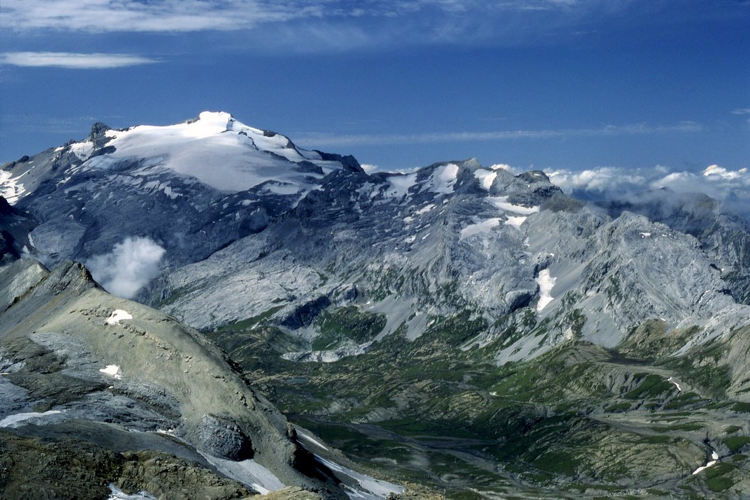
Giferspitz (2,541 m) is a summit in the western Bernese Alps that rises above Saanen and the resort of Gstaad in the canton of Bern. It is the high point of the ridge system between Gstaad and Lenk, lies just north of the Wildhorn, and tops out as the highest ground in the municipality of Saanen. It suits strong hikers who want a big view without the crowds.
Where is the Giferspitz?
The mountain sits in the Gstaad holiday region. The Turbach valley lies to its north, Gstaad and Saanen to the west, and Lauenen and Lenk to the southeast. Sources quote 2,541 m or 2,542 m, depending on the map.
How do you climb it?
The standard route is the Turbach – Giferspitz – Turbach loop (W31): about 14.7 km, roughly 1,400 m of ascent and around six hours. The path crosses forest and clearings, passes the Bärgli point, fords the Berzgumm stream and runs by alpine huts to the Giferhüttli. A rocky ridge then leads to the top.
The trail is steep and in places exposed. It is graded T3 (demanding mountain hiking) on the Swiss scale, so you need sure footing, sturdy boots and mountain experience. Wait until the snow has gone.
For the descent, retrace your steps or take the longer loop via the Louwenehore, Turnelsattel pass and Obere Turnels. Another approach starts in Lenk: ride the Betelberg gondola to the Lauenenhorn, then follow the link to the summit and drop down the north ridge toward Scheidbach. That section takes about 2.5 hours from the Lauenenhorn and is for hikers with a head for heights. A postal bus runs from Gstaad to Turbach; parking there is limited.
What can you see from the top?
The summit opens onto the Saanen valley, the Gstaad and Lenk areas and the neighbouring Bernese peaks, including the Wildhorn massif. The regional tourist office describes the panorama as magnificent.
When should you go?
Midsummer and early autumn work best, once the trail is clear of snow. Check the forecast and conditions first; the nearby Wasserngrat hut opens only on selected days of the season.
Frequently asked questions
How high is the Giferspitz? About 2,541–2,542 m above sea level, depending on the map.
Is the climb difficult? Yes. It is a T3 mountain trail, steep and partly exposed, for experienced walkers.
Where should you start? Most people start in Turbach, reached by bus from Gstaad. The alternative is a traverse from Lenk via the Lauenenhorn.
How long does it take? The loop from Turbach takes about six hours.
Nearby places

Earn badges for the places you visit
Download NextOnTrip, discover new places and check off your trails.