About this place
Duden Park is an urban public park located in the municipality of Forest, part of the Brussels-Capital Region in Belgium. It covers an area of 24 hectares and is notable for its pronounced difference in elevation across the site — a level difference of 45 metres between its lowest and highest points, with the highest point reaching an elevation of 90 metres above sea level.
Where is Duden Park located?
The park sits within Forest, one of the municipalities that make up the Brussels metropolitan area. Its geographic coordinates place it at roughly 50.817°N, 4.331°E, in the southern part of Brussels. This position makes Duden Park a significant piece of green infrastructure for the wider city, serving both residents of Forest and visitors to the Belgian capital.
How large is the park and what does its terrain look like?
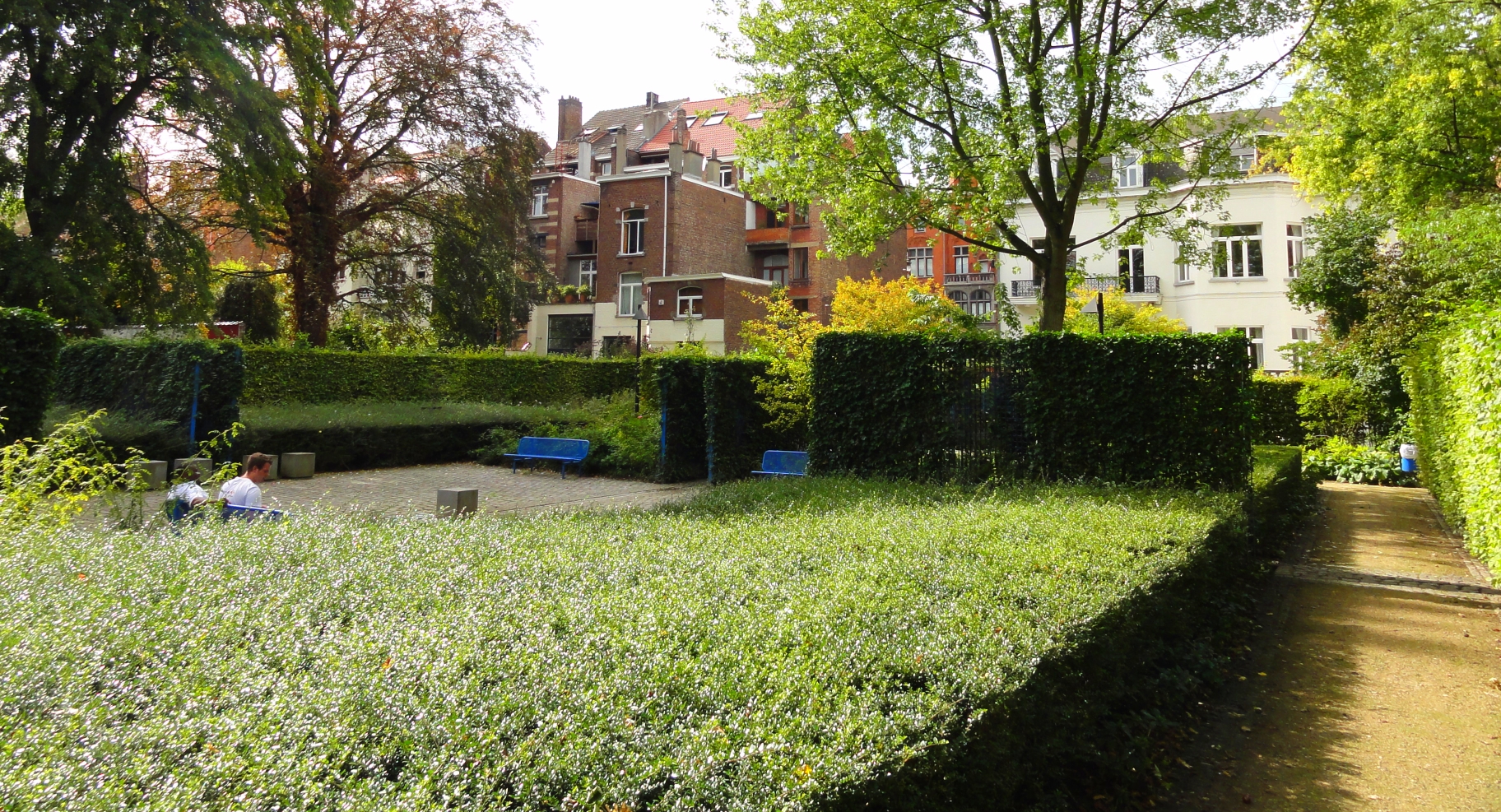
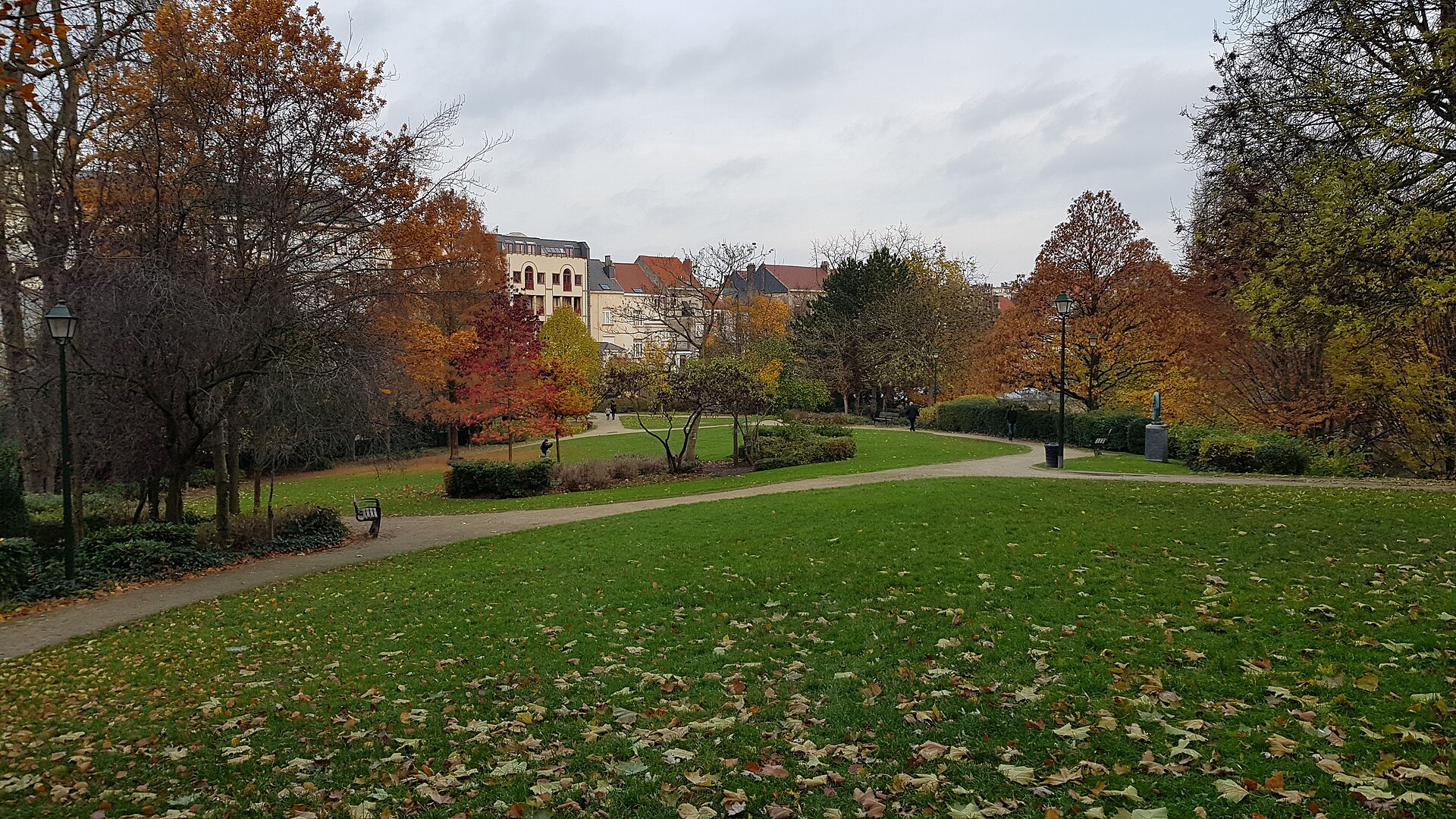
At 24 hectares, Duden Park ranks among the more substantial green spaces in this part of Brussels. What sets it apart from many other urban parks is the scale of its terrain variation. A level difference of 45 metres means the ground within the park is far from flat — visitors moving through it encounter slopes, rises, and dips rather than a uniform, even surface. This gives walks through the park a noticeably more varied, almost hilly character than is typical for green spaces embedded in a dense urban setting. The park's highest point, at 90 metres, anchors the upper end of this elevation range.
Why does the elevation profile matter for visitors?
Terrain of this kind is uncommon in urban parks. Most parks in densely built-up areas are laid out on comparatively flat ground, since flat terrain simplifies both design and everyday use. Duden Park's 45-metre difference between its lowest and highest points means the site has a genuinely varied topographic profile, which in turn creates different conditions — in terms of vantage points and microclimate — across its different sections. The rises and depressions in the land form distinct zones within the park, and the scale of the vertical difference, comparable to a mid-rise building, illustrates that the park's scale is not only about area but also about its vertical dimension.
What is the administrative context of the park?
Duden Park lies within the administrative boundaries of the municipality of Forest, one of the nineteen municipalities that make up the Brussels-Capital Region. This places the park in direct proximity to urban development, which is typical for most of the larger parks located within Brussels and its constituent municipalities. The fact that such an extensive and topographically varied green space exists within the boundaries of a single urban municipality underscores its importance as a public space in this part of the city.
Frequently asked questions
How big is Duden Park? The park covers an area of 24 hectares.
Where exactly is Duden Park located? It is located in the municipality of Forest, in the Brussels-Capital Region of Belgium, at approximate coordinates 50.817°N, 4.331°E.
Is the park's terrain flat? No — there is a 45-metre difference in elevation between the park's lowest and highest points, with the highest point reaching 90 metres above sea level.
Which administrative region does the park belong to? The Brussels-Capital Region, within the municipality of Forest.
Nearby places

Earn badges for the places you visit
Download NextOnTrip, discover new places and check off your trails.