Save this place and discover nearby attractions with NextOnTrip
In the app you can add it to your favorites, see what else is worth visiting nearby on the map, and earn a badge for your visit.
The app is available for iPhone and Android.
About this place
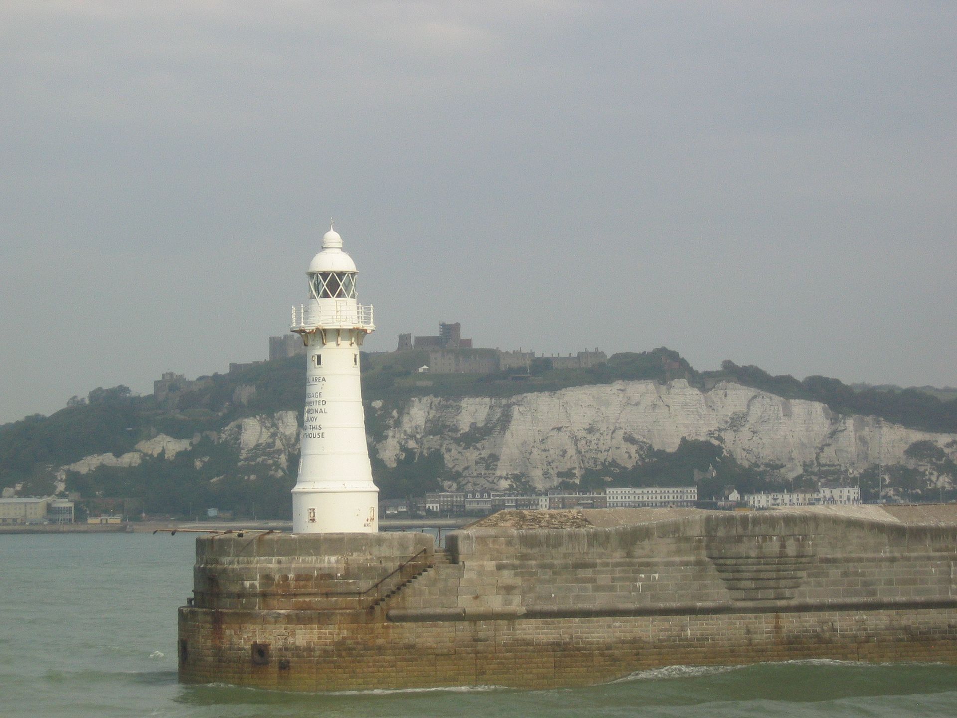
Dover Breakwater West End light is a white cast-iron lighthouse on the western tip of the Southern Breakwater in Dover Harbour, Kent. Heritage records also call it the West Head Light. Together with the light on Admiralty Pier, it marks the western entrance to the port used by cross-Channel ferries.
What is this lighthouse?
It belongs to the Southern Breakwater, built between 1898 and 1909 to a design by Coode, Son and Mathews. The breakwater stands as a free-standing island about 1.3 km long, between Admiralty Pier and the Eastern Arm. It is described as the first artificial harbour constructed in the 20th century. Its concrete blocks weigh 26 to 42 tons each and are faced with granite above the waterline.
The tower has a cylindrical base and four stages, tapering from the second one upward. A walkway on curved brackets circles the domed lantern. The listing gives no height for it, so none is stated here.
What else stands at the west end?
Around the lighthouse sits a small defensive battery: flat-roofed barracks and magazines topped by concrete gun emplacements. The guns are gone, but early 20th-century fittings and some wall murals remain. The breakwater's second light, the Knuckle Light, stands about three quarters of the way along, where the east end begins to curve north.
Why does it matter?
The breakwater sheltered warships in both World Wars, including during the 1940 Dunkirk evacuation. It was listed Grade II on 16 December 2009 together with the Knuckle and West Head lighthouses (Historic England entry 1393607).
How can you see it?
The breakwater is part of the working port run by Dover Harbour Board, so it is not a visitor attraction with open access. The best views are from the water, on a ferry entering or leaving the harbour, or from the shore near the port looking west. Coordinates: 51.11315 N, 1.32997 E.
Frequently asked questions
Can I walk out to the lighthouse?
No. The breakwater lies inside the port zone and the light is a navigation aid, not a museum.
Is the lighthouse a listed structure?
Yes. It forms part of the Southern Breakwater, listed Grade II in 2009.
How is it different from the Admiralty Pier light?
Admiralty Pier is a separate structure with its own lighthouse dating from 1908. The West End light stands at the western end of the detached outer breakwater.
When is the best time to see it?
In daylight on a ferry crossing, when the white cast-iron body is clearly visible. After dark its navigation light picks it out.
Nearby places

Earn badges for the places you visit
Download NextOnTrip, discover new places and check off your trails.