About this place
Corre Agua (Miradouro do Corre Água) is a viewpoint on Pico Island in the Azores, in the municipality of São Roque do Pico. It sits at a road crossing roughly halfway between the towns of São Roque do Pico and Lajes do Pico, at about 750 m above sea level. Its coordinates are 38.479° N, 28.290° W.
What can you see from Corre Agua?
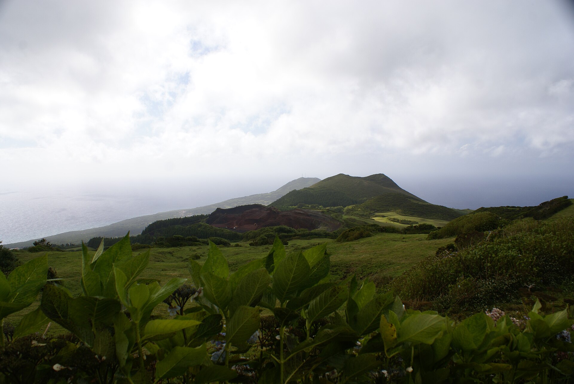
The viewpoint opens onto the hillside falling toward the coast, the town of São Roque do Pico and a stretch of the island's north coast. Looking north, you can also take in the channel separating Pico from neighbouring São Jorge, along with the outline of São Jorge itself. In clear weather, coastal settlement, open water and a second island all fit into a single frame.
Where is it and how do you get there?
Miradouro do Corre Água stands beside a road that crosses the island, so it makes a natural short stop for anyone travelling between São Roque and Lajes do Pico. It needs no dedicated excursion: pull over, stretch your legs and take a few photos. Cyclists know it well too, since climbs lead up to it from several directions.
Cycling up to Corre Agua
The Climbfinder site describes three ways up to this point:
- from Lajes do Pico: 10.9 km, 685 m of vertical ascent, 6.3% average gradient, the most popular route;
- from Cais do Pico: 9.9 km, 734 m of vertical ascent, 7.5% average gradient;
- from Parque Florestal da Prainha (the Prainha forest park).
The top of the climb is at 750 m above sea level. On the Lajes do Pico side you first get occasional sea views, then an increasingly good look at the Pico volcano, and the final stretch runs through green fields and hills with the volcano in the background.
Corre Agua and Montanha do Pico
The name also comes up in connection with Portugal's highest mountain, Montanha do Pico. Cycling sites list Miradouro do Corre Água as a starting point for a climb toward Montanha do Pico / Bico do Milhafre, and Wikidata records Corre Agua as a mountain in Portugal. For visitors, the viewpoint is a convenient place to get a feel for the volcanic island's landscape before heading deeper into Pico.
Frequently asked questions
Where is Corre Agua? On Pico Island, in the municipality of São Roque do Pico, at a road crossing halfway between São Roque and Lajes do Pico.
How high is the viewpoint? About 750 m above sea level.
What can you see from here? The hillside, the town of São Roque do Pico, part of the north coast, and the channel and island of São Jorge.
Can you cycle here? Yes. Climbs lead up from Lajes do Pico (10.9 km), Cais do Pico (9.9 km) and Parque Florestal da Prainha.
How long should you stay? It is a short stop while crossing the island; a longer stay mainly makes sense when visibility is good.
Practical tips
When planning a trip around Pico, treat Corre Agua as a stop on the route between the north and south coasts. Weather at this altitude can change quickly, so bring a warmer layer, and cyclists should carry water, since the climb runs more than nine kilometres.
Nearby places

Earn badges for the places you visit
Download NextOnTrip, discover new places and check off your trails.